ABOUT THE PARK:
DIRECTIONS:
GPS Coordinates 42.02399, -74.59962
 |
| Balsam Lake Mountain Trailhead at the end of Beaverkill Road. |
TRAIL MAP:
HIKE DISTANCE: 7.9 miles
THE HIKE:
This being my "back to normal" weekend after chemo round 1 and before round 2 starts, I decided to try something more ambitious and headed for the Catskills. There were alternate plans had I felt this hike would be too much once I was in it but it was fine. I did the entire hike as originally planned.
 |
| Taking the blue-blazed Dry Brook Ridge Trail from the parking lot. |
 |
| It's uphill all the way with some running water on the trail and some sloppy muddy parts, particularly after storms the night before. |
 |
| In a little under a mile you can go either way. I went left on the red-blazed trail since that is the steepest section and I prefer uphill over downhill for the steepest parts. |
 |
| It goes up steeply but there are never any scrambles. |
 |
| Passing the side trail to the shelter. |
 |
| 3500 ft elevation |
 |
| Just past the spring is an overgrown section ... |
 |
| ... then the steepest uphill part. |
 |
| The trail levels out at the top and it's easy going to ... |
 |
| ... the intersection with the yellow-blazed Mill Brook Ridge Trail. Right is to the fire tower, we went left. |
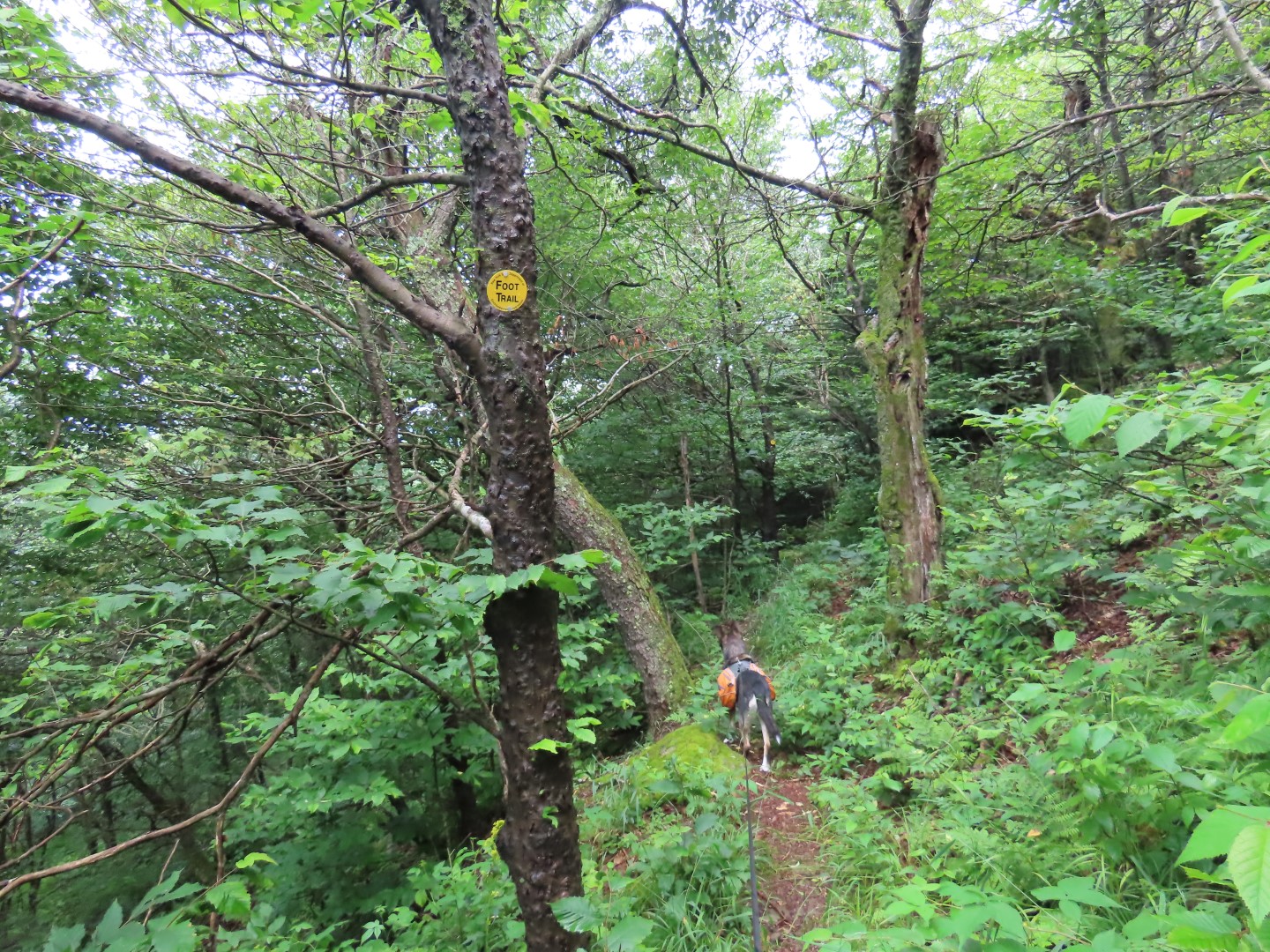
 |
| Although several sections of this trail are overgrown, the tread surface is clear, you just have to push through the vegetation encroaching from the sides. |
 |
| The trail descends with some flat sections in between. |
 |
| The trail ascends just before ... |
 |
| ... the Beecher Lake Overlook. |
 |
| I had my hair cut short in anticipation of losing it all which actually started to happen shortly after this picture. Good-bye hair. |
 |
| Although it's named Beecher Lake Overlook, there is only a sliver of Beecher Lake visible. |
 |
| Heading back the way we came. |
 |
| Only ran into one other hiker while heading back, nobody on the way out. |
 |
| Continuing left on red to the fire tower. |
 |
| Balsam Lake Mountain Fire Tower |
 |
| I actually went up in spite of my fear of heights thanks to the fencing on the sides. That is all it takes for me to be able to climb up to above tree level. No higher than that though, because it was WINDY! |
 |
| Continuing on the red trail. I was lucky to have been the only one at the fire tower because there were several larger groups of people heading towards the fire tower having come from the more popular Mill Brook Road parking area. |
 |
| After this gate ... |
 |
| ... watch for the pit toilet on the left after which the red trail ends at the blue Dry Brook Ridge. Straight goes to the Dry Brook Ridge Parking lot. We turned right. |
 |
| Now heading back to the much less popular Beaverkill parking lot, we had the trail to ourselves. |
 |
| Passing by where we had taken the steepest trail early on. Going down on blue was definitely the way to go - a much more gradual descent. |