ABOUT THE PARK:
Cloverdale Farm County Park - Ocean County Parks
Cloverdale Farm County Park Brochure - Ocean County Parks
DIRECTIONS:
GPS Coordinates 39.75852, -74.27885
 |
| Small parking lot with room for about 10 cars. |
TRAIL MAP:
Cloverdale Farm County Park Map - Ocean County Parks
HIKE DISTANCE:
Cloverdale Farm County Park - 2 miles
hiked together with
12 miles/16 minutes away
THE HIKE:
Went to take the first picture and got the "no memory card" error message. EGADS! Forgot to put the memory card back in the camera. I always keep a spare in my backpack for just such an occasion, however, I haven't been wearing my backpack on these short hikes. So iPhone photos it is.
 |
| You might not want to go this way from June to September. |
 |
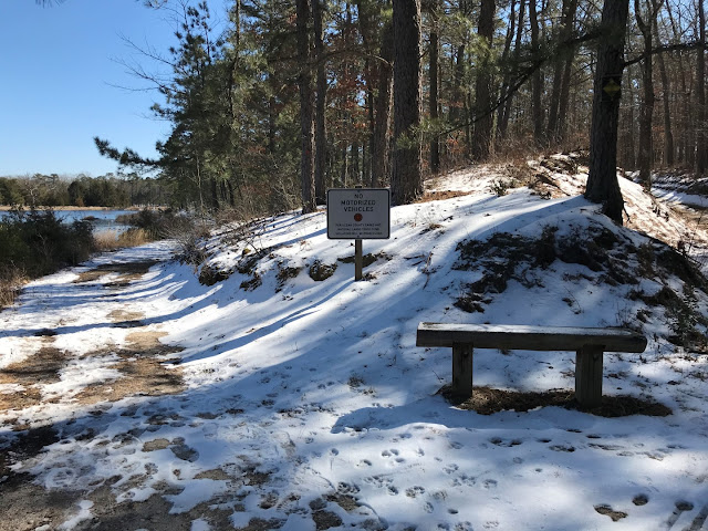
| We did run into trails and benches but no blazes. No problem, we are always game to explore and nice that there were additional trails. |
 |
| The trail loops around and comes at the reservoir. |
 |
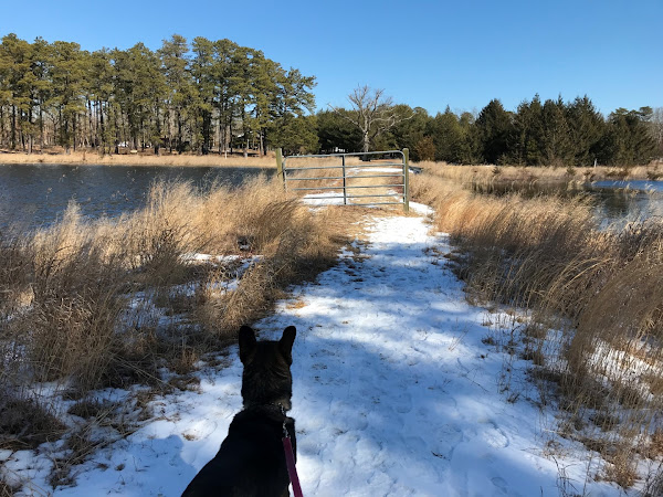
| Reservoir on the right ... |
 |
| ... cranberry bogs on the left. |
 |
| After the gate the trail turns left along the cranberry bogs but I could hear voices that way so I took an unmarked trail up a bit on the right. |
 |
| Higher up with no other people around. |
 |
| Those people that were on the lower trail passed by as we came back to that trail along the bogs and looking to the left - there is the orange trail! |
 |
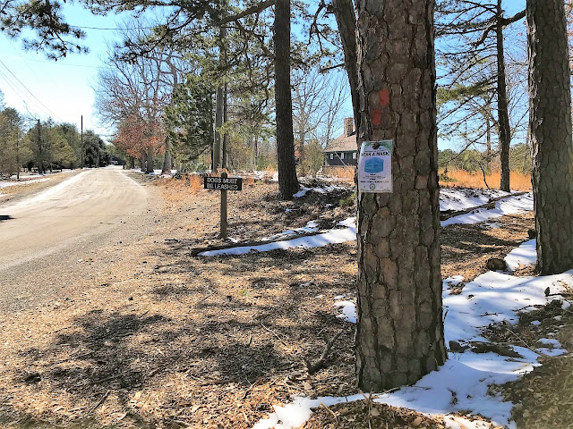
| And there are the blazes. |
 |
| Since the people who were on that trail were now gone, we just backtracked on the orange trail along the bogs. |
 |
| Taking another dike towards the visitor center. |
 |
| Looping back around to where we found the orange trail. |
 |
| We followed some bike tracks and footprints off trail but they didn't lead anywhere. |
 |
| So backtracking on orange and staying with orange the rest of the hike. |
 |
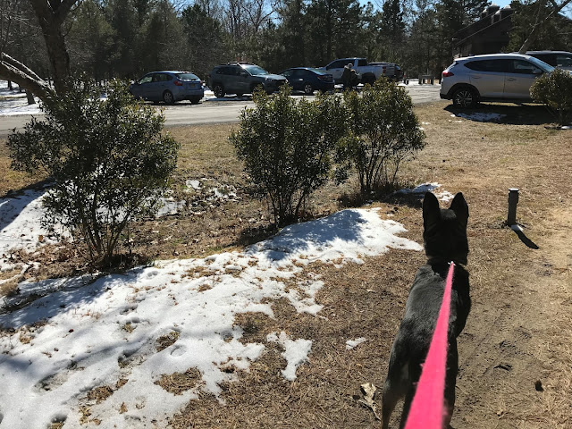
| So there is the parking lot and here we are on the trail. How did we miss getting on the trail? |
 |
| The trail continues its loop past the parking lot. |
 |
| To get to the lot it's a few steps over to the left. |


