

ABOUT THE PARK:
Trail of Tears State Park - Missouri Department of Natural Resources
DIRECTIONS:
GPS Coordinates 37.46374, -89.48522
 |
| Trail Head #2 Parking for the Peewah Trail. |
TRAIL MAP:
One of the odd things about Missouri State Parks is they usually have separate trails that do not connect and provide online maps for each trail, not the entire park. In order to make a loop combining trails there is generally road walking involved. For this hike we hiked the Peewah and Lake Trails with road walking to connect.
Trail of Tears State Park Trails - Missouri Department of Natural Resources
HIKE DISTANCE: 10.9 miles
THE HIKE:
 |
| Starting at Trail Head #2 for the yellow eastern loop of the Peewah Trail. I passed by Trail Head #1 parking to park here figuring this part of the trail would be busy later in the day because round trip to an overlook is 1.5 miles. |

 |
| Doing a perimeter loop like I did comes to about 7 miles over to Trail Head #1. |


 |
| The "spur" to the right leads to an overlook. |
 |
| On the spur trail to ... |

 |
| ... views of the mighty Mississippi River, |


 |
| Coming back off the spur and continuing on the Peewah Trail. |

 |
| At all intersections we stayed right to hike the perimeter of yellow and red combined. |
 |
| Old faded trail markers are scarce but aren't really needed as the trail is easy to follow. |


 |
| Some more views of the Mississippi River along the way. |


 |
| A raccoon was here. |
 |
| The trail descends to cross several creek beds, all of which were mostly dry even after heavy rain two days before. |

 |
| Up to where yellows turns left and we continued right on red to head over to the western side. |


 |
| What have we here, over to the left? |
 |
| Balloon #13 of the year. |
 |
| More water in the creek crossing on this side but I was always able to rock hop over without getting wet. |


 |
| The end of the Peewah Trail at Trail Head Parking #1. |
 |
| We turned right to the intersection ... |
 |
| ...the left heading towards the playground. |
 |
| We had to work our way around to the beach parking lot over to the other side for ... |
 |
| ... the Lake Trail. |


 |
| I heard so many birds singing that I normally don't hear and saw I few I normally don't see but the only ones that allowed photographs were the thrushes. |
 |
| The trail turns left on the campground road briefly but first ... |
 |
| ... seizing the opportunity to take a break at one of those picnic tables. |


 |
| Back through the beach parking lot ... |
 |
| ... left on the road then right at the intersection ... |
 |
| ... passing by Trail Head #1 ... |
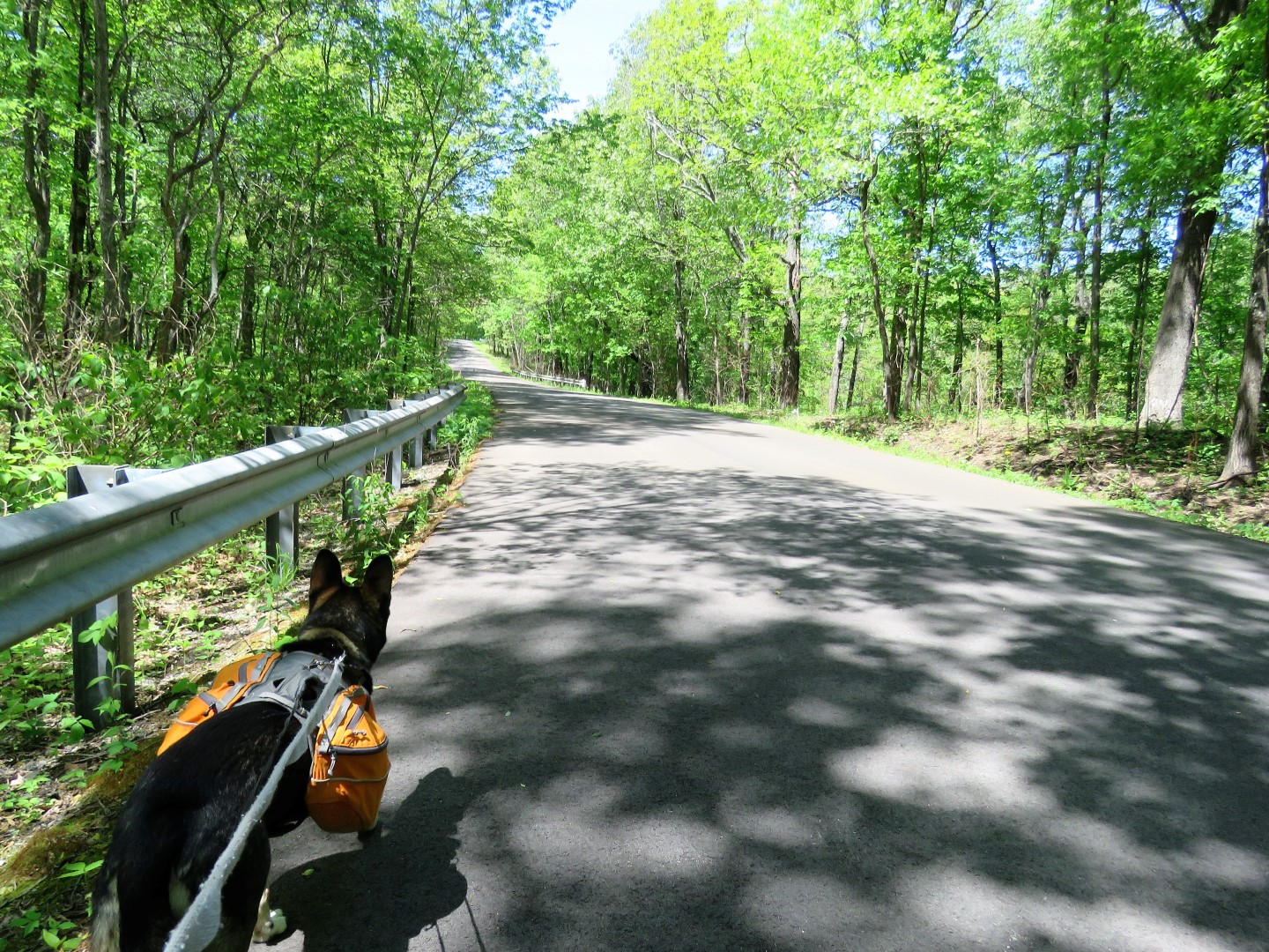 |
| ... continuing on Overlook Road back to ... |
 |
| ... Trail Head #2 where we parked. As I expected, the lot was now full and based on the comings and goings, it was all people doing the 1.5 miles to the overlook and back. Glad I started on this side when I had the overlook all to myself early in the morning. |
 |
| Before leaving I turned left on Overlook Drive and drove to the end to an overlook. |


 |
| I arrived just in time ... |
 |
| ... to see a bald eagle ... |
 |
| ... land in a tree over the Mississippi River. |
