ABOUT THE PARKS:
Herrontown Woods Arboretum - Princeton, NJ
Herrontown Woods - Friends of Herrontown Woods
Autumn Hill Reservation - Princeton, NJ
DIRECTIONS:
GPS Coordinates 40.376353, -74.640519
 |
| Herrontown Woods Parking |
TRAIL MAPS:
Herrontown Woods Map - Friends of Herrontown Woods
Autumn Hill Reservation - NJ Trails Association
HIKE DISTANCE: 4.8 miles
THE HIKE:
This hike links together Herrontown Woods, Autumn Hill Reservation and All Saints Preserve. It could have been somewhat longer but after over a week of rain, the trails were so wet and muddy that it did not make for as enjoyable of a hike as it could have been.
 |
| The red trail starts to the right of the kiosk. |
 |
| A short distance in, an unmarked trail splits to the right. I took the unmarked trail. |
 |
| That trail leads to the Veblen House. |
 |
| Continuing out on the Velben House drive ... |
 |
| ... we followed that to Herrontown Road and turned left heading to Autumn Hill Reservation. I had thought we would be road walking back to the trail on the left but that turned out not to be necessary. |
 |
| It's a short road walk to Autumn Hill. |
 |
| Leaves have only been out for a couple of weeks and these trails are already becoming overgrown at times even though the trail is well-defined. |
 |
| The boards were a nice thought. |
 |
| But on this day, it didn't much matter since most of the trail was a swamp. |
 |
| An old picnic table rotting and being overtaken by nature. |
 |
| Following an old stone wall. |
 |
| The sign points to an outlook. |
 |
| This would be it. If it weren't for the trees, we'd be looking at homes so apparently that outlook hasn't been for quite some time. |
 |
| Another outlook sign a little farther along. |
 |
| And this would be the view in the gas pipeline cut. |
 |
| Heading back. |
 |
| A really old junked car. |
 |
| There were so many birds around but between the camera lens constantly fogging up and the poor lighting, this was the only one I got. |
 |
| At least it was warm out. |
 |
| Heading back to the parking lot. |
 |
| It looked like there was a trail into Herrontown Woods directly across the street from Autumn Hill. |
 |
| Indeed, an unmarked trail leading right to ... |
 |
| ... the blue trail. |
 |
| Blue ends at red; we kept right. |
 |
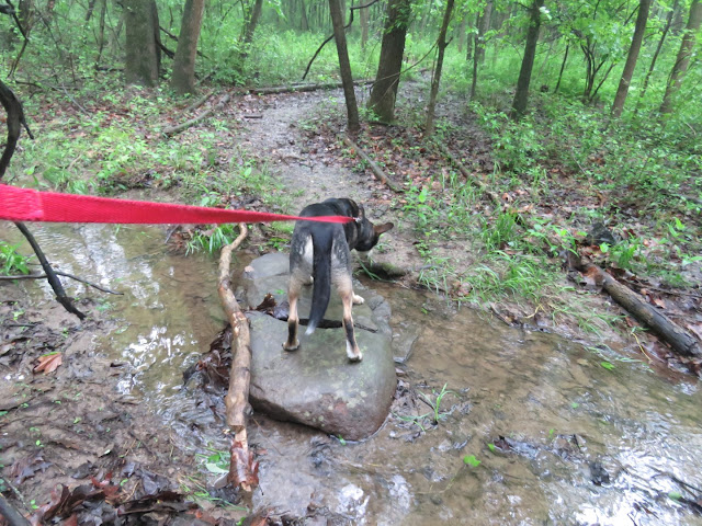
| I would have just waded across to get some of the mud out of my shoes but parts looked to be more than knee deep so the log crossing it was. |
 |
| No owner in sight. He eventually caught up to his dogs. Sigh. |
 |
| At the All Saints Trail map, right on the All Saints Trail. |
 |
| This part, if at all possible, was even soggier than what we had hiked so far. Just too much rain. |
 |
| At the woods road, turn left. |
 |
| Then left again to come up the other side of the All Saints Trail. |
 |
| Is that.... the sun?!?!?!? |
 |
| Coming back into Herrontown Woods, I stayed straight along the creek on white/green. |
 |
| Then white back to red ... |
 |
| ... to the parking lot. |


