

ABOUT THE PARK:
Sterling Forest State Park, NY - New York State Parks
Sterling Forest State Park, NY - New York State Parks
DIRECTIONS:
GPS Coordinates 41.22972, -74.18443
GPS Coordinates 41.22972, -74.18443
 |
| Tuxedo Park and Ride Lot |
THE HIKE:
 |
| The white-blazed Wildcat Mountain Trail starts at the far end of the park and ride lot as a woods road. |

 |
| After a short distance the trail leaves the woods road to the left as a footpath. |


 |
| After a stretch of level trail, the trail ascends. |


 |
| Views of Harriman State Park and the New York State Thruway below. |


 |
| After descending with a pond straight ahead, I wanted to turn left on orange but the blazes were confusing. |
 |
| I headed straight to the pond then when I turned around ... |
 |
| ... I saw the orange blazes now on my right that would take me around clockwise. |


 |
| Balloon #5 of the year. |


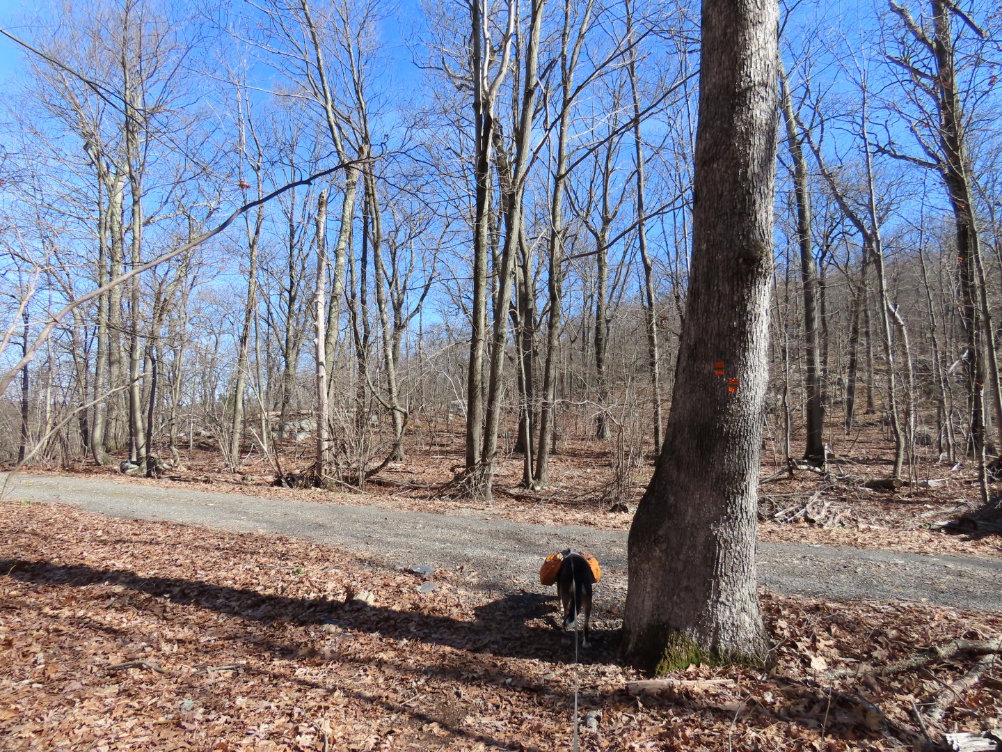 |
| The trail comes out on a gravel road that it will follow downhill all the way to it's end. |

 |
| At the end of orange, a few steps ahead ... |
 |
| ... right on green. |
 |
| This is a more pleasant grassy woods road. |


 |
| Coming out at Orange Turnpike ... |
 |
| ... the green trail ends and keeping right after the gate ... |
 |
| ... to a short walk down a residential street to the bend ... |
 |
| ... leads to a small gravel parking lot and the orange/white trail. |


 |
| Arriving at the pond with the confusing blazes from earlier, the blazes make more sense coming from this direction. We turned left to retrace on white. |


 |
| We only encountered two men heading up a mile from the parking lot but saw nobody else the entire hike. |
Hi Daniela, That looks like a great hike. I've never hiked this side of the park. Many years ago we did the Indian Hill side. The hike you were on has many views, which I like. Lots of places to stop, rest and take in the view. What is the large body of water in one of your pics? Is that the lake in Harriman. My Abby is still with me. She gets Librela injections for her osteoarthritis. She does well hiking, rocks not so much, so short hikes about 3 miles mostly level. This trail seemed to be rocky in spots. Thanks. Good day. Christine
ReplyDeleteNot really sure but I think from one of the viewpoints it's We-Wah Lake with Tuxedo Lake behind it and the other viewpoint might be Indian Kill Reservoir. Sterling Lake is farther away but not sure if that is part of the view or not. I am really bad at identifying things like that. This trail was rocky in spots and also very steep in places with lots up ups and downs. I had not heard of Librela - must be new since Shawnee was getting injections and I can't remember the name of those now. Glad to hear Abby is still doing well.
DeleteHi Daniela. The first part of hike would be too rocky for Abby. She does okay on a more flat/level trail. If an ascend/descend, I lift her with her harness. Maybe if I start on the P2 parking area off Hall Drive and just hike the Orange trail to the first overlook. Abby is okay hiking/walking 3 miles. Also lot P3 off Clinton Road and go up Orange to the overlooks. But the gravel road looks steep. Your photos and explanations are really good. The Second overlook that Brodie is on, overlooks the Indian Kill Reservoir. I was looking at the map. Great hike. I'll try a shorter version. Thanks.
ReplyDelete