

Clear Creek State Forest Kennerdell Tract - Pennsylvania DCNR
DIRECTIONS:
GPS Coordinates 41.26883, -79.87202
 |
| Parking in State Game Lands 39 |
TRAIL MAP:
Clear Creek State Forest Kennerdell Tract - Pennsylvania DCNR
HIKE DISTANCE: 11.2 miles
THE HIKE:
Day 1 of 2 of the semi-annual drive and hike trip from New Jersey to St. Louis, Missouri.
 |
| Facing the parking lot entrance, we started on the gated woods road to the right and would be returning from the gravel gated road on the left. |
 |
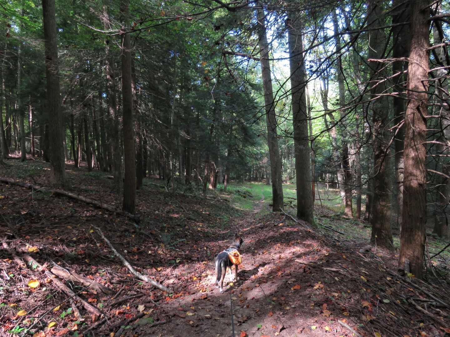
| The first part of the hike is through State Game Lands 39. |

 |
| You know you are in the state forest once signs and blazes are visible. |
 |
| There are only two colors of blazes - yellow is hiking only, red is hiking, biking and horseback riding. Trail names are on intersection signs. |

 |
| First we headed to the overlook. |


 |
| Views of the Allegheny River from Dennison Point Overlook. |


 |
| We would be crossing three swinging bridges. |
 |
| Following along Dennison Run. |


 |
| At two regular footbridges and just before the forth swinging bridge, right on the Goat Trail. |

 |
| The trail ascends steeply... |
 |
| ... to the Ridge Trail which is relatively flat along the ridge. |

 |
| The dark-eyed juncos are arriving from Canada for the winter. |


 |
| Crossing a pipeline. |

 |
| Descending on the Ridge Trail all the way down to ... |
 |
| ... right on the River Trail. |
 |
| On the left directly across from this spring on the right ... |
 |
| ... the primitive camping area where we used a picnic table for a break along the river. |
 |
| Continuing on the River Trail. |

 |
| Beyond the gate ... |
 |
| ... is a parking lot then a grate bridge. |
 |
| Coming up on the Kennerdell Bridge ... |
 |
| ... is another parking lot. We turned left on the bridge a short distance ... |
 |
| ... for some better views of the Allegheny River. |
 |
| Now it's a short road walk on Kennerdell Road to ... |
 |
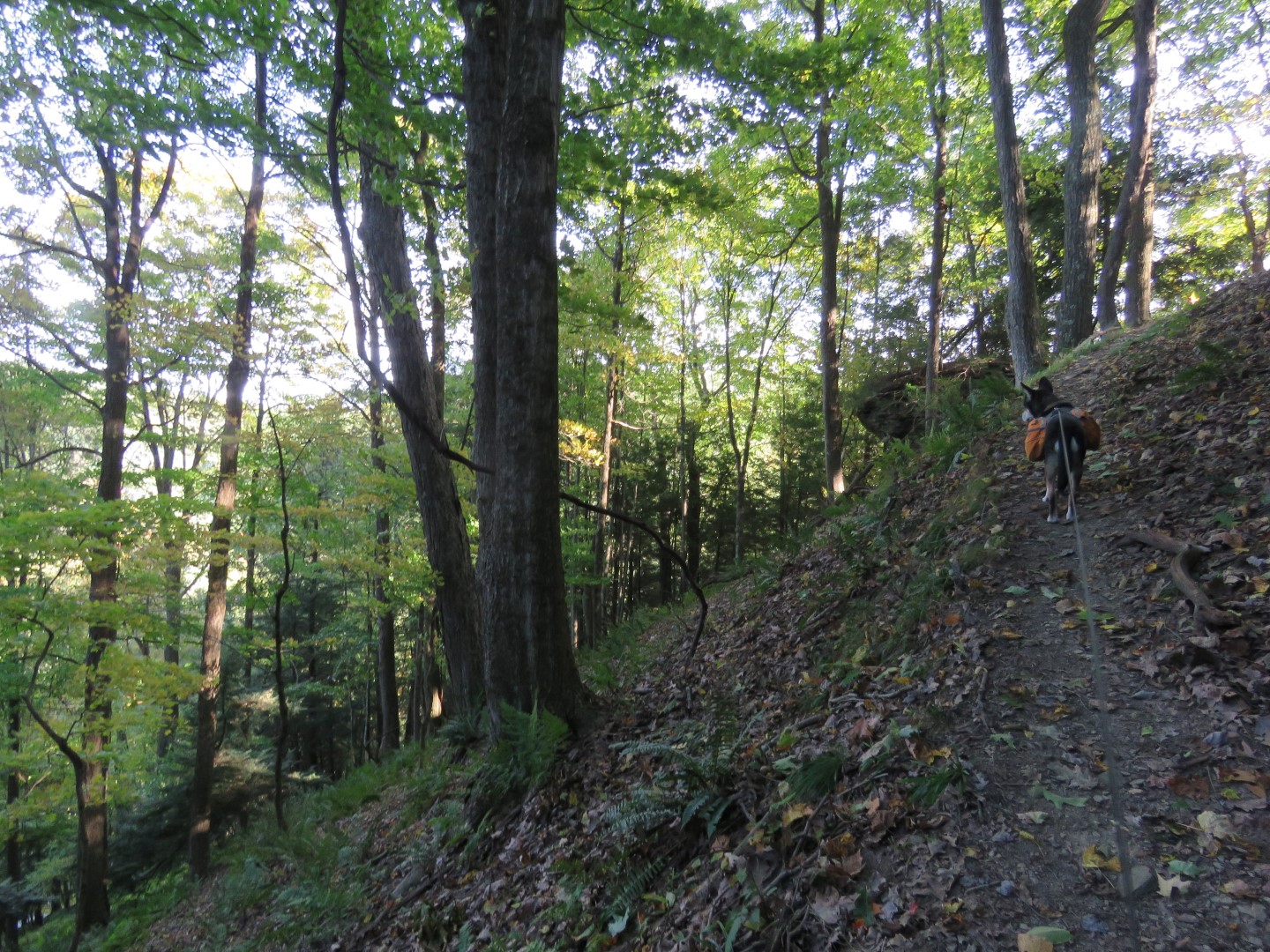
| ... the Kennerdell Trail on the right. |
 |
| This climbs steeply all the way up. |

 |
| The sign looked to be old and was too faded to read so I did not know what the relocation was but the trail continued to be easy to follow so the sign probably no longer mattered. |
 |
| Now up on the ridge passing large boulders. |
 |
| Just after the boulders we encountered two other hikers heading our way who warned us of a hornet next up ahead. One hiker had been stunk on the cheek when he walked into a hornet flying near the nest. |
 |
| I saw it as we approached the intersection with the South Trail and waited until nothing was flying around before carefully passing unscathed. Those were the only hikers we had encountered after the overlook and it was a good thing otherwise I would probably not have seen the hive. |
 |
| Turning left on the South Trail. |


 |
| Coming out on the state game lands road and turning right. |

 |
| This leads to the gate ... |
 |
| ... and the parking lot. |
 |
| Hunkered down in the motel in Toledo, Ohio and resting up for day two of the trip. |