

ABOUT THE PARK:
Rock Bridge Memorial State Park - Missouri Department of Natural Resources
DIRECTIONS:
GPS Coordinates 38.87323, -92.32572
 |
| Devil's Icebox Parking Lot |
TRAIL MAP:
Missouri State Parks posts trail maps by trail online, not the entire park. Below are photos of the entire map I picked up at the park office.


For this hike we used the Deer Run Trail, Devil's Icebox Trail, Grassland Trail, Sinkhole Trail and Spring Brook Trail.
HIKE DISTANCE: 9.9 miles
THE HIKE:
 |
| I got this picture from the parking lot as we were starting and it turned out to be an unusual find. This is a Eurasian Tree Sparrow. It is a rare bird in that they are only in the St. Louis area and I was two hours west of St. Louis. Settlers released 12 of them in St. Louis in April 1870 so this is a descendant of those first birds. |
 |
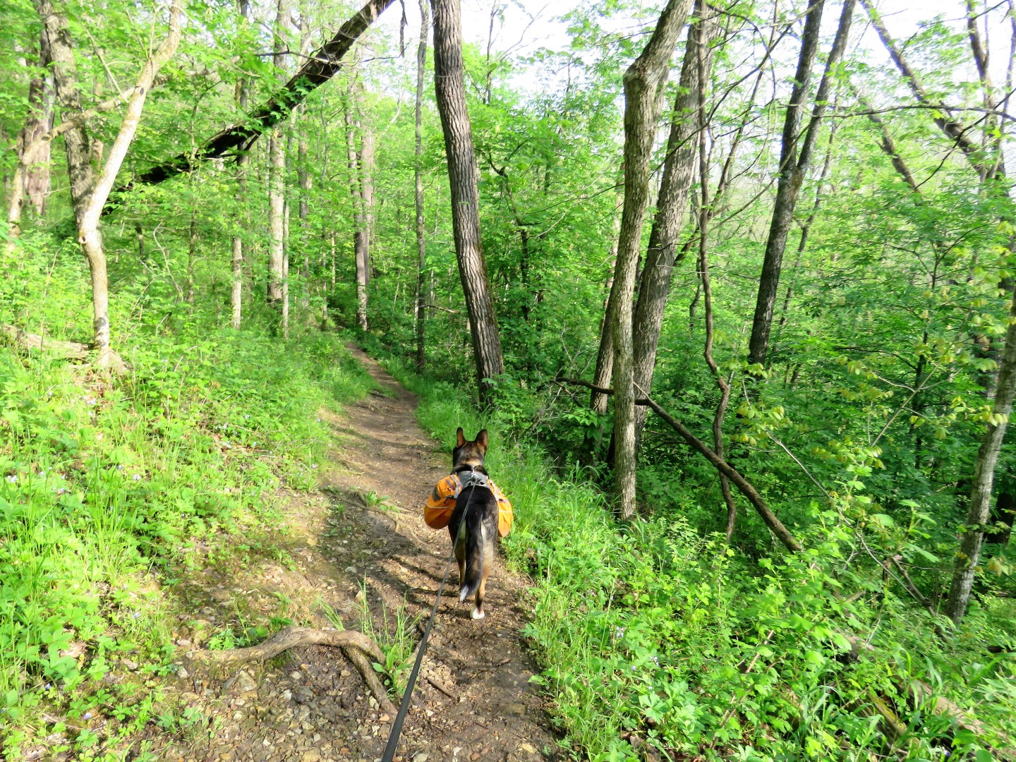
| Starting out early at the main attraction, Devil's Icebox. This is hugely popular but at 7:30 AM on a weekday we had the entire Devil's Icebox Trail to ourselves. |


 |
| The entire trail is a series of steps and boardwalks. |


 |
| Looking down into Devil's Icebox where a creek flows under the rocks. |
 |
| Heading down into Devil's Icebox. |
 |
| The water flowing under the rocks that we had seen from up above previously. |

 |
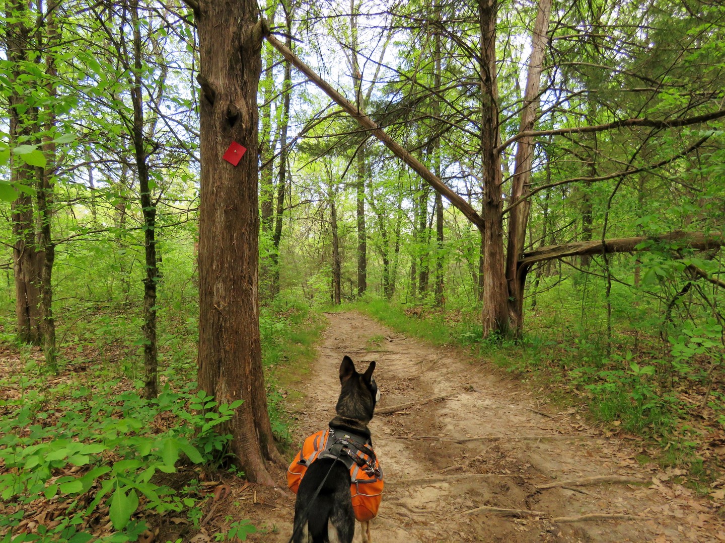
| Heading over to the Sinkhole Trail. |
 |
| Indigo Buntings were abundant here. |
 |
| Wood Thrush |
 |
| There were interesting signs along the way describing historical sights. |


 |
| Ingrum Spring |


 |
| I was not close, I zoomed in for the picture. But based on the well trodden trail others have not heeded the sign. |

 |
| Crossing a gravel road over to ... |
 |
| ... the Grassland Trail. |

 |
| A trip to the Midwest is never complete until I see a red headed woodpecker. I usually do see one almost every time I am here. I have only seen one in New Jersey in the 27 years I have lived there. |


 |
| Either a Cooper's or Sharp-Shinned Hawk. |
 |
| We took a spur trail off of the Grassland Trail then turned left on the gravel road ... |
 |
| ... right at the end ... |
 |
| ... then right back into the park on the ... |
 |
| ... red-blazed Spring Brook Trail. |
 |
| Female Summer Tanager |

 |
| At Little Bonne Femme Creek ... |
 |
| ... we waded across. That water was COLD! |


 |
| Female Cardinal |
 |
| Blue-eyed Mary (and I only know this because at the end of the hike there was a sign) |

 |
| Yellow-blazed Deer Run Trail |


 |
| His obsession with turtles is out of control. It was all I could do to drag him away. His lips never touched that turtle. |


 |
| I made a wrong turn here and had to head back. |
 |
| I had seen this sign when I made that turn but it did not make sense at the time. Now heading back it made perfect sense. |
 |
| Now we are back on track taking the Spring Brook Trail back to the parking lot. |


 |
| This sign was facing the opposite direction so I got to see the signs describing plants. |


 |
| And this is how I found out I had seen Blue-eyed Mary earlier. |
 |
| Back at the parking lot. |