

Kings Gap Environmental Education Center - PA Department of Conservation and Natural Resources
DIRECTIONS:
GPS Coordinates 40.10610, -77.28091
 |
| Pine Plantation Parking |
TRAIL MAP:
Kings Gap Environmental Education Center - PA Department of Conservation and Natural Resources
HIKE DISTANCE: 9.7 miles
THE HIKE:
This is hike 1 of 2 of the semi-annual two-day drive-n-hike from New Jersey to Missouri.
 |
| Starting the hike in the Pine Plantation Area. |


 |
| We would be returning form the left on the Ridge Overlook Trail but for now, downhill to the right. |


 |
| Right on Kings Gap Hollow ... |

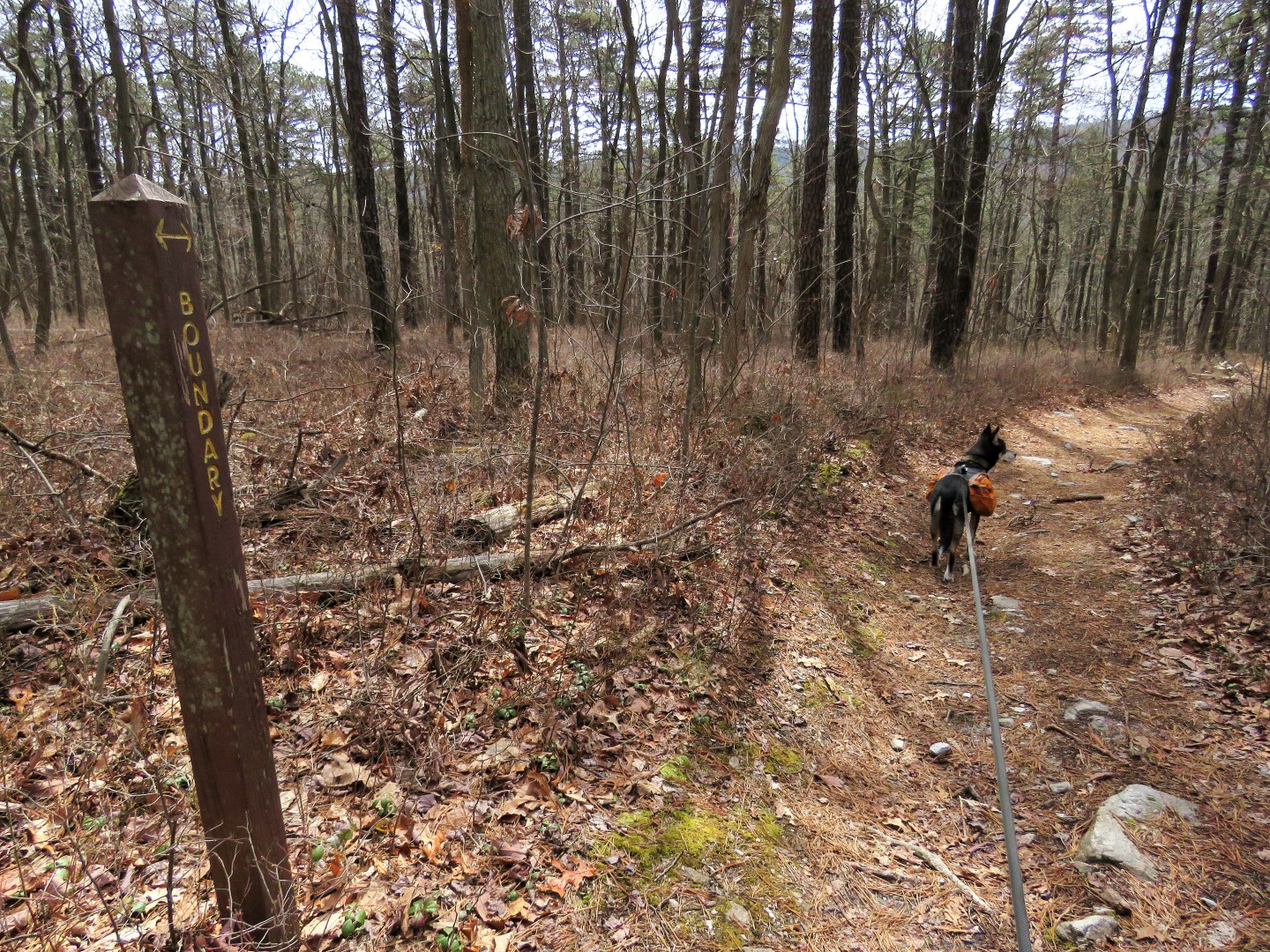
 |
| ... through a parking lot to the Boundary Trail. |

 |
| Left on Locust Point Trail. |


 |
| The Locust Point Overlook which is no more, not even with the leaves down. |
 |
| The Locust Point Trail loops around and joins back with the Boundary Trail. |


 |
| Left on the Watershed Trail. |


 |
| Through a parking lot to the left of the picnic pavilion on the left. |
 |
| On the Scenic Vista Trail. |


 |
| The vista is mostly obstructed by a mountain straight ahead but off to the right of that mountain is a view. |


 |
| Coming out at the mansion. |

 |
| Around to the back of the mansion for some views. |


 |
| Heading back towards the Rock Scree Trail. |


 |
| Taking the Forest Heritage Trail first. |


 |
| Then at the intersection with the Rock Scree Trail, a right ... |
 |
| ... on the Ridge Overlook Trail which was my favorite trail of the hike. |


 |
| The best views are from this trail. |


 |
| Now back on the Rock Scree Trail where we turned right to retrace back to the car. |

 |
| Spring sprouts. |


 |
| Hunkering down for the 4 1/2 hour drive to overnight in Parkersburg, WV which would put us an hour away from the next day's hike in southern OH. |
 |
| But first a stop in Friendsville, MD, the last exit before WV, for the cheapest gas I have seen so far. |