ABOUT THE PARK:
Lake Ames - Rockaway Township
Contrary to what the above link states, there is no trail around the lake. There are two short disconnected sections of trail along the lake.
DIRECTIONS:
GPS Coordinates 40.951297, -74.500404
 |
| Parking at Lake Ames. There would be more parking to the right of the orange cones but at this time there were piles of gravel and heavy equipment. |
TRAIL MAP:
The only place I have seen these trails is on the
Trailforks app.
powered by Trailforks.com
HIKE DISTANCE: 8 miles
THE HIKE:
 |
| Starting off at 6:20 AM to beat the heat again, first in search of the trail that is supposed to go around the lake. I did not think there would be such a trail as there was nothing to the right and the far side of the lake is very busy Green Pond Road. |
 |
| To the left, a trail! |
 |
| Lake Ames |
 |
| There is indeed a trail along the lake. |
 |
| But shortly after this wall of boulders ... |
 |
| ... the trail fizzles out. |
 |
| We worked our way over to Snake Den Road, turned right and crossed this bridge ... |
 |
| ... then turned right on the dirt trail. These trails are named on the Trailforks app but there are no signs with names and generally the trails are not blazed. You really need the app to find your way around, especially since there are trails not on the app. |
 |
| Do you see it way over there? |
 |
| It's balloon #42 of the year. |
 |
| That is most likely Picatinny Arsenal property on the left. |
 |
| I found a Kleen Kanteen on the side of the trail and put it in a more visible spot. Surely this fell off of a bike - they are not cheap. Hopefully the owner will come by again and see it. |
 |
| A mine with piles of mine tailings. |
 |
| We should have turned right before this chain link fence but did not. |
 |
| Where mountain bike trails are always clean, there were beer cans, litter, dirt bike tracks... This didn't look right so I checked the app. |
 |
| Oops. Went too far. |
 |
| Back to that chain link fence and back on track. |
 |
| We ended up on a marked trail - a trail marked with red shotgun shells. |
 |
| Oh my, what is this? |
 |
| Yikes. |
 |
| There all all kinds of old buildings covered with graffiti inside that fence. |
 |
| The trail comes out into the power cut. We weren't actually on the trail I wanted to be on but it was just the other side of hte power cut ... |
 |
| ... through a section of overgrowth. |
 |
| Now on the right trail, called the Hibernia Overlook Trail. |
 |
| The overlook, however, wasn't much so we headed back trying to follow the Hibernia Overlook Trail the right way. |
 |
| There are always things in power cuts that you don't see other places. |
 |
| Back into the woods right at that fence again and the trail went INTO the opening in the fence. |
 |
| It was really creepy in there so I checked the app ... |
 |
| ... and no, the trail was supposed to be on the other side of the fence so back we went. |
 |
| This would be a Yellow Woolybear Moth which becomes a Virginian Tiger Moth (inset from iNaturalist). |
 |
| This hole was much deeper than it looks in the picture. |
 |
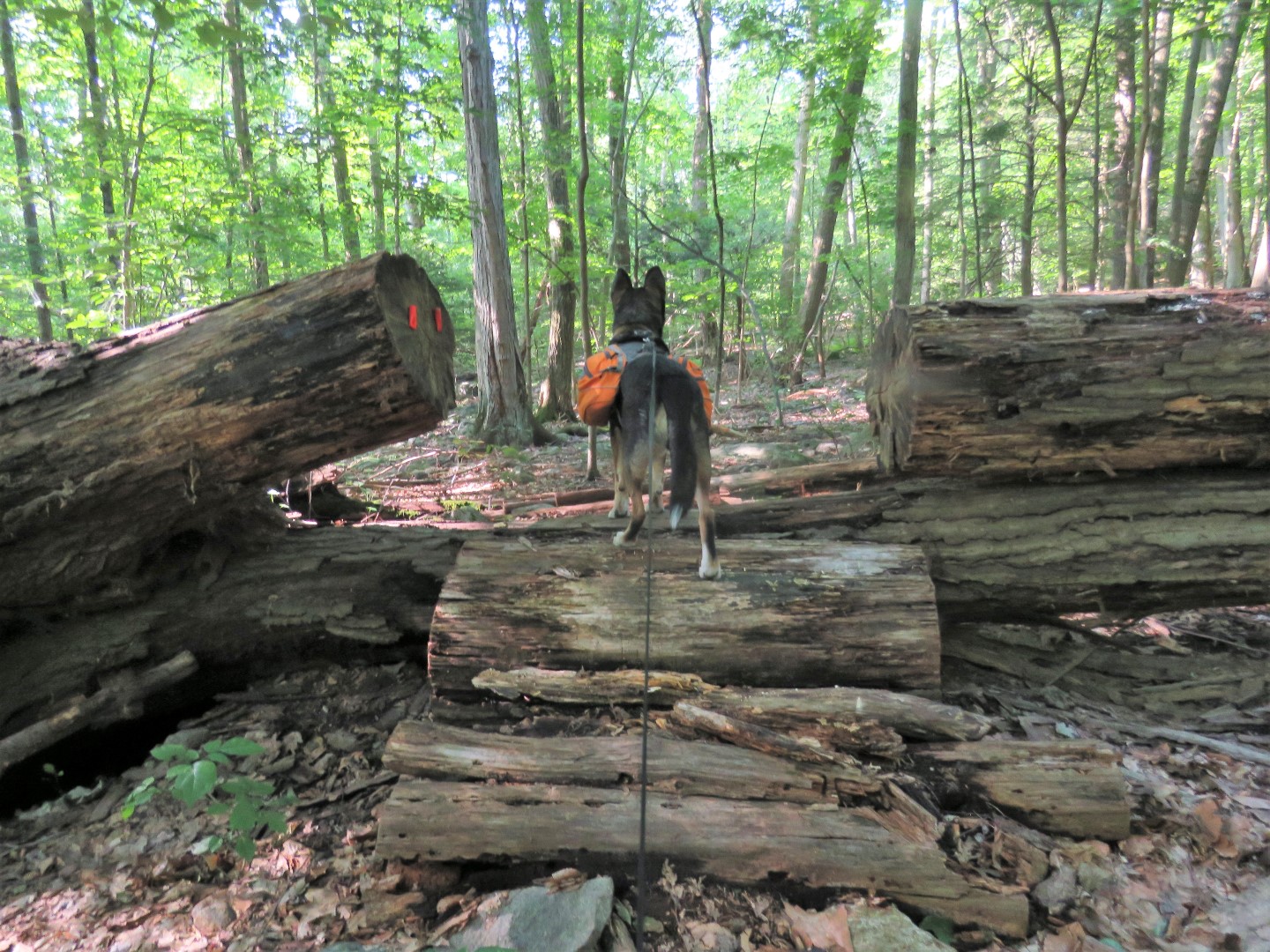
| No wonder I missed this trail earlier, it's not very well defined. |
 |
| We made our way back to the shotgun shell trail. This trail leads all the way down to Hibernia Pond. |
 |
| Coming up on ... |
 |
| Hibernia Pond |
 |
| Now sad. The dates are 1999 - 2009. |
 |
| Heading back up on the shotgun shell trail. |
 |
| From there we turned left on the Low Line Trail which is not used much as it was sometimes hard to follow. |
 |
| A trail not on the app that has a name sign. We'll take it. |
 |
| It led us to where we wanted to be, the Telemark Brook Trail, which turns out to have some red blazes. |
 |
| Following along Telemark Brook. |
 |
| Coming up on ... |
 |
| ...Lake Ames. This would be a second short segment of trail along Lake Ames but it's a trail not on the app. |
 |
| After meeting back up with the trail we started on from Snake Den Road, we turned left on the road. |
 |
| We worked our way back over to the first section of trail along Lake Ames heading back to the parking lot. |