ABOUT THE PARK:
Note that the sign above is not at the trailhead. It's in the middle of the woods by the railroad tracks. Unable to find a web site for this park or any online information.
DIRECTIONS:
GPS Coordinates 40.583905, -74.384046
 |
| Parking along the cul-de-sac at the end of Petti Lane. Picture taken from the trailhead. |
TRAIL MAP:
Nothing online other than some trails on the
Trailforks app and some trails on the
Gaia app which is what I used to find my way around.
 |
| Map in the kiosk which does not show all of the trails. Blue, red and white are blazed trails but there is also an orange trail south of what is on the map along with various unmarked trails. |
HIKE DISTANCE: 5 miles
THE HIKE:
Instead of my Saturday morning workout class, I opted for social distancing by checking out a preserve only 15 minutes from my house. It was hard to find any information on this place other than the possibility of some trails so I set out in sneakers not expecting to be there long or to find much. Surprisingly it turned out to be an actual hike of 5 miles through woods, swamps, water crossings... Wearing sneakers was not such a good idea. This turned out to be much more than I expected.
 |
| From parking on the cul-de-sac on Petti Lane, at the end of Petti Lane the drive on the left marked private goes to Petti Farm. The trail is between that drive and the yard on the right where the mailbox is a bear (missed that in the pic). There is a green acres sign off to the left. |
 |
| A short distance in is a kiosk but it cannot be seen from the trailhead. |
 |
| I basically headed to the right keeping around the perimeter. |
 |
| The orange trail that is not on the kiosk map. |
 |
| Middlesex County water tanks. |
 |
| A wood duck couple in a pond. |
 |
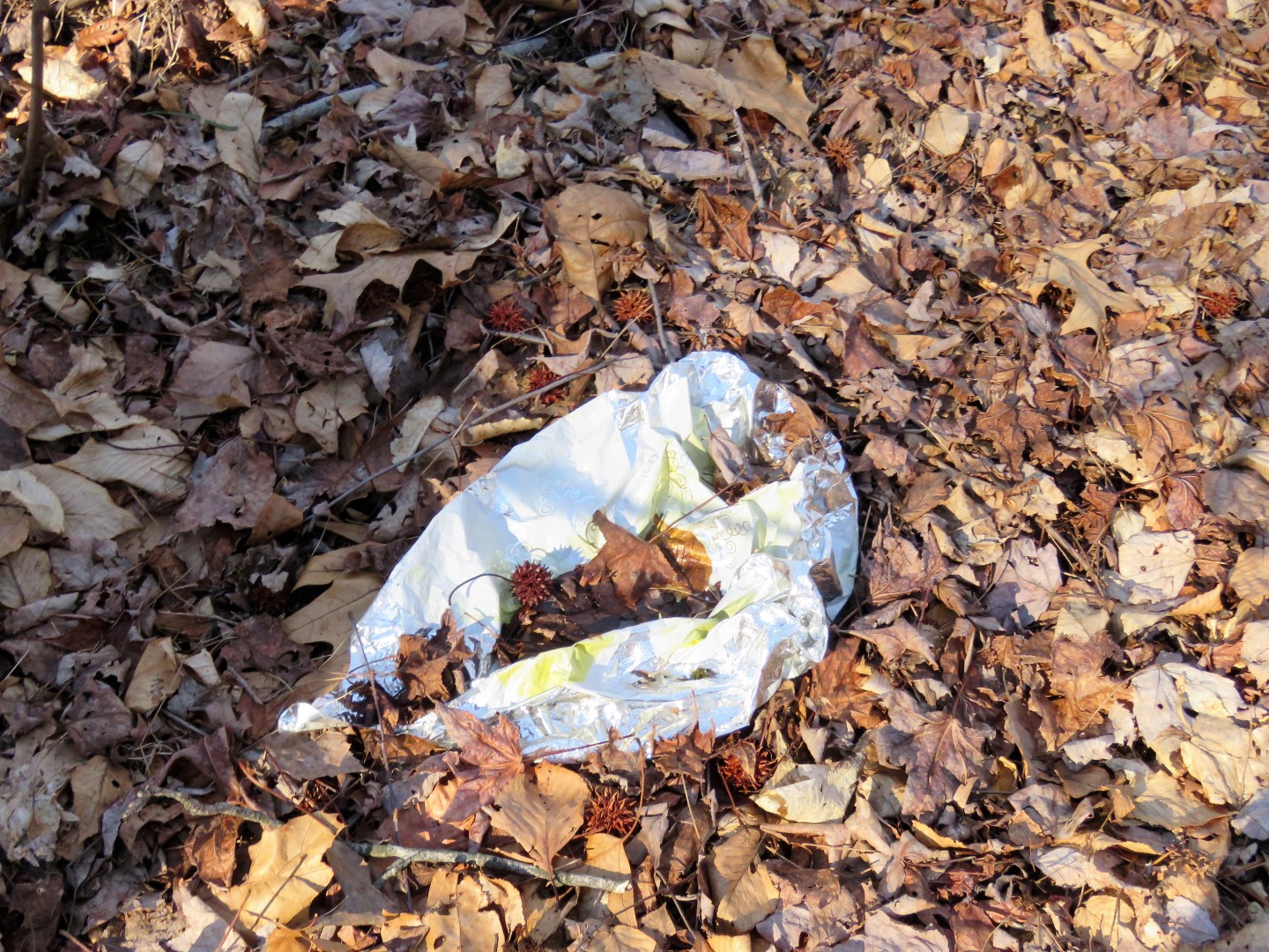
| Balloon #16 of the year. |
 |
| The orange trail comes out at the railroad tracks where we turned left. |
 |
| No way to cross here. I could see blue blazes to the left in the woods but there was a swamp in between so had to go back. |
 |
| This is why picking up balloons is my mission. See the red one in the left corner with the loooooong and dangerous ribbon? That is in the place these ducks call home and I couldn't get to it to make their home safer for them. At least I got a few others. |
 |
| Now on that blue trail I had seen through the trees across the swamp from the railroad tracks. |
 |
| Then on red, keeping right as I encounter other trails. |
 |
| Red follows a creek for a bit ... |
 |
| ... and joins in with white which had come in from the other side of the creek by that bird house. |
 |
| Balloon #17. |
 |
| I noted this bridge as red continued on this side of the creek but when red crossed over with no way of crossing, I backtracked to this bridge ... |
 |
| ... crossed over and went along the right side of the creek to meet up with where red crossed over. |
 |
| On this side of the creek red is pretty much not a trail, just blazes so we followed from blaze to blaze. |
 |
| We did meet up with white and kept right on white even though there is a left turn blaze. |
 |
| White does go right ... |
 |
| ... through the woods with those railroad tracks on the left. |
 |
| I followed white until the creek crossing at that birdhouse where we were on red on the other side previously ... |
 |
| ... then turned around and retraced along the railroad tracks. |
 |
| Keeping straight after passing where we had come in from the left earlier I saw the Edith Stevens Memorial Wildlife Preserve sigh in the middle of nowhere. |
 |
| Keeping straight past that sign then veering right uphill brought us up high on a berm between a woods road and the railroad tracks. This trail is called "Edith's Spine" on the Trailforks app. Clever names those mountain bikers come up with. |
 |
| This is pretty much the end of Edith's Spine. |
 |
| Turning around to retrace, there is a white blaze on the blowdown and also on a tree up ahead so where there were no other blazes, this appears to still be the white trail. |
 |
| Heading back on the woods road with Edith's Spine to the left. |
 |
| Balloon #18. There are some really trashy spots in these woods but at least there are now 3 fewer balloons. |
 |
| Needing to cross that creek again to stay on white. |
 |
| To the right I found a way to cross. |
 |
| Then a swampy area with no good way to get through without ... |
 |
| Well, I am surprised it took this long. This is why sneakers was a very bad idea. |
 |
| We left white on an unmarked trail to the right which goes uphill to the fence at Plainfield Country Club. |
 |
| Heading back down the hill to rejoin the white trail. |
 |
| A rock hop crossing! Not that it mattered any more other than that water was darned cold. |
 |
| Right on red to keep with the perimeter. |
 |
| Passing another kiosk and trailhead at the cul-de-sac at the end of Hayduk Drive. |
 |
| Red comes out behind Petti Farm where there are no blazes because I think the trees with the blazes might have been cut down for whatever clearing is going on here. |
 |
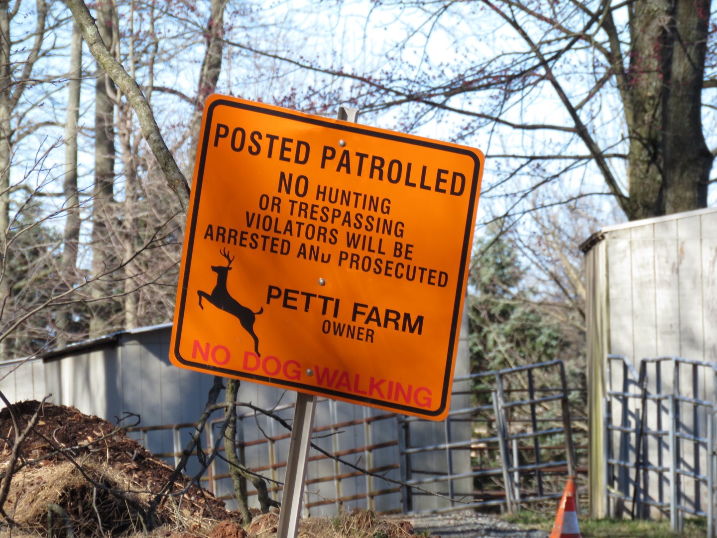
| It wasn't clear how to regain the trail so I had to use the app to get back. Once back in the woods ... |
 |
| ... I realized we had just missed trespassing. |
 |
| There were tons of woodpeckers, hawks and birds in these woods but this dark-eyed Junco, presumably heading north to Canada soon, is the only one who posed. |
 |
| Coming back up on the Petti Lane trailhead where I parked. |