Wednesday, November 25, 2020

Hiking Furlough

We are hanging up our backpacks for a bit.  Sad does not even begin to describe how I feel about that.

For a few years now I have had intermittent hip pain which Advil or Aleve usually helped with.  But early this summer the pain was more frequent, then every single day, rapidly becoming worse.  Hiking had become very difficult and painful, only possible recently with prescription NSAIDs and heavy reliance on trekking poles.  X-rays showed severe osteoarthritis in my right hip.  Total hip replacement surgery will be the cure.

For any hiker facing this surgery, I highly recommend this book.  You can see why the cover caught my eye.  If I had any doubts about the surgeon telling me I would still be able to hike after surgery, this book put all that to rest.

 
Join me in 2021 when I will work my way back up to hiking.  I am already compiling a file of easy, short, flat hikes to get me started as soon as I get the green light.

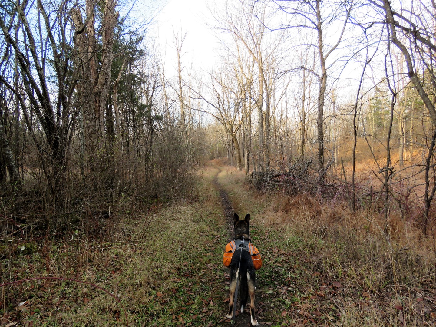
Since we are wrapping up the year a bit early, here is our annual slideshow of all of our hikes this year.

UPDATE:  Surgery is done and I am back home.  They said everything went well and that all the hiking I have done is going to be a huge bonus in recovery.  Thank you all so much for your well wishes!
 
UPDATE 12/21:  Starting to ride a stationary bike for 5 minutes a day and walking 1 mile a day with a cane.  A local park plows the 1-mile loop around a pond which is perfect when there is snow on the ground but it has now forced me to update my annual balloon total for an unanticipated addition, balloon #65 of 2020.


Saturday, November 21, 2020

Highland Lakes State Park, NY - South

ABOUT THE PARK: 
Highland Lakes State Park - New York State Parks 
Highland Lakes State Park - Palisades Park Conservancy 
This park is a good option for weekend hiking during hunting season as hunting is only allowed on weekdays.

DIRECTIONS: 
GPS Coordinates 41.48749, -74.31465
Although this is not shown as parking on the map (Trailforks does show this as parking), there is parking here for about 5 cars as long as the gate is not blocked.

TRAIL MAP: 
Highland Lakes State Park Map - New York State Parks (does not show all trails) 
Highland Lakes State Park - Trailforks (shows more trails but not all)

Powered by Wikiloc

HIKE DISTANCE:  9.5 miles

THE HIKE: 
No map shows all of the trails and some trails shown on the map are not used much and are not as clear as others.  I ran the Gaia and Trailforks apps during this hike and relied on them heavily to navigate around.  Many trails are unmarked and heavy leaf cover with limited usage makes them hard to see.  This is a more remote area of the park and I only encountered two men on horseback and one mountain biker the entire time.  I had hiked the northern side of this park almost a year ago to the day.
Starting at the gate in the parking area on what is a continuation of Camp Orange Road.
Camp Orange Road through the park.
Teal blazes of the Long Path which still exist (rerouted out of this park in 2013) join in briefly from the right ...
... then leave to the left.  We would be returning on this trail from the left.  For now, straight on Camp Orange Road.
It's the weekend.  They don't have to run for their lives :(.
Leaving Camp Orange Road to the left on a trail that appears to be named ...
... "YYZ" but names aren't necessarily on the map or apps.  The apps shows this as a loop that returns to Camp Orange Road.  It is not on the park map.
This trail is blazed in red.
It loops around back to Camp Orange Road where we turned left.
White-breasted Nuthatch
A side trail leads down to creek level then back up to Camp Orange Road.
Passing a small pond on the left just before ...
... a right turn to Highland Lake.
I arrived just in time to see a great blue heron land on the other side.
I had hoped to get to the other side of the outlet but it was not passable so back to Camp Orange Road.
After crossing a small bridge over the outlet, Camp Orange Road becomes more obscure as it seems nobody goes this way.
We doubled back on a trail parallel to Camp Orange Road were we had just come up (the lower trail on the right).
This trail got us over to the other side of Highland Lake.
There was so much bird activity here that I sat to take a break and just started snapping pictures of all of these birds.
American Tree Sparrow
White-throated Sparrow
Dark-eyed Junco
Purple Finches
American Cardinal
We then worked our way along the southern end of the pond on an earthen dam with lots of recent beaver activity.
Looking back at where we had been earlier where we had not been able to cross.
We backtracked across the dam to continue on.
There are trail on the western side of the pond that are not on the map or apps.  We worked our way around to head south continuing our loop.
Sometimes the path becomes narrow and overgrown but there is evidence of horse usage.
Some ruins along the way.
The trail eventually starts to open up again.
Tufted Titmouse
American Cardinal
This section of trail is very clear so must be more heavily used (although we encounteredd nobody on it) and it is blazed red/white/yellow as shown on the park map.
It appears that right exits the park, we stayed on red.
Turning left on a footpath (not shown on the map) as straight would leave the park.
Here is where the trail became particularly difficult to follow with no blazes and heavy leaf drop.  Brodie did a fine job of staying with the trail but when it would start to feel mushy underfoot, a sure sign of being off trail, I'd refer to the app to get us back on track.
The two horses and riders that passed us.
Oops.  A difficult creek crossing I wasn't expecting.
To the left, a bit upstream, there is a rope tied across but I found that to be totally useless.
I hadn't used these in a long time but I did have my plastic boot covers in my backpack and this was an occasion for using them to cross. 
The water was a bit more shallow downstream so we crossed there.
Continuing on the other side.
Here are the old blazes of the former route of the Long Path that join in from the right.  Now there would be teal blazes to follow all the way back to Camp Orange Road.
A right on Camp Orange Road ...
... then continuing straight on Camp Orange Road when teal leaves to the left.
Balloon #64 of the year.
Back at the parking area.