

ABOUT THE PARK:
Abbott Marshlands - Friends for the Abbott Marshlands
Although this separate section of the towpath is part of the Delaware and Raritan Canal State Park, it is not mentioned on their site.
DIRECTIONS:
GPS Coordinates 40.15635, -74.71839
 |
| Scenic overlook parking on I-295 southbound. |
TRAIL MAP:
Abbott Marshlands: Delaware and Raritan Canal State Park Towpath - NJ Trails Association
Powered by Wikiloc
HIKE DISTANCE: 8.65 miles
THE HIKE:
This was our first family hike with granddaughter Ellie who just turned 3 months old.


 |
| Scenic overlook of the Delaware River. |


 |
| To get to the trail on the other side of I-295 there are steps and a ramp. |


 |
| Descending on the other side of the interstate. What could my son be pointing to down there? |
 |
| It would be balloon #44 of the year. |
 |
| On the trail. At the fork we went right - left would be the return route. |
 |
| Crossing the bridge to do the southern part first. |
 |
| Delaware & Raritan Canal |
 |
| There were tons of red-winged blackbirds everywhere - males, females and juveniles. |

 |
| Granddaughter Ellie loves looking at trees. We think she has the hiking gene. |

 |
| The loooooooong bridge over Crosswicks Creek. |

 |
| The southern end of this section ends at the Bordentown Yacht Club. |
 |
| Although this entire trail runs right along railroad tracks, maybe half a dozen of these short, very quiet trains passed. |
 |
| Heading back. |

 |
| After the short bridge, we turned right to follow along the canal with the railroad tracks on the other side of the canal. |

 |
| Marshlands in the distance. Shawnee and I hiked the trails on that side in 2014 - Bordentown Bluffs and Roebling Memorial Park |


 |
| The trail becomes more woods roadish as it follows a petroleum pipeline. |
 |
| Marshes on the left although hard to see with foliage. |
 |
| Way up ahead yet more red-winged blackbirds. |
 |
| Ellie wants to ride for a bit. That is Shawnee's stroller that the car seat (and our stuff) fits into very nicely. |
 |
| Balloon #45 of the year. |
 |
| Going under I-295. |


 |
| The stroller also makes a nice changing table. |
 |
| Another train passing on the other side of the canal. |
 |
| A memorial off of the trail. |

 |
| The trail ends at Canal Boulevard but we went left to the intersection then left on Lamberton Road to see if there was a river view. |
 |
| There was not but to the right is parking for the northern end of the trail. |
 |
| Heading back along Canal Boulevard. |
 |
| It's not far at all from that parking spot to the trail. |


 |
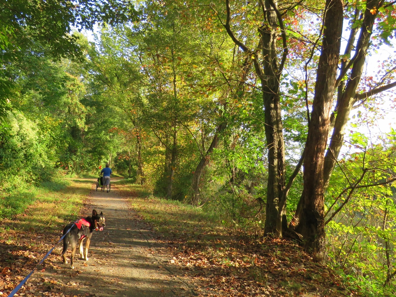
| When we get separated from the others... |
 |
| ... Brodie likes to wait until we are all together again. |
 |
| A snake shed its skin. |


 |
| Part of the return hike, mostly through the power cut and petroleum pipeline cut, was now in full sunlight and the temps would reach 85 degrees. It was hot! |


 |
| Black rat snake. |


 |
| The ducks were having a blast splashing in the canal. |

 |
| Here we turn right to get back to the scenic overlook parking. |


 |
| Taking the stairs this time. |

 |
| Heading home. |