This hike incorporates named, but unmarked (some actually are still marked) and unmaintained trails connected mostly by the Red Cross Trail. In the winter Lake Welsh Drive and Tiorati Brook Road are closed to traffic so without accessible parking lots, there won't be many people on the trails near these roads. I encountered nobody at all until the very last mile of the hike.
Facing Lake Skannatati, left towards the kiosk.
Lake Skannatati at sunrise.
This is the route of the Long Path which we followed for a very short distance ...
... across the bridge on Seven Lakes Drive ...
... then left at the barrier.
A few steps in, the Long Path leaves to the right; we continued straight on unmarked.
This follows along Lake Askoti ...
... to a power cut behind Lake Askoti.
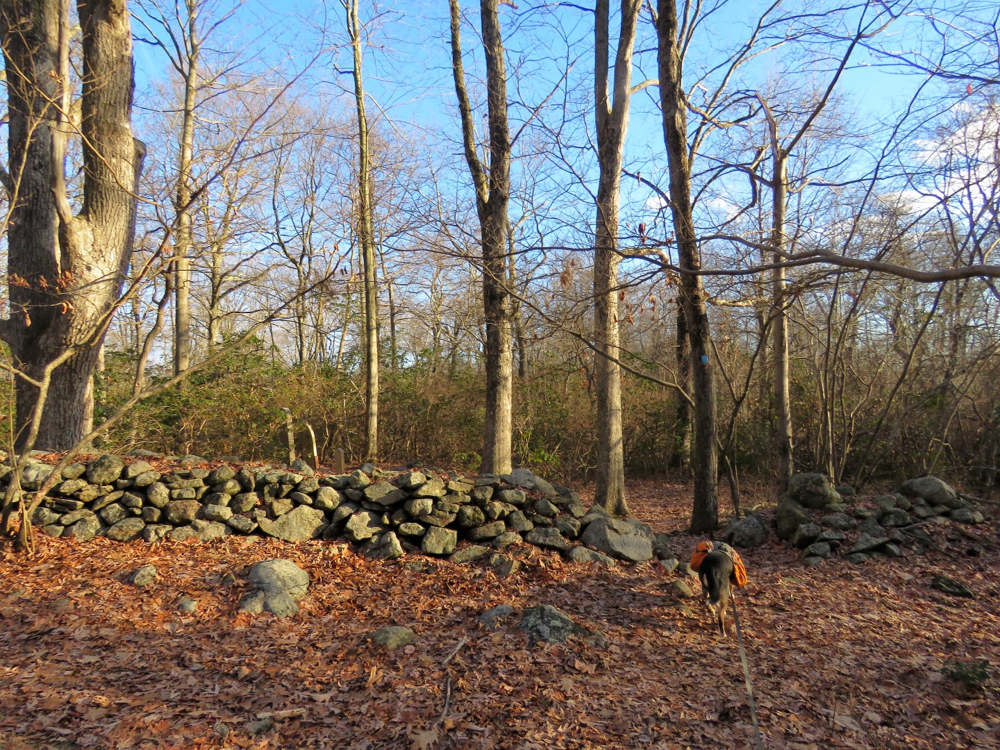
At this pile of rocks where the power cut path veers left, right on unmarked.
Then right at a cairn (Brodie is going the wrong way).
Turns out that this unmaintained path with a name on the map, Rockhouse Mountain Trail, ...
... has red markers and blazes.
At the T-intersection, left on the blue-blazed Beech Trail.
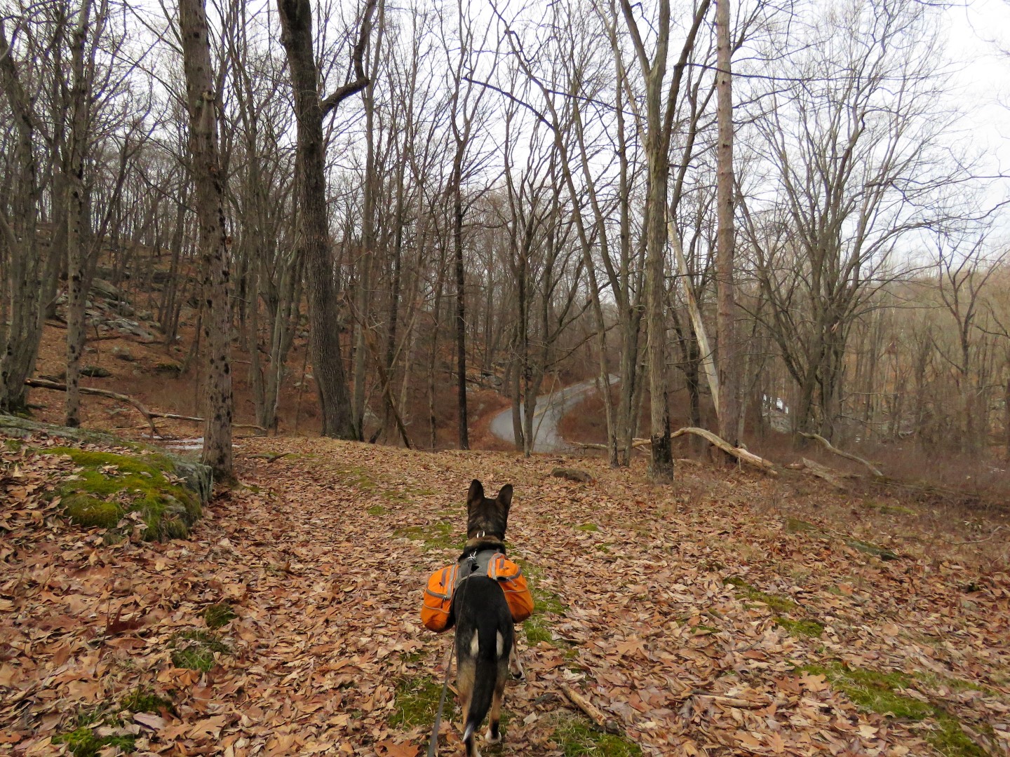
... the trail turns right on Tiorati Brook Road, closed to traffic in the winter.
The blue trail enters the woods to the left after the bridge.
We continued on Tiorati Brook Road a bit to ...
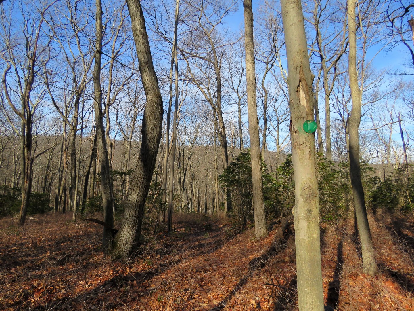
... the barrier on the left with a green arrow in the road which is the unmaintained Flaggy Meadow Mountain Trail.
It is mostly a pretty well-defined trail and is actually blazed with old green markers.
A little bit of a trouble spot which required tightrope walking on logs but the trail picked back up once through that.
At this point I could not see the continuation of green but there was the start of blue so perhaps this trail changed to blue here? Only one way to find out - blue it is.
Turns out blue looped back and was heading in the wrong direction for our hike. Upon checking the trail conference map, this trail is shown on the map and leads to Palisades Interstate Parkway. Definitely the wrong way so we backtracked to see if we could pick up green again.
On the way back on blue, what is this? Orange markers and a cairn? Well, may as well see where this goes.
We followed it a bit and could see orange markers up ahead but there was no trail whatsoever. It was more of a bushwhack from marker to marker and again in the wrong direction so back again to find green. This orange trail is neither on the map nor the app.
Back at the beginning of blue (facing where where we had turned right on blue earlier) looking for any sign of green in the mass of brush and logs to the left.
I spotted an old green marker and we made our way over to that ...
... and from there found the trail again, a distinct marked path for the rest of the way.
At the end of the trail, right on the Red Cross Trail.
The Red Cross Trail turned out to be very wet and/or icy with several creek crossings, some of them a bit challenging but I made it over all of them without going in.
Leaving Red Cross turning left on yellow.
Left on an unmarked trail at the downed log.
Since it is unmaintained, there were several blowdowns to navigate over/under/through/around but the path was always well-defined and easy to follow. This trail has no markers.
Someone had been here.
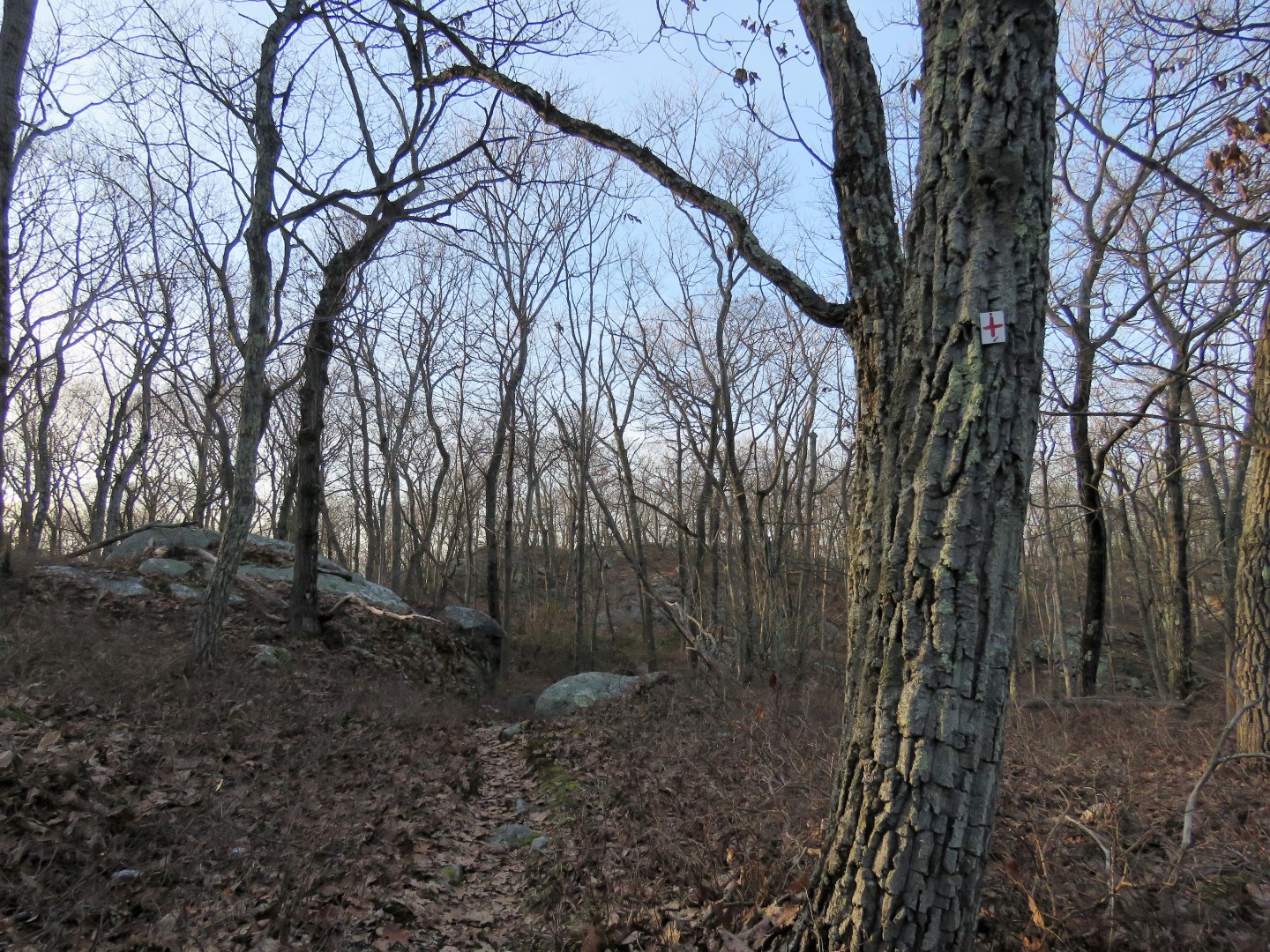
At the intersection, left on the unmaintained and unmarked Bockey Swamp Trail.
At the T-intersection and cairn, right on ...
... Red Cross again and this section was just as wet and icy as before with more creek crossings.
Now if that doesn't stand out like a sore thumb off to the right.
Newly landed balloon #25, the final one of the year.
What made all of these crossings particularly difficult on this day was the ice so it took very careful planning and foot placement not to step on an icy part and slide right in.
The Red Cross trail comes out onto a field just before ...
... crossing Tiorati Brook Road and continuing on the other side.
You can complete this loop by staying on the Red Cross Trail but I had other plans and went too far and had to turn back.
Back at the boulders where I had come in from the right, I turned left (would have been a hard right coming from Tiorati Brook Road).
This follows along above Tiorati Brook Road for a short distance to ...
Oh my... the Hansenclever Mountain Trail on the left. And unmaintained it is! This first part going uphill was a mass of blowdown after blowdown with the old road almost impossible to see. I almost turned back to the Red Cross Trail but I didn't. This trail is on the Gaia app so I referenced the app continuously to switchback up to the top.
At the ridge, things open up, I was able to follow a faint woods road that veered to the left...
... where it became an easy to follow trail the rest of the way all along the ridge of Hansenclever Mountain.
This runs into the Red Cross Trail where we turned right.
Descending to Lake Askoti.
Lake Askoti
Crossing the inlet of Lake Askoti ...
... then across Seven Lakes Road (where there is quite a bit of traffic) ...
... uphill for the last climb to the end of the Red Cross Trail.
Left on Arden-Surbridge all the way back to the parking lot.
Back at Lake Skannatati just as the sun was setting.
With the last hike of the year comes the year in review, one picture from each hike during 2022.