ABOUT THE PARKS: The trails interconnect over the New York/Connecticut state line.
DIRECTIONS:
GPS Coordinates 41.49895, -73.53424
 |
| Parking lot off of Haviland Hollow Road. |
TRAIL MAPS:
The conservation area trails are confusing and the Gaia app does not always accurately reflect where the trails are so at times it takes some navigating with trial and error to get around. The upside is, on a gorgeous spring day I ran into nobody else. Seems everyone goes from the parking lot to the falls and back so the rest of the trails are lightly used.
 |
| Kiosk Trail Map |
HIKE DISTANCE: 9.8 miles
THE HIKE:
 |
| Starting to the right of the kiosk which is the red trail in the conservation area. |
 |
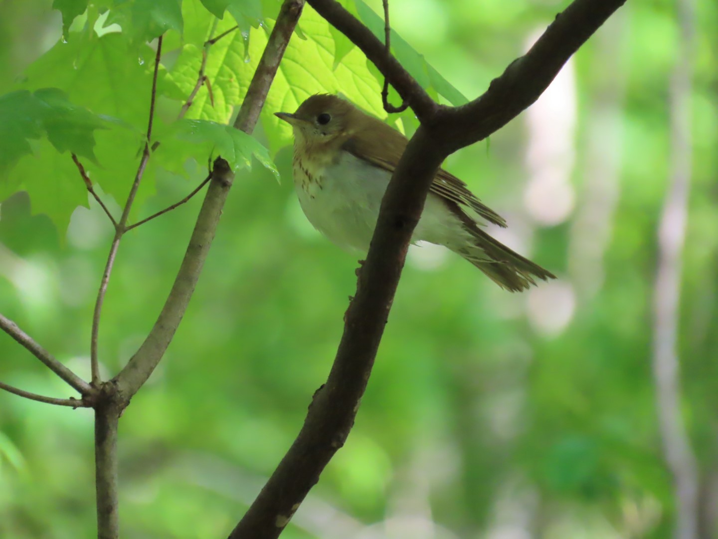
| There were all kinds of birds singing in this area. |
 |
| The red trail will veer left and to the right entering the nature preserve on the green trail. |
 |
| Following along Quaker Brook. |
 |
| The nature preserve has many footbridges over water crossings. |
 |
| At this structure (and another on the right not in the picture) we turned right for an out-and-back on red. |
 |
| Crossing over ... |
 |
| Quaker Brook |
 |
| Red comes out at the main nature preserve area ... |
 |
| ... where there is an observation tower that I did not go to because the grass was tall and way too wet from rain the night before. No sense getting wet feet this early on in the hike. |
 |
| Then over to see the resident raptors (not releasable due to injuries from car collisions) from a distance to keep Brodie from stressing them out. |
 |
| A female scarlet tanager with breakfast in her beak. |
 |
| Retracing on red. |
 |
| Back at those structures, continuing right on red. |
 |
| Turning right here to go to the lower falls. |
 |
| We would be taking the red trail going steeply up on the left after the lower falls. |
 |
| The lower falls are partially obscured by downed trees. |
 |
| Retraced to the red trail and climbing up steeply. |
 |
| Falls at the top. |
 |
| A bridge crosses over to ... |
 |
| ... the same falls from the other side. |
 |
| The whole series of waterfalls. |
 |
| Continuing on to the orange trail. |
 |
| At this structure it is easy to miss the purple trail. It is to the far left and the sign is not obvious. |
 |
| Now heading up purple, very steeply at times. |
 |
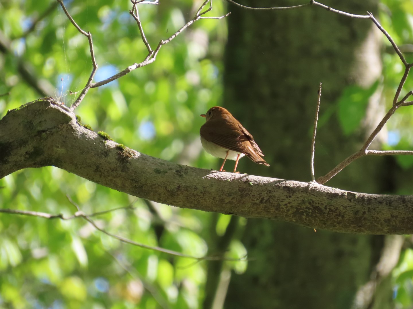
| All kinds of birds nearing the top. Standing in one place, the four above plus Eastern Towhee, Black-capped Chickadee, Northern Parula, American Redstart, Carolina Wren and Baltimore Oriole. |
 |
| We passed by white and continued on purple, picking up white at it's other end. |
 |
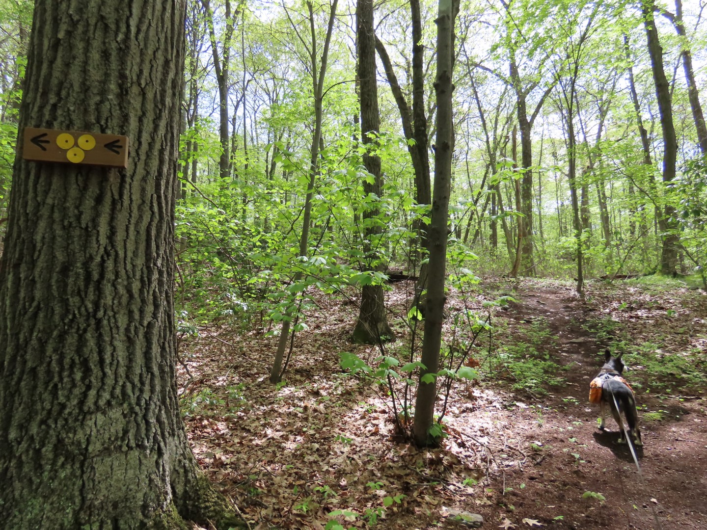
| Leaving Great Hollow property and entering the conservation area where the trails get tricky. |
 |
| This map is really useless! |
 |
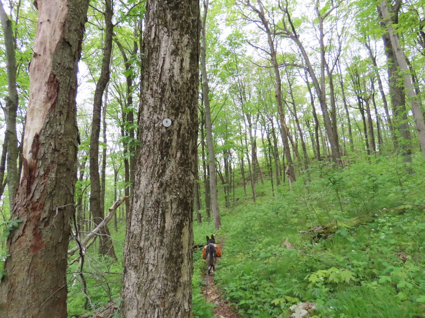
| Heading up to an overlook. |
 |
| It's becoming overgrown so not a whole lot to see. |
 |
| Zooming in. |
 |
| The red trail along the steam with many cascades was particularly scenic. |
 |
| Coming up on the bridge we crossed earlier at the top of the falls, staying on red. |
 |
| Taking a blue trail to the right in search of another overlook. |
 |
| Another very steep climb up to the top of the mountain. |
 |
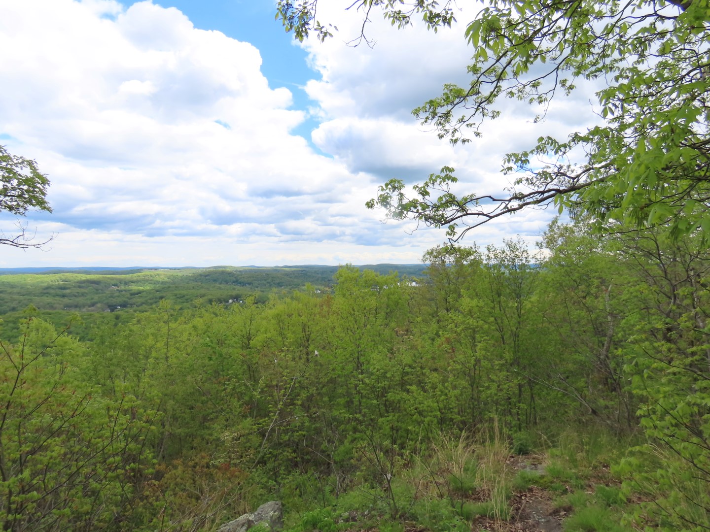
| Seems as though the boulder up ahead marks the spot of the overlook. |
 |
| Well, not much to see. At least the climb up was a good workout. |
 |
| Heading back down. |
 |
| Back at the parking lot. |