ABOUT THE PARK: There is no hunting allowed so it is a good option during hunting season although there are sometimes signs warning to stay on the trail as there could be hunting on private property.
DIRECTIONS:
GPS Coordinates 41.45580, -74.44779
 |
| One of the many parking lots for the reservoir trails. |
TRAIL MAP: The map is from 2020 and shows the orange trail as "future hiking trail." Some of it exists, some of it not so much, some not at all, although the entire trail is shown in the Gaia app.
HIKE DISTANCE: 10.1 miles
THE HIKE:
 |
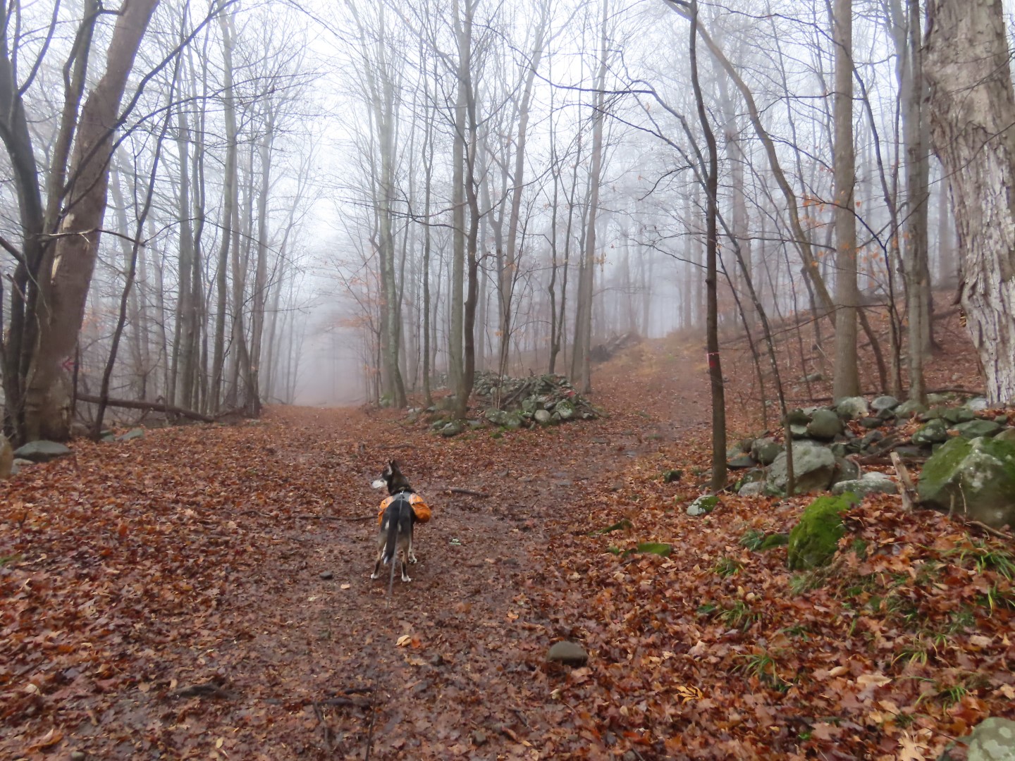
| Starting on the red trail from the parking lot. |
 |
| After the trail turns right over the top of the incline, it becomes very wet and muddy. |
 |
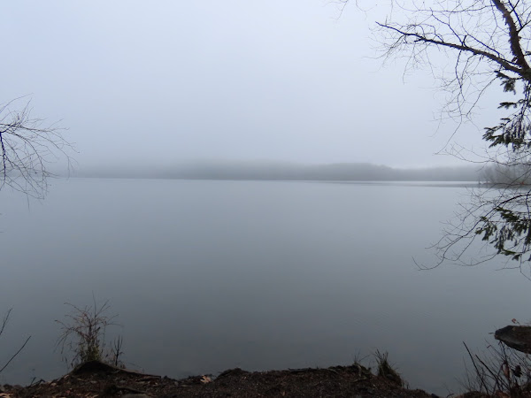
| That would be Monhagen Lake on the right, invisible in the fog. |
 |
| A bit of a view of the lake. We'd be passing by here on the way back and would be able to see it then. |
 |
| Turning left on the orange trail. |
 |
| As mentioned before, the orange trail can be very dicey. This was the good part. |
 |
| The markers seem to be old as most of the orange paint is gone. |
 |
| Once you come up on the road, things get very confusing. |
 |
| The distinct trail keeps going and there are old markers but it completely fizzles out so I headed back. |
 |
| Going back the other way I could see markers heading towards the road so it seems this trail goes two different places. It is supposed to cross the road. |
 |
| So we bushwhacked through this mess following the markers ... |
 |
| ... to where there was a trail and crossed the road. |
 |
| On the other side of the road, however, there is no visible trail. |
 |
| We bushwhacked around until I found some orange paint blazes. |
 |
| Problem was I would find them then lose them and I was losing them more than I was finding them and there was mostly no visible trail to follow. |
 |
| There would be cairns but no indication of which way to go. It wasn't fun at all so I would avoid this part altogether. |
 |
| Finally coming up on the trail intersection ... |
 |
| ... where we turned left on blue. |
 |
| This is the part that is near private property where there might be hunting. |
 |
| Staying right on blue where a well-defined orange trail goes left. That section of orange looks good from both ends. |
 |
| Highland Lake |
 |
| Lots and lots of different kinds of ducks in the fog in Highland Lake. |
 |
| Highland Lake from the dam. |
 |
| The other end of the well-defined section of orange trail. |
 |
| Highland Lake |
 |
| At the T-intersection, left for a 1.2 mile each way out-and-back along Shawangunk Lake. |
 |
| Shawangunk Lake |
 |
| Oh my, two people partaking in illegal fishing in the reservoir. Hold that thought for later. |
 |
| Coming up on a dam at the end of the trail ... |
 |
| ... with a view looking back down Shawangunk Lake before heading back. |
 |
| No more fishermen in sight. |
 |
| Maybe this camera pointing at the spot where people who aren't supposed to be fishing are fishing alerted someone? |
 |
| Heading straight now where we had come in from the right previously. |
 |
| Just beyond the end of the chain link fence, a short side trail to a view ... |
 |
| ... of Highland Lake. |
 |
| A longer side trail to the right ... |
 |
| ... to another view of Highland Lake. |
 |
| Keeping right through the parking lot to ... |
 |
| ... the blue trail. |
 |
| Is that the sun? Fog was not forecast for most of the day but neither was sunshine. |
 |
| Left on white at the top. |
 |
| Through the main parking lot keeping right ... |
 |
| ... to the crosswalk ... |
 |
| ... to the red trail. |
 |
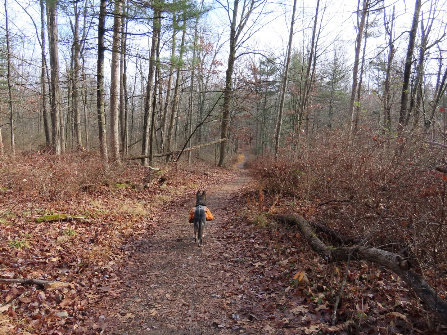
| Passing by where we had first turned on to orange, now retracing all the way back on red. |
 |
| Monhagen Lake can now be seen. |
 |
| Where red turns right the app and map show orange straight ahead, a shorter way back to the parking lot. But there was no evidence of any trail so we continued retracing on red. |
 |
| Couldn't see that school in the fog earlier. |
 |
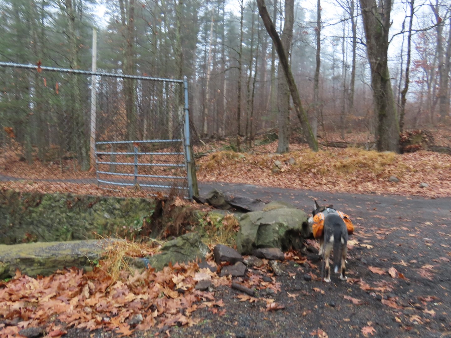
| Just before the gate, left up the hill ... |
 |
| .... back to the parking lot. |