

Weldon Brook WMA - New York New Jersey Trail Conference
DIRECTIONS:
GPS Coordinates 41.01587, -74.6144
 |
| Parking along the sides of Blue Heron Road. |
TRAIL MAP:
Morris County Highlands Trail Map 126 - New York New Jersey Trail Conference
A map won't be of much use as there are no blazed trails and not all trails are on the map. An app like Gaia or Trailforks works best for navigation.
HIKE DISTANCE: 10.6 miles
THE HIKE:
 |
| For access there is a break in the fence on the left. |
 |
| Upon entering we took the first left. |

 |
| Then the next left heading back towards Route 15 in search of the Rock Island Frying Pan Trees. |


 |
| At the top the trail ended but no frying pan trees. We might not have gone far enough but with foliage it was hard to tell so this is probably best found when the leaves are down. |
 |
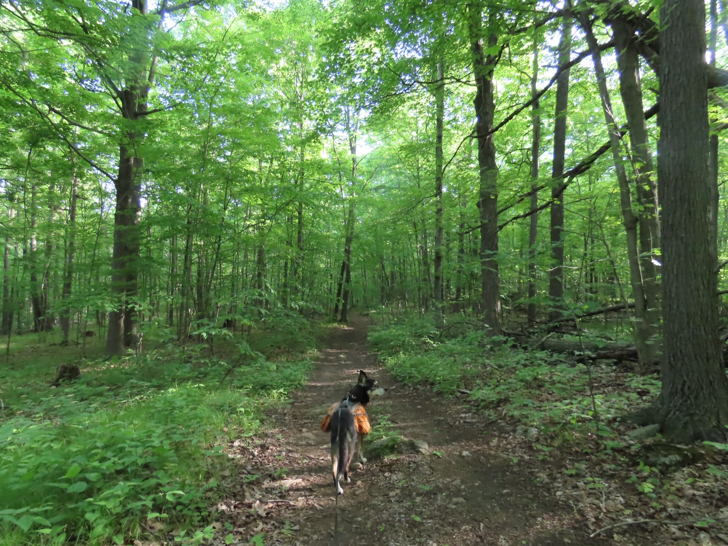
| Continuing around on the trails. |

 |
| Coming back out on the main trail, left to continue around in a loop almost back to where we started. |


 |
| Back at the main woods road, left for a short distance ... |
 |
| ... to the first right to Blue Heron Lake. |
 |
| When Shawnee and I hiked here in 2014 we only made it this far because of downed trees but it's all clear now so we continued on around the lake loop. (Blue is the current track, red is the track from 2014, purple is the planned route of this hike.) |

 |
| A very wet tricky spot here but we made it through. |
 |
| Blue Heron Lake |
 |
| At the far end the trail moves into the woods away from the lake ... |
 |
| ... then crosses a creek where the obvious trail goes straight ahead but that goes to a residential area. The trail actually turns left just after the creek ... |
 |
| ... and follows along the creek as a more faint trail. I eventually lost the trail in a swamp and had to backtrack a bit and bushwhack a short distance over to the other side of the lake ... |
 |
| ... where I was able to pick up the trail again. |


 |
| Almost at the end of the lake loop, some amazing huge old growth trees. |

 |
| Back on the main woods road where we turned right. |
 |
| Passing by Rose Pond. |


 |
| Turning left on a trail to hike another loop. |


 |
| A turkey skittered across the trail ahead of us with tiny little turkey babies! Mama was very scared and nervous and didn't take off because of the babies so I snapped this picture and hurried on along. The babies were too fast so I didn't manage to get a picture of them but oh were they adorable! (Turkey season had just ended the day before. Thank goodness their mother made it.) |
 |
| So we are hiking along and I thought I heard "hoo hoo" and thought I might pick up an owl but instead ... |
 |
| ... it was a Yellow-billed Cuckoo! That was a first for me. When I read up on them later it said they hang out where there is an abundance of tent caterpillars. Later in the hike, over where the sound of the Yellow-billed Cuckoo was coming from, there were tent caterpillars everywhere. |
 |
| Crossing through a power cut ... |
 |
| ... then back into the woods on a woods road ... |
 |
| ... to a right on the Odgen Mine Railroad Trail in Mahlon Dickerson Reservation. |


 |
| Almost at the end, right on a trail that leads back into Weldon Brook WMA. |


 |
| Back through the power cut ... |
 |
| ... then on a trail marked by cairns on either side. |
 |
| This is a squiggly mountain bike trail. We could have also taken the more direct woods road but why when this is much prettier. |
 |
| And more challenging with lots of ups and downs over boulders. |


 |
| Coming up on Blue Heron Lake back to the main woods road where I heard them coming up fast from the WMA entrance ... |
 |
| They were coming towards us around a bend and would have run us over had I not reacted as fast as I had. There are signs posted with a long list of mountain bike regulations. Maybe the NJ DEP should worry less about mountain bikers and pay more attention to destructive and illegal ORV usage. Or here is a thought, maybe make the trail access so they can't get in? |
This Forest Stewardship Plan has an interesting history of Weldon Brook WMA in addition to the following recommendation which apparently was never implemented:


American Redstart
American Robin
Baltimore Oriole
Brown-headed Cowbird
Chestnut-sided Warbler
Common Yellowthroat
Eastern Towhee
Eastern Wood Peewee
Gray Catbird
Great Crested Fly Catcher
Ovenbird
Pileated Woodpecker
Red-bellied Woodpecker
Red-eyed Vireo
Red-winged Blackbird
Scarlet Tanager
Song Sparrow
Tufted Titmouse
Veery
Wood Thrush
Yellow Warbler
Yellow-billed Cuckoo
Yellow-rumped Warbler
Yellow-throated Vireo