Clayton Park - Monmouth County Parks
DIRECTIONS:
GPS Coordinates 40.15592, -74.50462

TRAIL MAP:
Clayton Park Brochure - Monmouth County Parks
HIKE DISTANCE: 7 miles*
*with accidentally doing the .35 miles Glen Trail loop twice
THE HIKE:
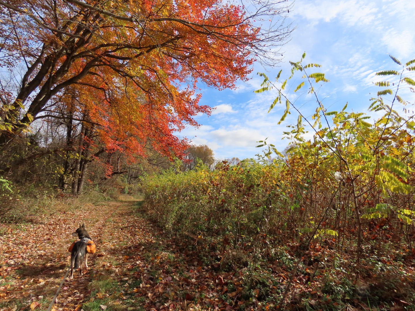
This was the working-my-way-back hike after the last round of chemo. It's an easy hike with rolling hills and smooth trails other than a few roots here and there. Lots of mountain bikers and dog walkers. The many dogs that we encountered all had their humans leashed. How nice for a change.
 |
| Heading across the grass from the middle of the parking lot to the start of the trails. |
 |
| We mostly kept right at intersections but it looks like a new trail is going in that is not on the map so not knowing where that went, I avoided it. |


 |
| Doctor's Creek below on the right - you really don't see very much of it on this hike. |

 |
| Coming out on the fields where we would hike in a bit but first ... |
 |
| ... a hard left ... |

 |
| ... along the pond. |
 |
| Then on to the Glen Trail for a loop before heading back. |


 |
| I ended up going around the loop twice because I missed the turn which is just after this fence. |
 |
| Back along the pond... |
 |
| ... then the Clayton Fields Trail counterclockwise (the trail markers will all be in the other direction). |


 |
| Imlaystown Lake |

 |
| There is another parking lot on Davis Station Road. It was empty where the main lot was pretty full after we finished hiking. |
 |
| I could see dogs charging across their yard up ahead and zoomed in to see if I needed to turn back or continue on. I could see the electric fence shock collars and I have to say I DESPISE those fences. Hoping the dogs would not break through (it happens often) we proceeded around |

 |
| The problem was incessant barking in my ear the entire way along that house. Any owners in sight? Nope. I have never allowed my dogs to bark and annoy people. One woof and you are in, that is my rule. This was highly annoying so something to keep in mind if you hike this loop and those dogs are out. |
 |
| As I mentioned before, the markers are all facing the other way if you go counterclockwise. |


 |
| A hard right turn ... |
 |
| ... to head back to the parking lot. |