ABOUT THE PARK:
DIRECTIONS:
GPS Coordinates 40.68646, -74.36147
 |
| Tower Parking Area |
TRAIL MAP:
 |
| I uploaded all of my Watchung Reservation hike tracks into Gaia and changed all them to blue so it would be easy to see in the app which trails I had already hiked. I could then clearly identify which trails to take. |
HIKE DISTANCE: 7.7 miles
THE HIKE:
Watchung Reservation is the closest to me but not a place I hike very often. Too crowded, too noisy, just not my thing. But on a holiday when I did not want to be on highways driving any distance, it would have to do. Surprisingly, by hiking these unmarked trails that I had not hiked before, I actually found lots of quiet and solitude.
 |
| Heading out of the parking lot to the left to pick up the white trail which crosses WR Tracy Drive. |
 |
| Crossing Summit Lane. |
 |
| Just before coming up on WR Tracy Drive again, left on a wide gravel unmarked path. |
 |
| Heading past The Loop ... |
 |
| ... and back into the woods. |
 |
| Coming out at an open area with picnic tables we headed right ... |
 |
| ... to a pretty much hidden trail ... |
 |
| ... which opens up once through the overgrowth. |
 |
| This is a nice unmarked trail high up with the more popular trails down below. |
 |
| It descends at the far end meeting up with heavily used trails. |
 |
| Taking a few marked trails to the next section of unmarked trail. |
 |
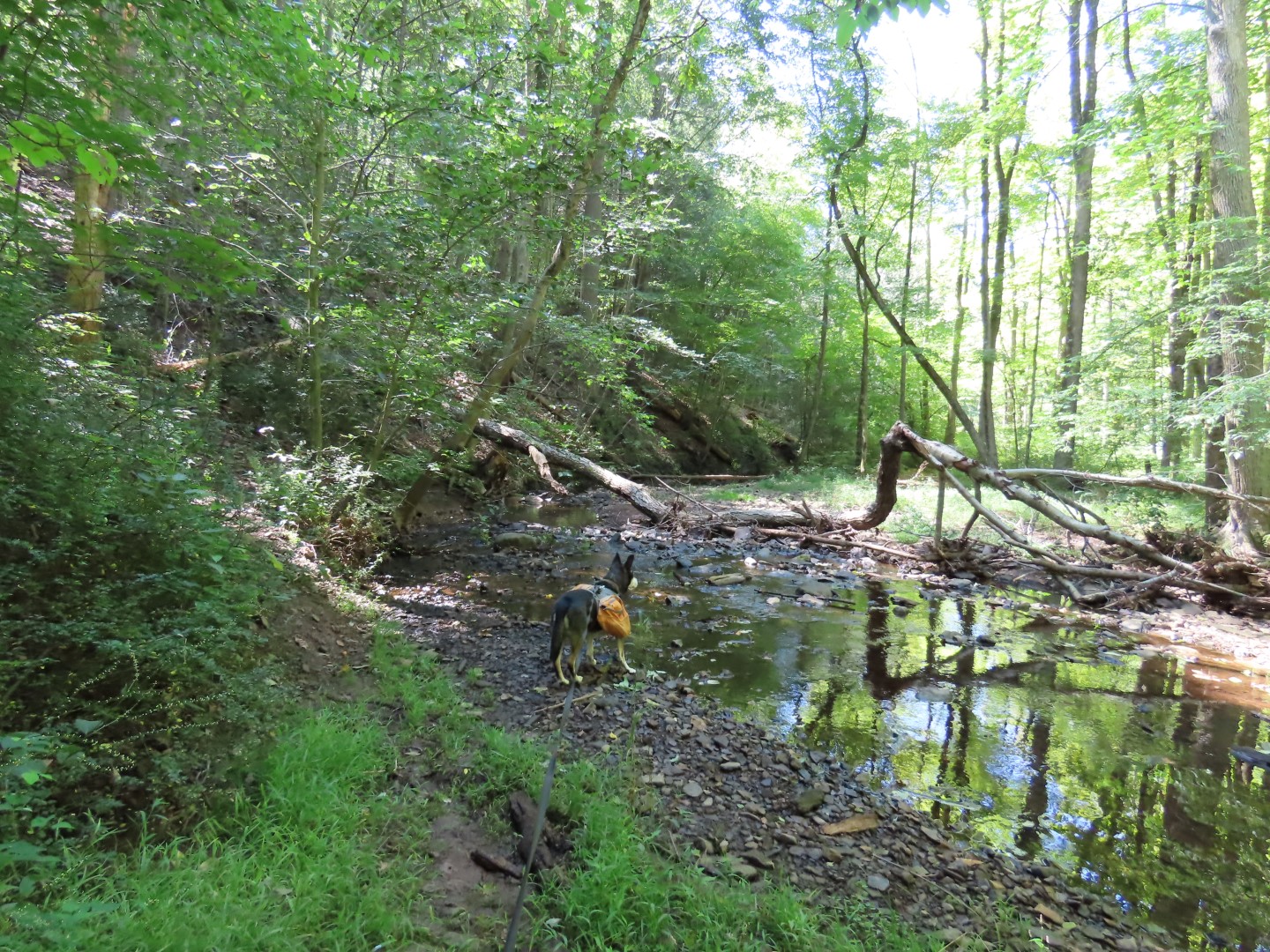
| This unmarked trail follows a dry creek bed ... |
 |
| ... then ascends very steeply uphill to the left. |
 |
| Cute little garter snake. It was so small I thought it was a large earthworm at first. |
 |
| At the top meeting up with the pink trail to the next unmarked trail. |
 |
| From this point a left on the white trail to a left on the unmarked trail towards the red dots. |
 |
| The unmarked trail comes out at Skytop Drive where we crossed then continued up Glenside Avenue a short distance to a right on another unmarked path... |
 |
| At this point, having come in on the brown solid like from Glenside Avenue, we turned left on a trail not on this map - it heads towards "You Are Here" then veers right and follows parallel to the white trail. |
 |
| It's a very nice peaceful trail with nobody else in sight. |
 |
| There has been maintenance on it even though it is not an official trail. |
 |
| It comes out on the white trail just before the overlook to the left. |
 |
| And here we are at the lovely overlook... of a quarry. Ugh. |
 |
| From here another unmarked trail that follows closely along the edge of a steep drop to the left. |
 |
| Coming out at a parking area on Skytop Drive near Seeley's Pond ... |
 |
| ... a right on Skytop Drive a short distance to a left on an unmarked path. |
 |
| Right on an unmarked path that was not even on the Gaia app (the rest of the ones we hiked were on the app). |
 |
| At times it was well-defined, other times not so much but I always managed to regain it. |
 |
| At the end it ascends steeply to ... |
 |
| ... an official gravel path. |
 |
| Crossing a bridge over Blue Brook ... |
 |
| ... to a right on an unmarked path that follows Blue Brook at a higher level. |
 |
| Over to the other side of Blue Brook ... |
 |
| ... then left towards Lake Surprise. |
 |
| With Lake Surprise straight ahead, veering right uphill. |
 |
| Right on unmarked. |
 |
| Passing by Trailside Nature and Science Center. |
 |
| Interesting turn blazes. |
 |
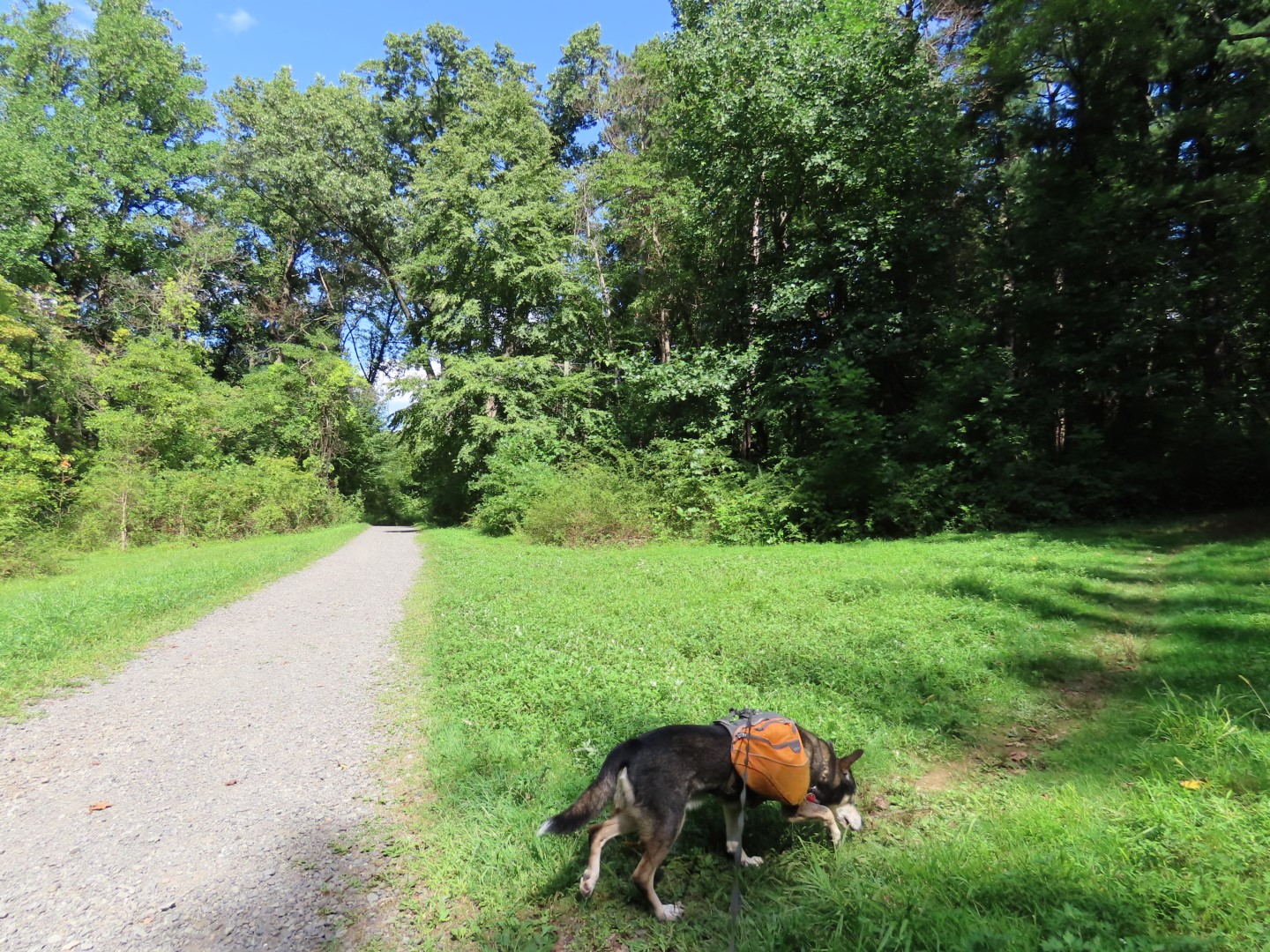
| Retracing the rest of the way on white. |