ABOUT THE PARK: NOTE: Camp Jefferson trails and parking lot are closed on summer weekdays until 5 pm.
DIRECTIONS:
GPS Coordinates 40.98013, -74.59916
 |
| Parking at Camp Jefferson |
TRAIL MAP:
HIKE DISTANCE: 8.8 miles
THE HIKE:
I had hiked a shorter
5.3 mile version of this hike in August 2015 when Shawnee was old and not able to hike more than that. This hike extends into more trails including the former route of the Highlands Trail the other side of Weldon Road.
 |
| From the parking lot facing away from Weldon Road, to the right is where we would be returning. |
 |
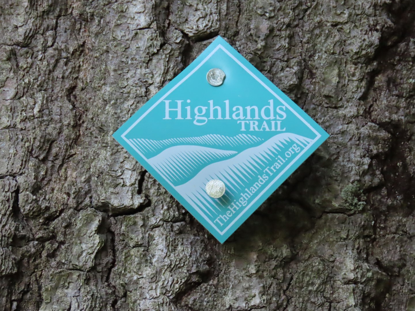
| To start we turned left. The Highlands Trail would go out to Weldon Road at this point. We continued straight then turned right ... |
 |
| ... heading towards the pond. |
 |
| At the pond, left on orange to loop around the pond clockwise. |
 |
| After passing this structure ... |
 |
| ... and just before this clearing ... |
 |
| ... left on the Highlands Trail/yellow camp trail. |
 |
| Passing the blue camp trail where we would be returning later. |
 |
| The other end of the blue camp trail. |
 |
| Eight years ago I had noted that this power cut was very overgrown with sticker bushes but that was not the case at all this time. After crossing the power cut ... |
 |
| ... one last yellow camp trail marker before entering Mahlon Dickerson Reservation. |
 |
| At the gravel road, the Highlands Trail crosses over. To the right is the Highlands Trail spur trail. |
 |
| Crossing another power cut. |
 |
| The trail follows very closely along Route 15 for a while before ... |
 |
| ... heading away and back through the power cut. |
 |
| From this point on it is woods road the rest of the way... |
 |
| ... to Weldon Road. |
 |
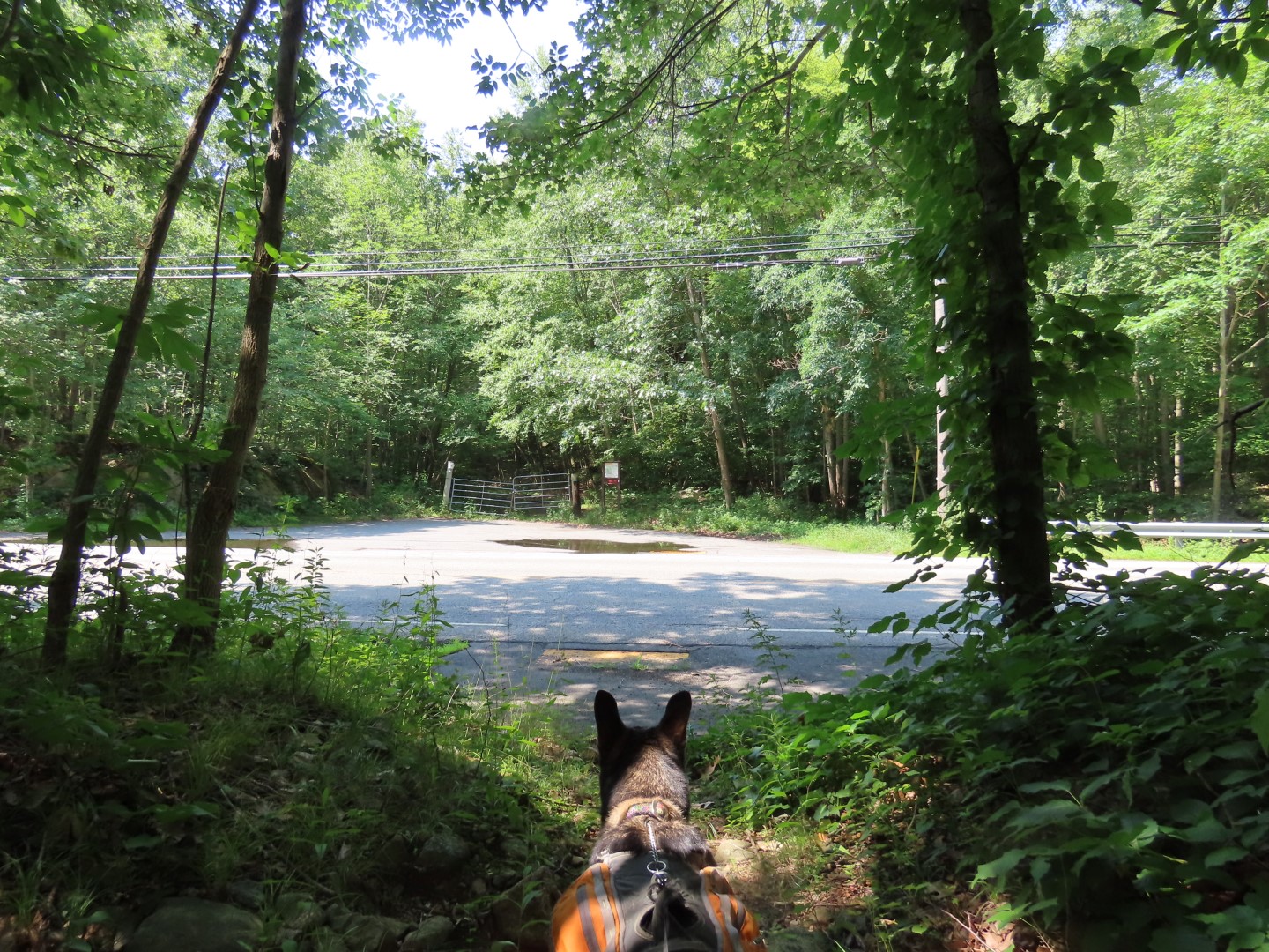
| Crossing Weldon Road ... |
 |
| ... then left on the Highlands Trail/yellow trail. |
 |
| Right over the dam at Saffin Pond. |
 |
| Most of the trail had been pretty rugged up to this point. It was hot and humid and buggy so we headed straight for that bench in the shade for a break where there were no bugs in the breeze. We would be continuing on the Highlands Trail to the right after our break. |
 |
| Saffin Pond break view. |
 |
| Continuing on the Highlands Trail. |
 |
| At this intersection the Highlands Trail now turns left. It used to turn right, which is the way we went. |
 |
| This is now an unmaintained trail that is still fairly clear. |
 |
| There are still some old Highland Trail blazes. |
 |
| Since this is no longer maintained, there are some blow downs to navigate over/around. |
 |
| At the end, right on blue. |
 |
| Oh no, did we get caught up in a race again? |
 |
| At the end of blue, right on yellow. |
 |
| Yellow would come and go as we took unmarked trails intermittently leaving yellow. |
 |
| Back with yellow as it follows along a pond. |
 |
| A short side trail leads to a breezy, bug free spot for another break with a nice view of the pond. |
 |
| Continuing on, again staying yellow/unmarked trails. |
 |
| I had not encountered anyone the entire hike as I was taking very lightly used trails but I never encountered anyone in this race either. When I Googled it later I found the race was the prior day so their markers had not yet been removed, probably because the race lasted until 8 pm. |
 |
| Left on the Highlands Trail to cross Weldon Road. |
 |
| Now turning left on the Highlands Trail spur trail which is all gravel road. |
 |
| At the end of the spur trail ... |
 |
| ... left on the Highlands Trail to retrace. |
 |
| Shortly after crossing the power cut ... |
 |
| ... enter Camp Jefferson. |
 |
| Left on the blue camp trail not knowing how hikeable it would be after 8 years. It wasn't that easy to hike back then and I had to bushwhack the last part due to an impenetrable mass of downed trees. |
 |
| The trail is very rough but for the most part there were plenty of markers so it's mostly a matter of working your way from marker to marker. |
 |
| Sometimes you can see the markers continuing up ahead, other times not so there is some looking around for the next marker but I managed to stay with the trail. |
 |
| There is also some defined trail left. |
 |
| This must be where I could not continue on 8 years ago. Seems as though some of the downed trees were sawed since then. We were able to make our way through this time... |
 |
| ... all the way to the end. |
 |
| Left on the Highlands Trail/yellow camp trail. |
 |
| Left at the gravel road. |
 |
| The orange pond loop trail joins in. |
 |
| Staying with the Highlands Trail back to the parking lot. |


No comments:
Post a Comment