ABOUT THE PARK:
DIRECTIONS:
GPS Coordinates 41.39926, -73.89150
 |
| Pullout parking for two cars along South Highland Road. |
TRAIL MAP:
HIKE DISTANCE: 11.2 miles
THE HIKE:
 |
| From the parking area, facing away from the car, turn right and road walk a short distance ... |
 |
| ... to the green Moneyhole Mountain Access Trail on the right. |
 |
| When green ends at the yellow Moneyhole Mountain Trail, we went right and would be returning from the left. |
 |
| Leaving yellow for an out-and-back on the white Chimney Top trail. |
 |
| At the top a chimney and some great views. |
 |
| To the right, Storm King Mountain and Bull Hill where the Hudson River flows between them. |
 |
| To the left, Perkins Memorial Tower on Bear Mountain. |
 |
| Retracing on white. |
 |
| Right on yellow to continue. |
 |
| Leaving yellow again on the red Catfish Loop to hike a section I had not hiked before. |
 |
| Crossing over the Appalachian Trail. We would be returning from the left on the AT. |
 |
| Just after the sign for the Dennytown Road Parking Area ... |
 |
| ... left on the Appalachian Trail. |
 |
| Back at the intersection with red where we crossed over earlier, right on red to retrace back to yellow. |
 |
| Right on yellow to continue the loop. |
 |
| Crossing over the other side of the red Catfish Loop. |
 |
| At the end of yellow ... |
 |
| ... left on Indian Brook Road for a 2-mile road walk. Other than an occasional dirt bike and a few bicyclists, there was no other traffic. |
 |
| Passing the Taconic Outdoor Education Center. |
 |
| I had been looking for a spot to take a break and there was nothing along the road so I thought maybe at the pond up ahead? |
 |
| All of the property on the left had restriction signs posted but this one said "fishing allowed from here to the dam." Stands to reason that would mean if you had to walk that way to fish, I could walk that way to take a break? So on we went. |
 |
| It wasn't until I got home and uploaded the pictures that I noticed the rest of the sign. Hiking prohibited? Seriously? Do you have to hover in to go fishing? Oh well, too late, my bad. |
 |
| Found an awesome spot for a break. Nice breeze, dragonflies keeping the bugs away, it was great. |
 |
| Since there was an actual trail, we continued on the the dam. |
 |
| At the dam up ahead, we turned back and retraced. |
 |
| Then left on Indian Brook Road to continue. |
 |
| It is a while before passing residences. |
 |
| What was Brodie staring at? |
 |
| Oh, hello! I don't think Brodie had seen sheep before. |
 |
| Not too long after passing this old dilapidated house... |
 |
| ... left on the other end of the yellow Moneyhole Mountain Trail. |
 |
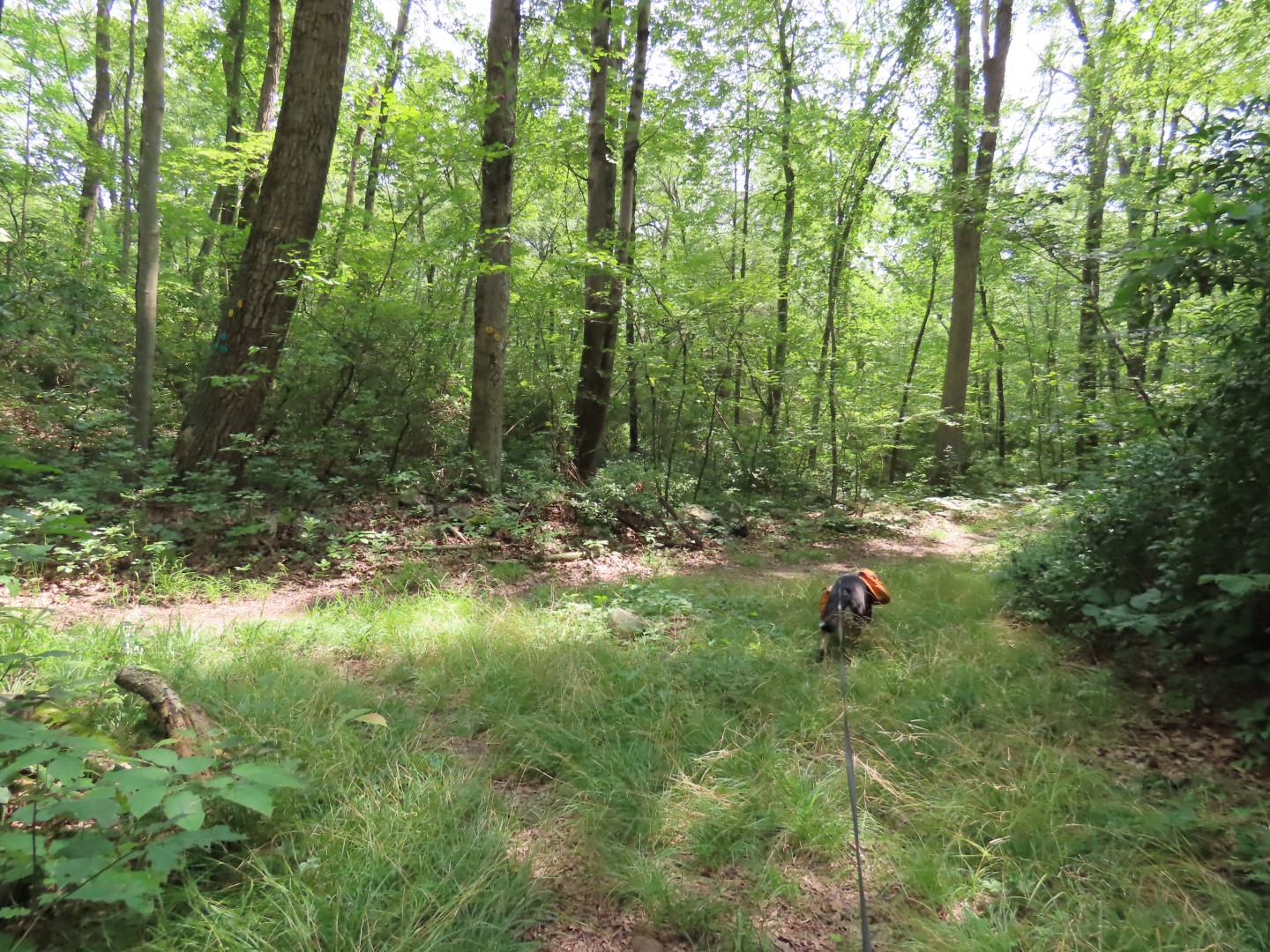
| Nearing the top it is overgrown with soft grass. |
 |
| On the other side of the mountain the trail is more clear and open. |
 |
| There are a couple of rock hops over creeks along the way. |
 |
| At the green Moneyhole Mountain Access Trail, right to retrace back to the car. |


You found what's known as "Earl's Chimney". One of the easier hikes with a great reward in that great park. So glad to see it again.
ReplyDeleteEarl sure did have a nice view from his chimney.
Delete