ABOUT THE PARK:
DIRECTIONS:
GPS Coordinates 40.848969, -74.555010
 |
| Large Parking Lot in Hidden Valley Park |
TRAIL MAP:
The map only shows whether trails are gravel or paved. Although the trails have colored markers, it is hard to tell which color is which trail since the map does not show the colors. There is also a very nice dirt footpath that is not on the map. I wore sneakers but trail runners might have been a better choice since the gravel is chunky.
 |
| Pretty sure I have the colors correct. White is the same as blue except a but shorter. |
HIKE DISTANCE: 10 miles
THE HIKE:
With yet another weekend of temperatures reaching into the 90's with high humidity I wanted to stay as close as possible to home to get started as early as possible and get out by noon at the latest. Being mostly in the shade was also a requirement. Knowing this would be more of a walk than a hike, it worked for a day like this.
 |
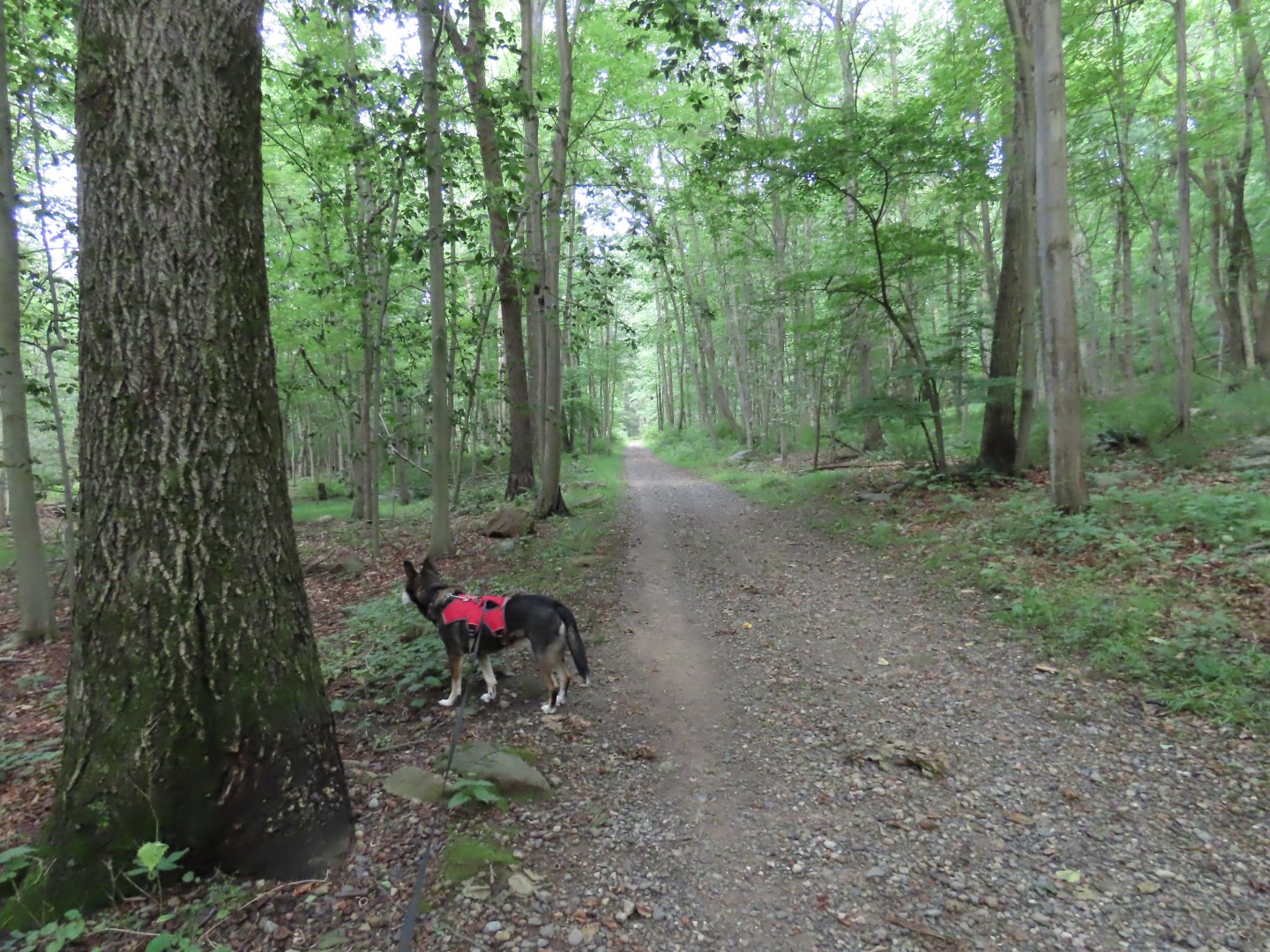
| Starting on the white trail from the parking lot. |
 |
| The white trail only lasts a few steps before blue comes in from the left. We went right on blue/white and would be returning from the left |
 |
| You can basically ignore white as it is completely redundant, following along with blue except for those few steps from the parking lot. The mileages make no sense. One mile from where? I had not walked one mile yet. |
 |
| Turning left heading towards Freedom Park. |
 |
| Crossing the power cut. |
 |
| Red joins in from the left, the trail we would be taking on the return route. For now continuing straight on red/white/blue. |
 |
| There is no sign at this fork but the trail goes right... |
 |
| ... through Freedom Park. |
 |
| Exiting Freedom Park and crossing Millbrook Avenue. |
 |
| Veering right to Cohn Farm. We would be taking the gravel path to the left after returning. |
 |
| The highest point of the trails. |
 |
| Continuing straight on red. |
 |
| At the end, turning around and heading back. |
 |
| Now turning right on green towards Brundage Park. |
 |
| Green joins in with blue/white. |
 |
| Crossing Carrell Road. |
 |
| Entering Brundage Park. At the pond up ahead we turned right on green to loop around some of the Brundage Park trails. |
 |
| At this intersection, a map of the trails we had just been on. |
 |
| Continuing straight from the map intersection to a right at the butterfly on to ... |
 |
| Along Church Road towards Mt Freedom Golf... |
 |
| ... then crossing Sussex Turnpike and left to cross Devonshire Drive to regain the trail. |
 |
| This runs into a blue spur of the Patriot's Path that comes in from a parking lot on the left. |
 |
| We went to meet up with the Patriot's Path at a point where we had been on a previous hike. As I was looking to the left at the trail we had come up on during that hike, I saw movement about 50 feet away and looked closer to see a bear that was dining on something and had just noticed us. So I loudly said "BRODIE, LET'S GO" and we slowly turned and retraced at our normal pace as planned. I kept talking for a while so the bear would know we were getting father away. |
 |
| This rabbit did not want to move. I gave him the "Dog Awareness" speech and he finally darted off. Fortunately Brodie is not very interested in rabbits. With all of the wildlife it was feeling more like an actual hike. |
 |
| Coming back out at that butterfly, we turned right to continue on to the pond ... |
 |
| ... where we grabbed that bench in the shade for a break. |
 |
| Break view of the pond. |
 |
| After crossing back through Freedom Park and turning left on red/blue/white, turning right on red as it leaves blue/white. |
 |
| Just before red starts steeply downhill, left on a footpath. |
 |
| This path has unofficial yellow paint marks. It was so nice to get off of that chunky gravel and be on a dirt path - my favorite trail of this hike. |
 |
| It follows parallel to the blue/white trail we were on at the beginning of the hike but on the opposite side of the power cut. This trail is not on the map. |
 |
| The path ends at blue (no markers here) where we turned left. |
 |
| Crossing through the power cut. |
 |
| A lot of overgrowth around Ted's Pond so you can't really see it. |
 |
| Now there are blue markers. |
 |
| Blue turns left at the kiosk joining with white ... |
 |
| ... coming from the few steps into the parking lot. |


Always love you posts, have a peaceful summer, love an woooos,
ReplyDeleteTimber and family
Thanks! You all have a nice summer, too!
DeleteA very nice description of the hike and enjoyable pictures
ReplyDeleteThank you!
Delete