

Explore the Morris Canal - Canal Society of New Jersey
Waterloo Village Brochure - Canal Society of New Jersey
Waterloo Valley Trail - Canal Society of New Jersey

DIRECTIONS:
GPS Coordinates 40.91483, -74.75921
 |
| Waterloo Village Parking |
TRAIL MAPS:
Waterloo Village Brochure - Canal Society of New Jersey
Waterloo Valley Trail - Canal Society of New Jersey
HIKE DISTANCE: 11.8 miles
THE HIKE:
 |
| I didn't spend much time in Waterloo Village since the purpose of this hike was to hike the entire 5-mile Waterloo Valley Trail. We entered, went down the steps, and veered left along the canal. |
 |
| Just around the corner at Smith's Store ... |
 |
| ... Brodie almost got himself a groundhog but with lightning fast maneuvering on my part and the groundhog's part, that disaster was averted, much to Brodie's dismay. |
 |
| That Brodie, so rude. |


 |
| I remembered this dilapidated bridge from when I was here last on June 30, 2012. It is even more dilapidated 9 years later. |
 |
| Crossing over the canal ... |
 |
| ... then right coming up the other side heading back. This was to capture the Waterloo Valley Trail where it starts at Lock 3 West. |

 |
| To the far right are the steps we came down from the parking lot; to the far left is the first greenway marker. There had been no other signs or markers until now. |

 |
| Going under I-80. |

 |
| The teal-blazed Highlands Trail also follows most of this route. |

 |
| These bikers and another group of bikers on the way back were the only others I encountered on the trail. |


 |
| The trail is between the Musconetcong River on the left and the Morris Canal on the right. |
 |
| Because some of the canal was obliterated over the years there are a few road walk sections. |

 |
| Another road walker. |


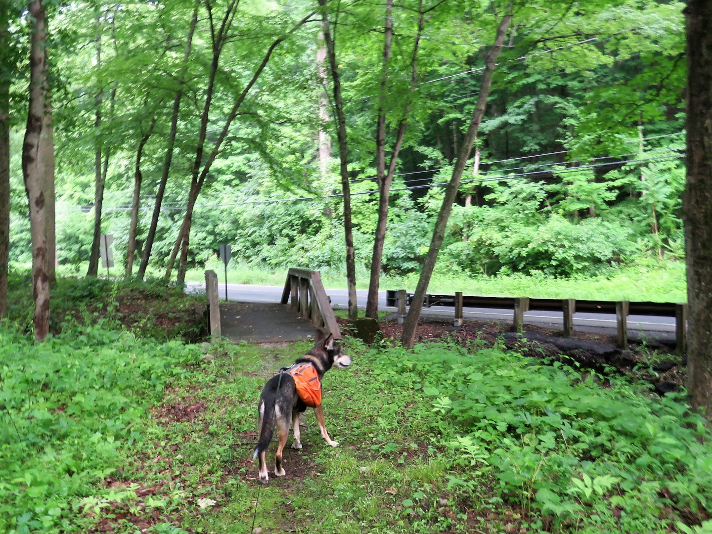 |
| At this bridge leading to Waterloo Road things get a little tricky. |
 |
| The markers indicate a right turn ... |
 |
| ... then almost immediately a left turn into the woods for a portion parallel to the road. |
 |
| But where is the trail? |
 |
| There was no obvious trail at all but I could see a bit of a clearing through the overgrowth so we hacked on through. |

 |
| And there was the trail! |
 |
| Unfortunately it did not last very long. |
 |
| My legs were getting sliced up by thorns and we could go no more so we retraced back the way we came. |
 |
| Back to a right on Waterloo Road |
 |
| Lesson learned: If you don't see a trail there (it might still be a work in progress), just turn left from the little bridge and road walk right into the next road walk section. |
 |
| This is where the trail should have come back out on the road but there is also nothing there. The groundhog can't find the trail either. |
 |
| Looks like I almost made it. |
 |
| From this point it is more road walking anyway so continuing on along the road. |


 |
| The trail turns left on an old paved road leaving Waterloo Road |


 |
| Back out on Waterloo Road briefly ... |
 |
| ... to Saxton Falls on the left. |
 |
| There is a bench with a nice river view for a break. |
 |
| We headed back along the far side of the canal ... |
 |
| ... then left on Waterloo Road a very short distance then right into the woods. |

 |
| The trail now follows along Waterloo Road for a while. |

 |
| The Highlands Trail leaves to the left to enter Stephens State Park. |


 |
| The new bridge. |
 |
| The end of the Waterloo Valley Trail at the parking area at Bilby Road. |

 |
| Heading back. |


 |
| Heading back down to Waterloo Road with Saxton Falls up ahead on the right. |

 |
| Keeping straight on Waterloo Road and ignoring the off road portion that is overgrown. |

 |
| We ran into two different groups of trail maintainers heading back. |
 |
| The trail is definitely more clear than when we started earlier. Thanks volunteers! |


 |
| After crossing under I-80 we took the second left to a grassy path that led to ... |
 |
| ... the steps to ... |
 |
| ... the parking lot. |