ABOUT THE PARK:Roads in High Point State Park close to vehicle traffic from December 15 to April 1 allowing for snow mobiles when there is enough snow. It also allows for incorporating roads into loop hikes with complete solitude when there is not enough snow.
DIRECTIONS:
GPS Coordinates 41.25815, -74.70600
 |
| Three parking spots before the seasonally closed gate on Sawmill Road just off of Deckertown Turnpike. |
TRAIL MAP:
HIKE DISTANCE: 11.3 miles
THE HIKE:
Because the cortisone injection for my ankle arthritis was wearing off just shy of my 12-week doctor appointment for the next injection coming up the following week, I was back on Meloxicam which helps but does not work quite as well as the injection. I felt I should pull this hike out of my to-do file for an easier, shorter hike that started out planned as a 7.5 mile loop. Well, that was the plan but of course it did not turn out that way. It was easier, just not shorter.
 |
| Starting out by making a right on Deckertown Turnpike. I wanted to get that out of the way first because ... |
 |
| ... there isn't much room to walk. At 7:30 AM there was not a lot of traffic and I just needed to get to almost the top of that hill up ahead. |
 |
| Crossing over Big Flat Brook |
 |
| The original plan was to turn right on the Parker Trail the other side of Deckertown Turnpike. But I had never hiked the section on the left to the border of Stokes State Forest so while here, what the heck. I turned left. |
 |
| I removed lots of downed branches from the trail but it was otherwise clear and very easy to follow. |
 |
| A few flooded out spots to get around but there had been lots of snow melt recently so that was to be expected. |
 |
| Coming up at the end of the Parker Trail, at a little over 1 mile, at the boundary of Stokes State Forest. |
 |
| Turning around to head back. |
 |
| Crossing Deckertown Turnpike to continue on the Parker Trail. |
 |
| This section is more rugged and sometimes less defined than the part we had just been on. |
 |
| You can hear Big Flat Brook down below. |
 |
| Turning left on Park Ridge Road. |
 |
| This road walk is pretty darned enjoyable with no cars and total peace and quiet, just the honking of Canada geese overhead and an occasional babbling brook. No humans in sight this entire hike. |
 |
| There are bird houses in the woods off to the right, something you would probably miss from a car. |
 |
| Coming up on a bridge ... |
 |
| ... over Parker Brook. |
 |
| This male American Goldfinch allowed me just one shot to show that he is on schedule for spring with his yellow coloring coming in. |
 |
| After a little over 2 miles on Park Ridge Road, right on the Ayers Trail. |
 |
| The interior gates are all open presumably for snowmobile access. |
 |
| From the High Point brochure: "Ayers Trail was the road that led to Ayers Farm, established in 1870. Today the fields, bordered by impressive stone walls, are maintained by annual controlled burns that help preserve the field habitat." |
 |
| Indeed, my thought was exactly how impressive the stone walls are that you can see going around the huge field. |
 |
| Towards the end of the Ayers Trail, several interpretive signs. |
 |
| At the end, right on Sawmill Road. |
 |
| At Sawmill Lake I had intended to grab a bench to change into sneakers for the rest of the hike which would be all road walk. But... |
 |
| First some pictures of Sawmill Lake. |
 |
| And Canada geese VERY high up getting into formation. |
 |
| Formation almost complete. |
 |
| Zooming in to High Point Monument in the distance. |
 |
| Then... wait, what? Is this a trail that is not on the map? Let's see how far this goes. |
 |
| Turns out, it went all the way around Sawmill Lake. How cool! (+ 1 more unplanned mile) |
 |
| No problem. |
 |
| The trail goes through campsites so probably not a good idea to hike this during camping season. |
 |
| Sawmill Lake from the far end. |
 |
| Crossing the bridge at the spillway back to that bench to change into sneakers. For real this time. |
 |
| The final 2.75 mile road walk on Sawmill Road. |
 |
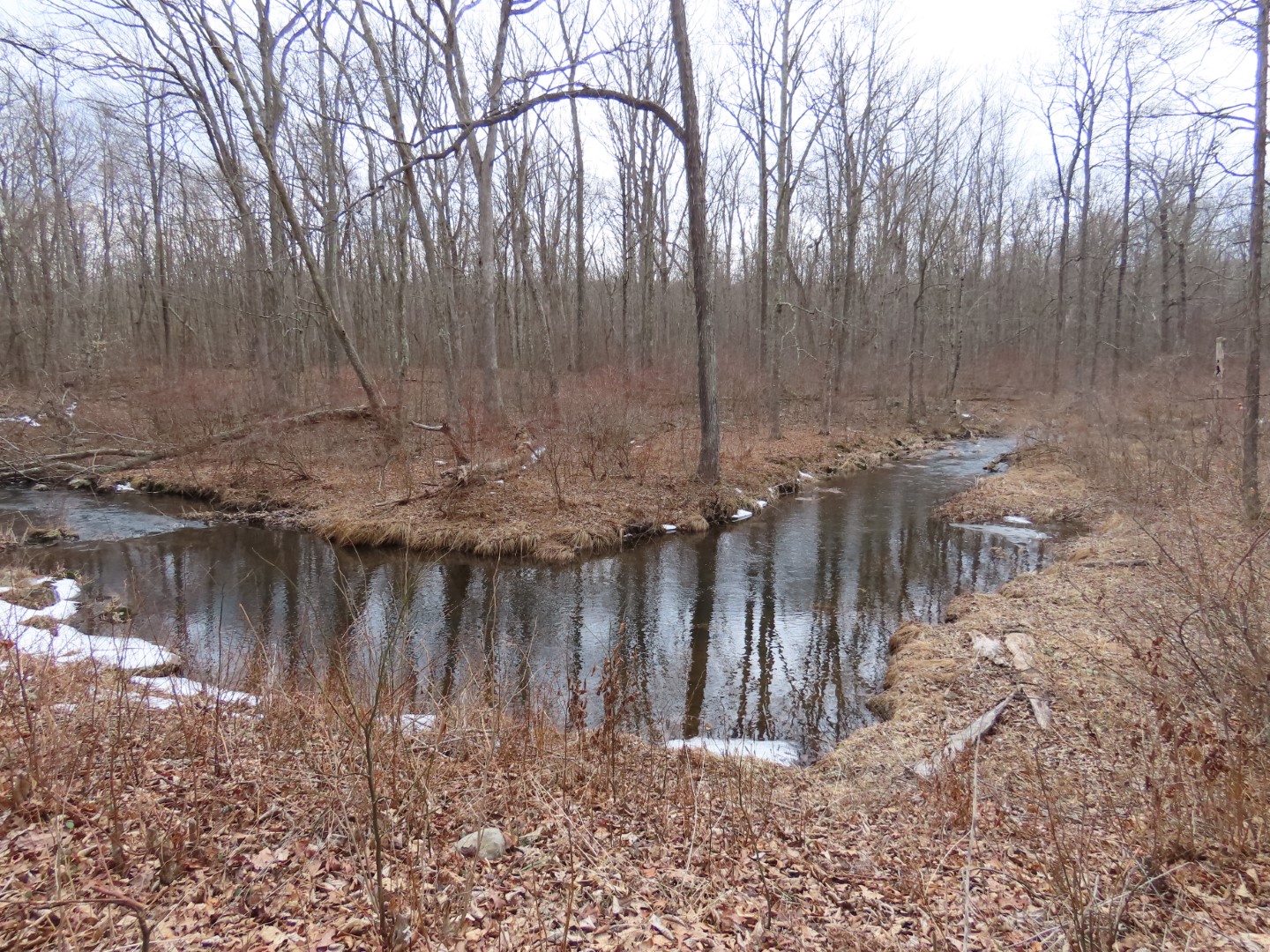
| Big Flat Brook |
 |
| Almost at the end ... |
 |
| ... passing Red Barn Pond ... |
 |
| ... to the gate and parking. |


A great adventure,
ReplyDelete