DIRECTIONS:
GPS Coordinates 40.83415, -74.94584
 |
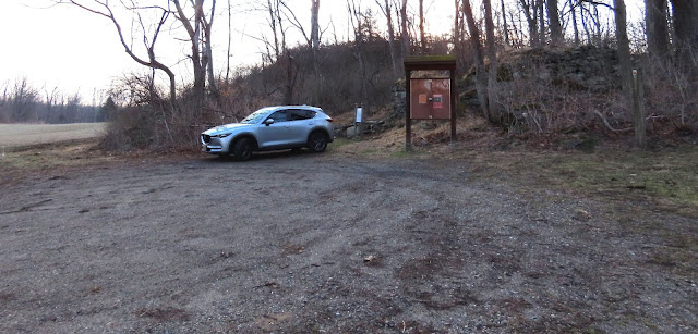
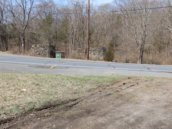
| Trailhead parking off of Pequest Road. |
TRAIL MAP:
HIKE DISTANCE: 10.5 miles
THE HIKE:
I hiked here in April 2013 but did it a bit differently this time. Instead of starting at the eastern end of the rail trail, I started at the hiking trails then went out to the western end of the rail trail and back. The rail trail is not shown on the map and is separate from the hiking trails.
 |
| A lime kiln in the parking lot. |
 |
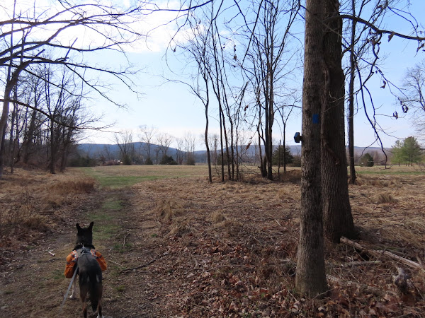
| Starting on the red trail. |
 |
| There were several blow downs to navigate over. |
 |
| After this bridge ... |
 |
| ... we turned right on yellow. |
 |
| Yellow turns left up a power cut. |
 |
| Looking back down the power cut ... |
 |
| ... the Delaware Water Gap is visible in the distance when it is not foggy. |
 |
| Coming up on McDowell Pond ... |
 |
| ... where the Merlin Bird Sound ID app picked up all of these birds in two minutes. |
 |
| Continuing on blue ... |
 |
| ... although it takes a while until there are some blazes. |
 |
| Lots of robins everywhere. |
 |
| American Kestrel |
 |
| Blue comes out on Pequest Road where you cross over but it is unclear where to continue. |
 |
| I ended up going along the field to the right of the archery range. According to the app, the blue trail was farther to the right but I met back up with it at the far end of the field. |
 |
| Passing by the trout hatchery. |
 |
| We took a break at those picnic tables and I noticed that to the far left ... |
 |
| ... is the entrance to the hiking trails so I made a mental note of that for the return route. |
 |
| Passing by the Pequest Education Pond. |
 |
| Then walking out the entrance road ... |
 |
| ... over ... |
 |
| ... the Pequest River. |
 |
| Left into the parking lot then to the far end ... |
 |
| ... where there is an unmarked trail that goes along the river. |
 |
| I was hoping the trail would meet up with the rail trail but it did not appear that it was going to happen so we headed back. |
 |
| Making a left out of the parking lot back on to the entrance road, then a left ... |
 |
| ... on to the rail bed just before Route 46. |
 |
| Hmmm. Where does this path to the left go? |
 |
| Well, dangit, had I gone just a few steps farther I would have met up with this path over to the rail trail! |
 |
| The rail trail appears to have ended in backyards but that is not the case. |
 |
| It resumes again and continues to Pequest Furnace Road ... |
 |
| ... where it crosses at old bridge abutments then crosses the Pequest River on a bridge. |
 |
| Just the other side of the bridge a trail goes to the left ... |
 |
| ... then right on an upper level rail bed. |
 |
| You can see the rail bed we were on down below with the river on the far side. |
 |
| This upper rail bed goes on for quite a distance then a trail to the right ... |
 |
| ... leads down to the lower rail bed where we turned right to head back. |
 |
| Back at the hatchery entrance road ... |
 |
| ... heading back over to ... |
 |
| ... the pond and ... |
 |
| ... that sign to the trails where we crossed Pequest Road ... |
 |
| ... to the drive to the parking lot. |


Really nice to see Brodie out hiking. Hopefully, with the many clear trails it would minimize those nasty ticks.
ReplyDeleteI went through some thick encroaching growth on that unmarked trail along the river and did not pick up any ticks so the picaridin must have worked. I used a different can and sprayed heavily.
Delete