ABOUT THE PARK: DIRECTIONS:
GPS Coordinates 40.95547, -74.57065
 |
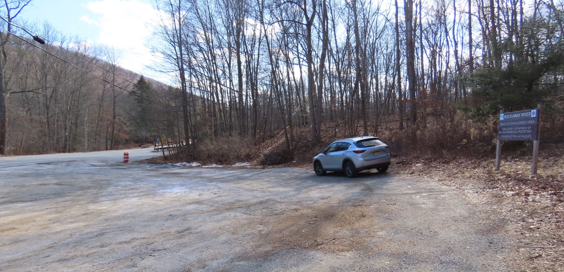
| Parking lot off of Berkshire Valley Road. |
TRAIL MAP:
HIKE DISTANCE: 10.5 miles
THE HIKE:
The last time I hiked the Beaver Brook Trail was in
March 2012 and as a loop with the Rockaway River in
May 2017. So it was time for a rehike but with a variation this time. It's an exhausting hike, especially as an out-and-back when you have to do all of the looooong ups and downs all over again. This time I took woods roads back to almost the very end then met back up with the Beaver Brook Trail for the steep but scenic descent.
 |
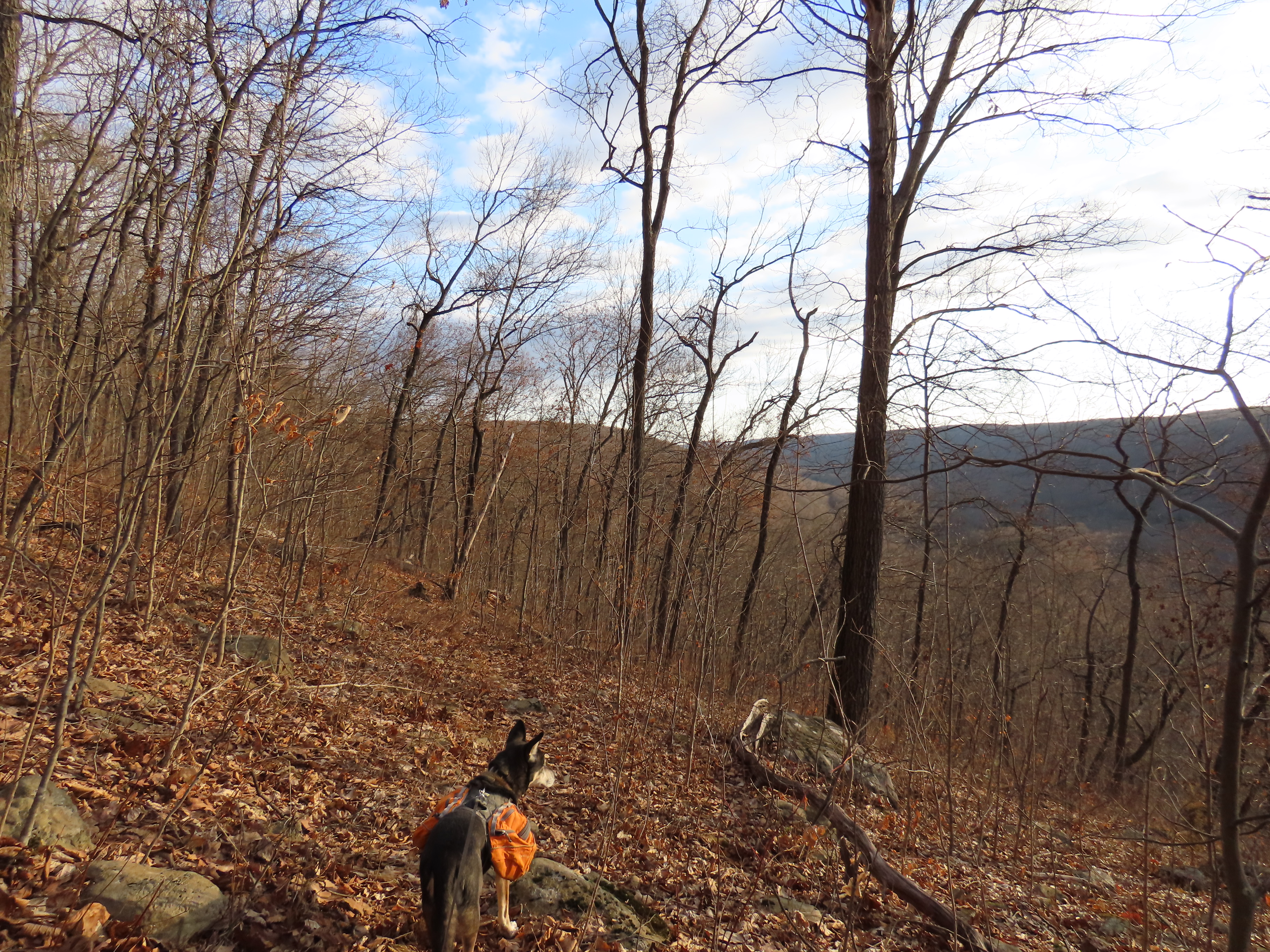
| Starting off on the white-blazed Beaver Brook Trail. |
 |
| Looking back for a view. |
 |
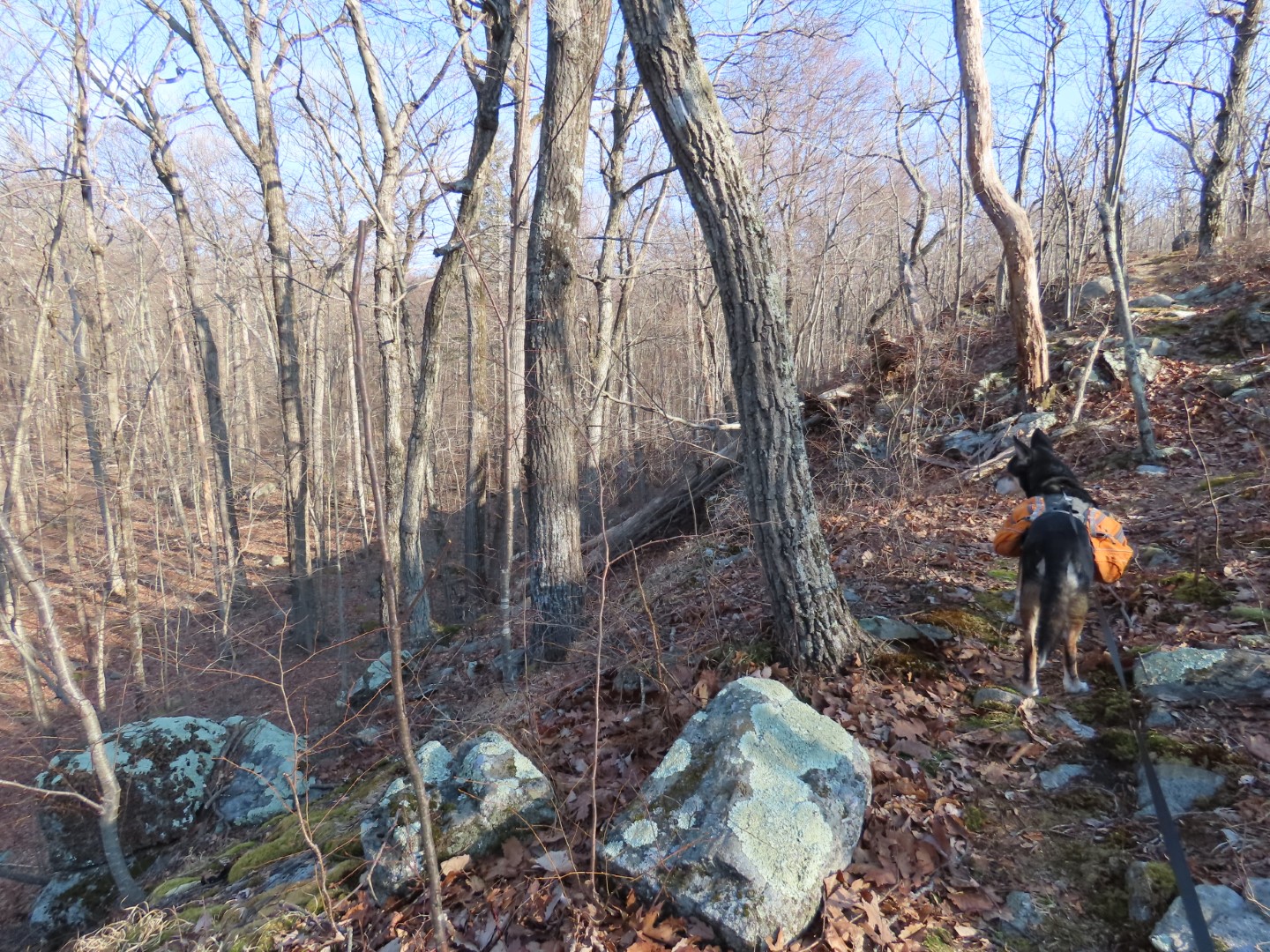
| We had to navigate through/around several blow downs but it was all doable. There doesn't seem to be a lot of trail maintenance here (it's a very lightly used trail) but most of the paint blazes looked very fresh. |
 |
| In the winter there are views all along the trail. |
 |
| Then it descends ... |
 |
| ... and crosses ... |
 |
| ... a creek ... |
 |
| ... with some waterfalls. |
 |
| Climbing back up. |
 |
| Looking back - yes, that is the high point in the distance that we climbed up and over then down and back up to this point. It's quite a workout! |
 |
| Coming into the powercut ... |
 |
| ... there is a rock hop over Beaver Brook. I was not thrilled with any of the options - there was ice on some of those rocks - so I whacked through thorny overgrown in the power cut to a better spot to the right where water was flowing over rocks submerged about an inch. No ice in flowing water and waterproof hiking shoes kept the water out so it was a successful crossing. |
 |
| Shortly after crossing Beaver Brook, coming up on ... |
 |
| Lost Lake |
 |
| Two Hooded Merganser couples way off in the distance in Lost Lake. |
 |
| The trail continues to wind around the lake. |
 |
| Then it heads towards Mahlon Dickerson Reservation. |
 |
| All these years of hiking and this is my first ever antler shed find, smack in the middle of the trail. |
 |
| Mahlon Dickerson Reservation starts at the kiosk and the Beaver Brook Trail ends. |
 |
| At the kiosk we turned left on yellow for a short distance, then left on a woods road. |
 |
| Back into Rockaway River WMA. |
 |
| It's all woods road for quite a while. |
 |
| In this area the woods roads were very pleasant. |
 |
| One soggy spot but that was it. |
 |
| Winding back around Lost Lake but at a higher level than the Beaver Brook Trail which crossed the woods road a couple of times. |
 |
| Passing back through that power cut to ... |
 |
| ... a different Beaver Brook crossing. I had scoped this out from the other side when we passed earlier so I knew what to expect. The rock hop looks fine but looks can be deceiving. To the left that bush is in the way and you have to step into the water to get around it. To the right those mounds of grass are not on dry land, it is swamp so you have to step in the water there, too. Good news is I brought extra shoes and socks and a towel along since I could wear lighter hiking shoes for the woods roads parts. I just needed to wait to make the change until after this crossing. So in the water I went once I made it to the other side on the rocks. |
 |
| Grabbing that log to sit on to change into the other shoes. |
 |
| And then all is fine and pleasant until ... |
 |
| Ugh - dirt bike tracks and fresh wet ones at that. |
 |
| I could hear them, I could smell them ... |
 |
| ... and there they are. Really puts a damper on an otherwise very nice hike. |
 |
| You can see all the tracks and damage. |
 |
| But fortunately I had to leave that area and take another woods road that was not a dirt bike highway. I could still hear them but at least I wasn't breathing in that noxious exhaust. |
 |
| I took this woods road all the way out to where the map shows an overlook. |
 |
| And here it is. |
 |
| Heading back. I had been looking for where I needed to turn to regain the Beaver Brook Trail. I had seen a path but it seemed to fizzle out. I had passed another woods road going in that direction so I felt that was the better option. |
 |
| Taking that woods road ... |
 |
| ... only to have it end at a camp site. |
 |
| No continuation in sight. |
 |
| But I did not have far to go. Pink was my planned route and I was guessing at this part since it was not on the Gaia app. It is on the trail conference map so I knew where it should come out at on the Beaver Brook Trail, just not where to get on it from the woods road. But since I was so close I figured I'd try to bushwhack. |
 |
| Following the contour and ... |
 |
| ... getting closer. As soon as I took this picture I looked up and saw ... |
 |
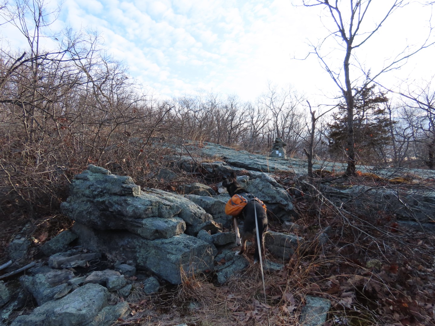
| ... white blazes! Yay! |
 |
| I had come out at the most scenic part of the return route which was actually better than what I had planned. So now it's retracing on the Beaver Brook Trail all the way back. |


WOO! what a great time together
ReplyDeleteGreat views!
ReplyDelete