

ABOUT THE PARKS:
Allamuchy Mountain State Park, NJ - NJ DEP
DIRECTIONS:
GPS Coordinates 40.95574, -74.73684
 |
| Parking between Cranberry Lake and Route 206. |
TRAIL MAPS:
Morris County Highlands Trails Map 126 - New York New Jersey Trail Conference
HIKE DISTANCE: 10.8 miles
THE HIKE:
With yet another weekend forecast of heat, humidity and storms, I decided to take advantage of the much cooler, breezy and dry Friday before the weekend. Getting off work at 1 PM on summer Fridays, I headed out in horrible traffic to try to cram in 10 miles before sunset. The bonus was I encountered only one mountain biker over the course of the entire hike.
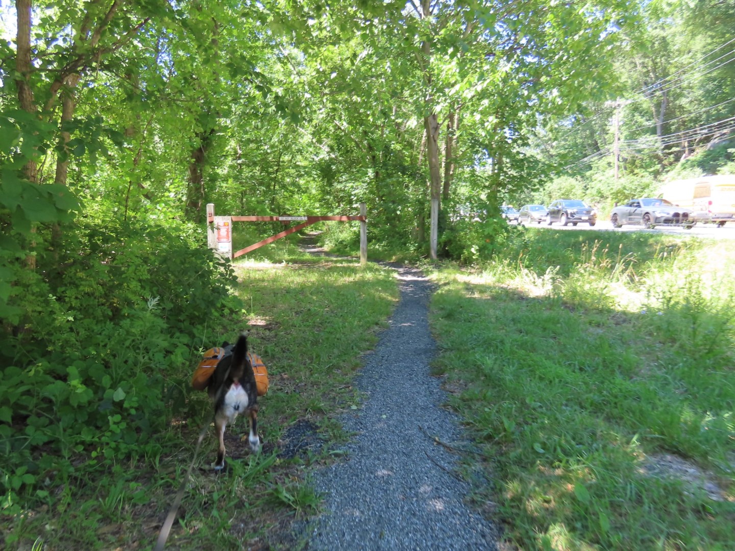
 |
| Heading north on the path from the parking lot along Route 206. |
 |
| After crossing North Shore Road ... |
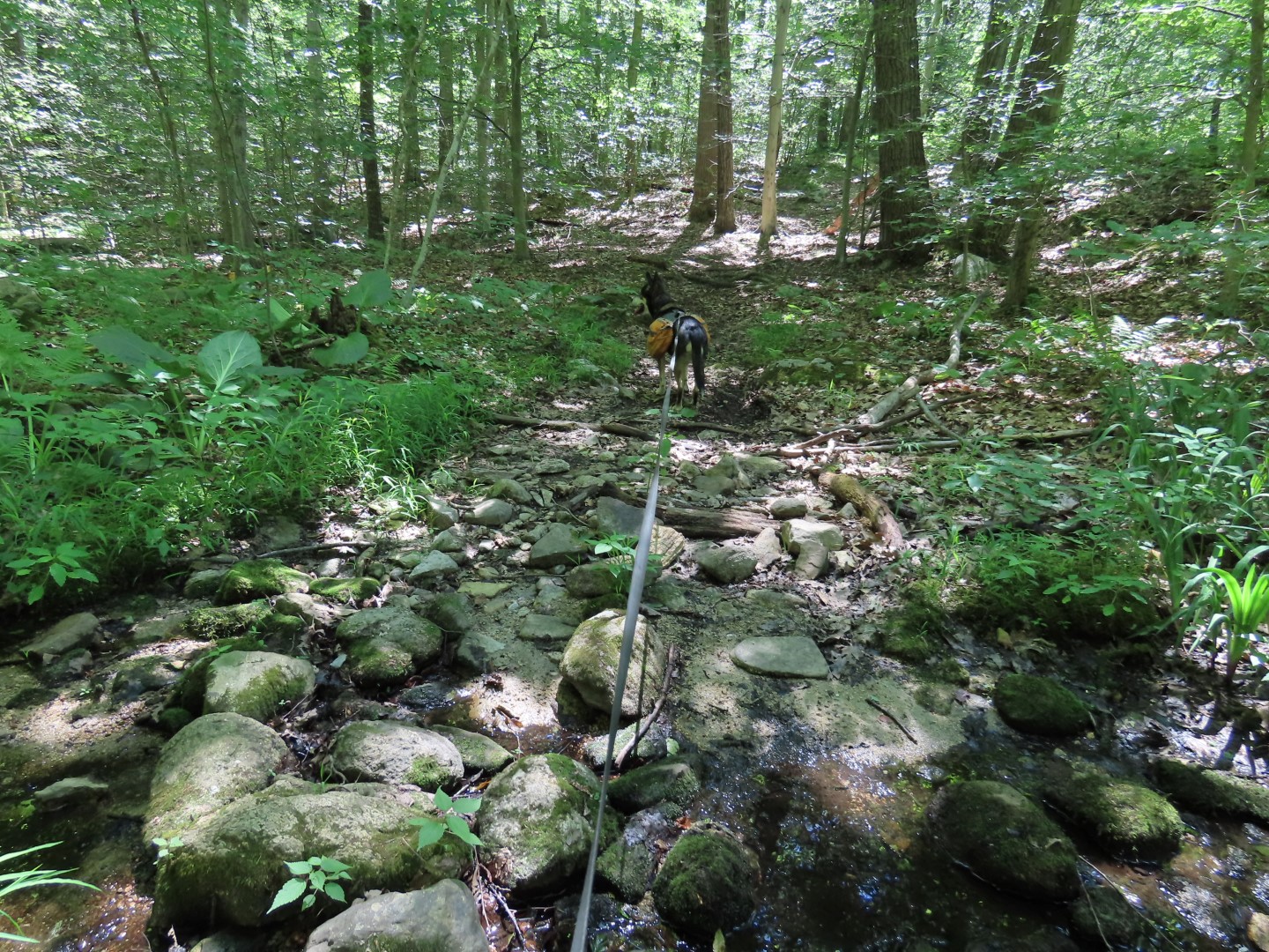
 |
| ... the Sussex Branch Trail veers more into the woods with a bit of a buffer following Route 206. |

 |
| We turned left on the green Waving Willie Trail but there are no longer any markers at the intersection so you have to watch for it. |
 |
| We were a distance in before I saw a couple of those elusive green trail markers. |
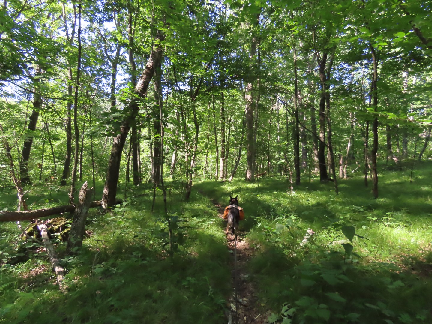
 |
| Eventually there was a blaze to be seen on trees here and there but they are scarce and it is easy to get off track on unmarked trails so having an app for navigation is very helpful. |


 |
| We left green to the right at this fork to find ... |
 |
| ... we were on the white trail when a marker appeared. |


 |
| Left on the purple Ditch/Cardiac Trail for a short distance. |
 |
| When purple turned right, we turned left on unmarked. |


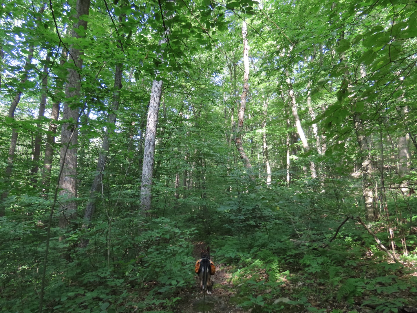
 |
| We ended up on white again for a while before taking some more unmarked trails. |


 |
| Right on red. |


 |
| Left on the teal Highlands Trail. |


 |
| The Highlands Trail comes out at the Sussex Branch Trail ... |
 |
| ... where we turned left leaving the woods just as it was getting pretty dark in the woods. I had planned this hike with the last 1.75 miles being on the rail trail just for that reason. |


 |
| Crossing over South Shore Road ... |
 |
| ... then up the dam to continue along Cranberry Lake. |
 |
| Cranberry Lake at sunset. |


No comments:
Post a Comment