ABOUT THE PARK:
DIRECTIONS:
GPS Coordinates 41.46250, -73.82852
 |
| Pelton Pond Parking |
HIKE DISTANCE: 11.1 miles
THE HIKE:
Something worth noting: There is a shooting range just the other side of the Taconic State Parkway from the trail that is not shown on any maps so I was not aware of it until gunfire erupted at 9 AM as we were passing right by that area. We had to pass by again on the way back from Shenandoah Mountain. I found it on Google Earth. If you hike with a dog that is terrified of gunfire or if you don't care for it yourself, part of this hike will be miserable.
 |
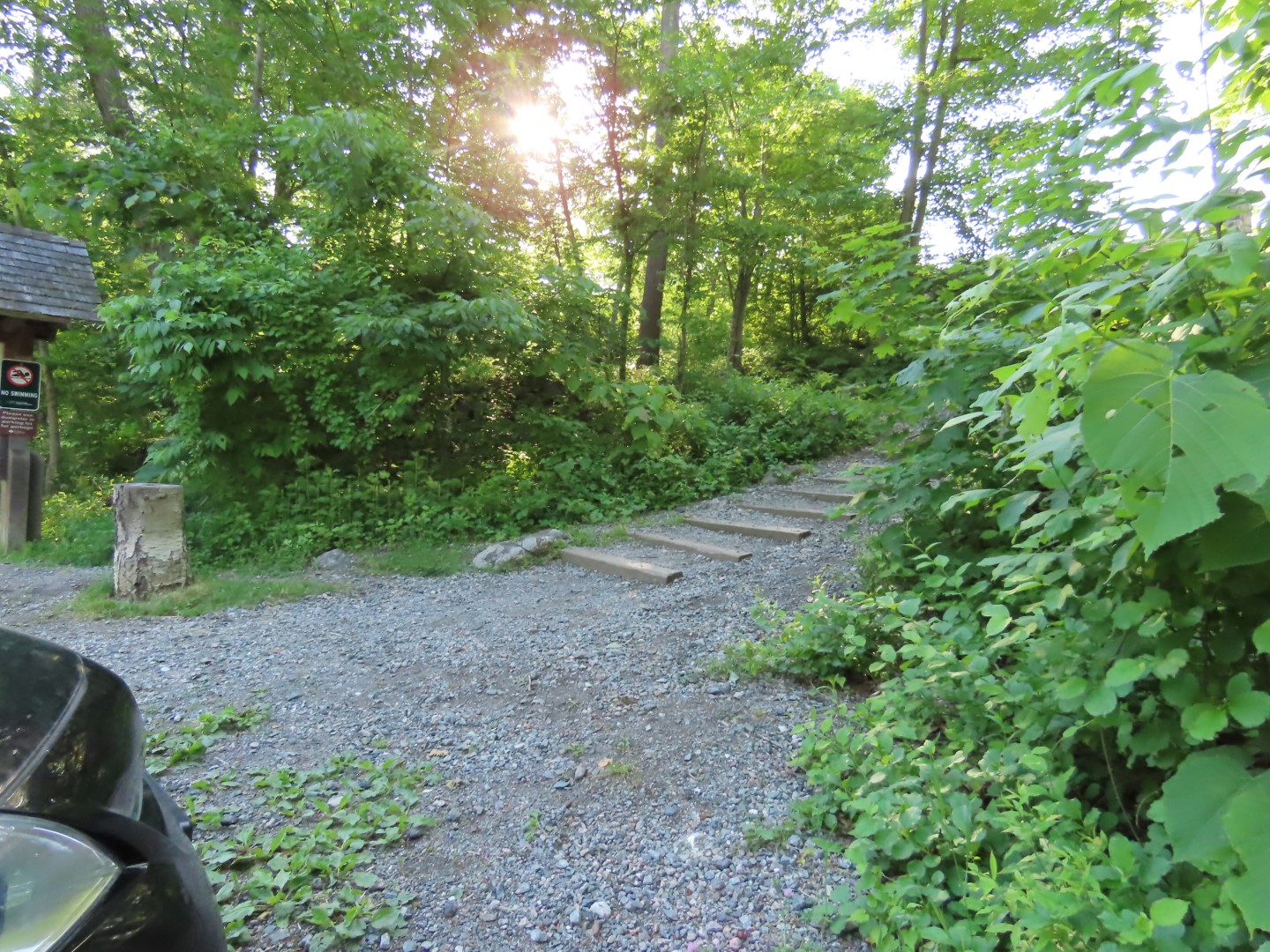
| We started on the steps next to the kiosk ... |
 |
| ... to the pavilion ... |
 |
| ... for a morning view of Pelton Pond. |
 |
| Heading north on the yellow trail. |
 |
| Left on an unmarked trail. |
 |
| This leads to the campground entrance road where we turned left and crossed Route 301 to the main park entrance. |
 |
| A short distance in, right on white. |
 |
| Turning left and descending to ... |
 |
| ... the beach parking lot where we headed towards the right of the building up ahead. |
 |
| Passing by the beach and ... |
 |
| ... Canopus Lake straight ahead to ... |
 |
| ... the blue Appalachian Trail access trail. |
 |
| Canopus Lake |
 |
| Blue ends at the Appalachian Trail where we turned right. |
 |
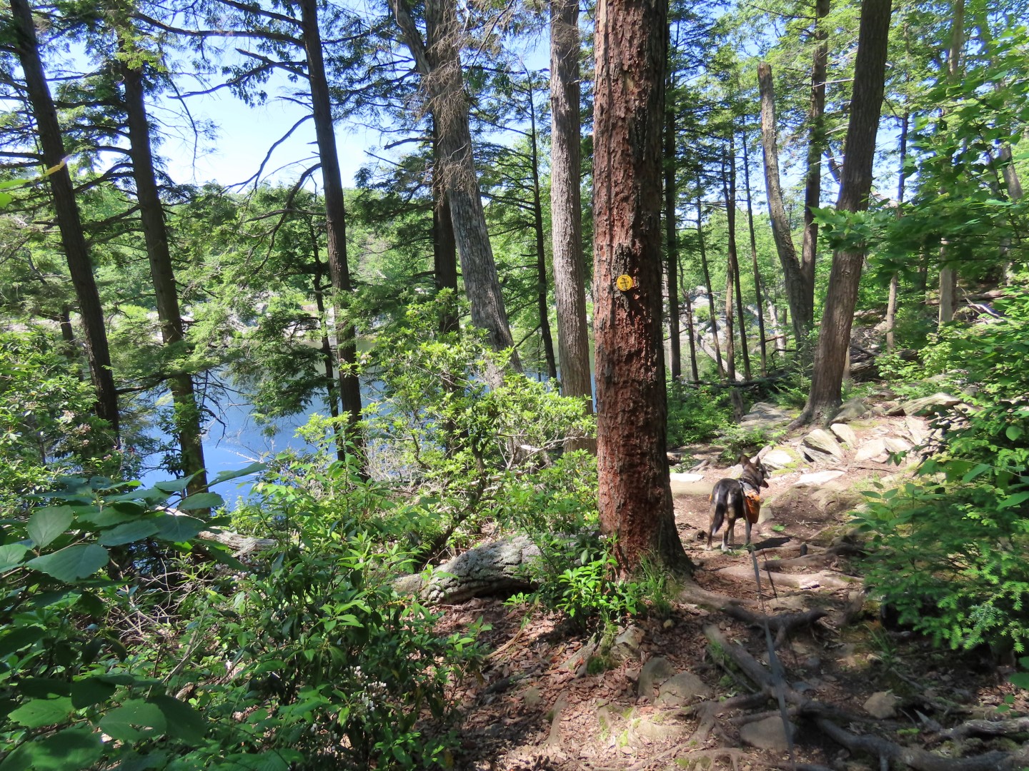
| Climbing up to ... |
 |
| ... a view of Canopus Lake from above. |
 |
| Here is about where the gunfire started. We would be taking this blue trail on the way back. |
 |
| From this point on, in spite of the gunfire, all the way to Shenandoah Mountain the trail was very pleasant to hike on with a flat, smooth surface. |
 |
| Coming up on ... |
 |
| ... the views at Shenandoah Mountain. |
 |
| Heading back the way we came I spotted a juvenile turkey! She jumped off the log where I saw momma turkey with a ton of children. They all took off flying into the trees. |
 |
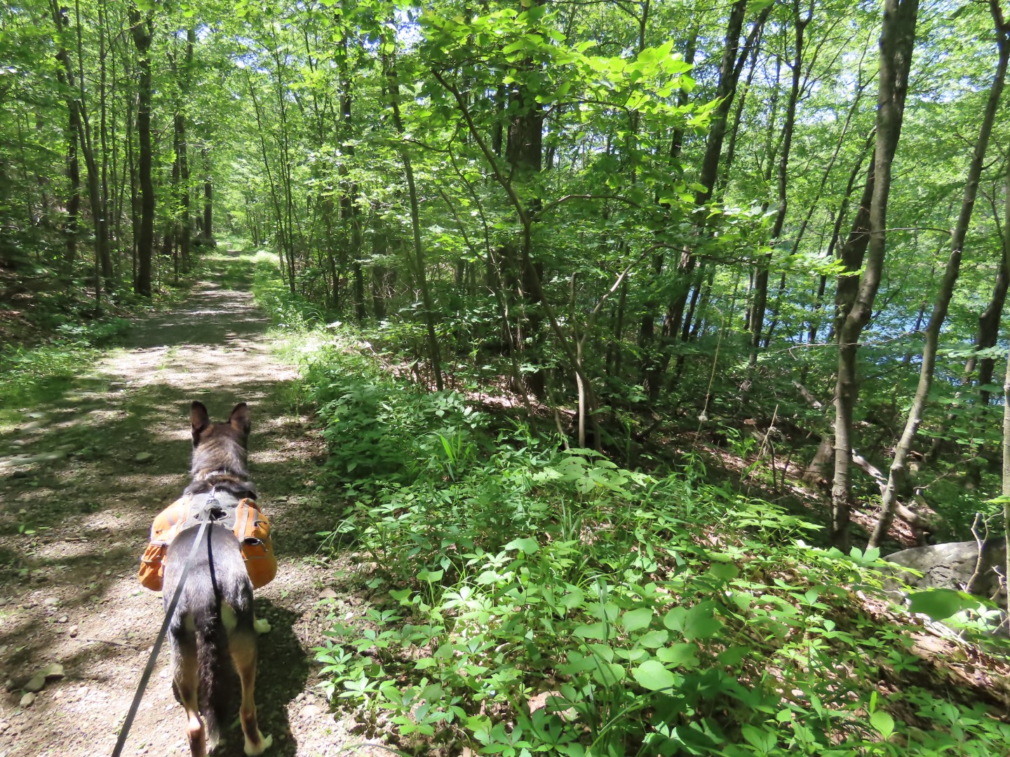
| You won't be seeing Brodie for a while. Heading towards the gunfire, I had to drag him behind me. |
 |
| He thinks we are all going to die. |
 |
| Turning left on the blue trail which brought us directly opposite the Taconic State Parkway from the firing range. |
 |
| Finally heading away from the gunfire so Brodie was up front again but pulling, which he normally does not do. |
 |
| Leaving blue to the left on what is supposed to be yellow ... |
 |
| ... but it comes out in an overgrown field with the AT thruhiker shelter at the far end. We veered left along the field ... |
 |
| ... and found the yellow trail. |
 |
| Left on white from yellow. |
 |
| White comes out at the main park road where we turned left. |
 |
| Walking out the park entrance ... |
 |
| ... and crossing Route 301 continuing straight on the paved road into the campground. |
 |
| To the right into the campground ... |
 |
| ... then left on unmarked at the post. |
 |
| Getting out of range of the gunfire, this part was pleasant with nobody else around. I had only encountered one thruhiker from Kentucky on the AT then nobody else until Stillwater Pond at 8 miles. |
 |
| The unmarked trail ends at the white Roaring Brook Trail where we would be returning. For now, a hard left on red. |
 |
| Red will leave to the right and we continued on blue which leads to a more manicured area where only cars with permits can enter from the gate on the Taconic State Parkway. There was only one car but doing the loop around Stillwater Pond, we encountered a lot of other people. They probably came from Pelton Pond. |
 |
| Blue becomes a woods road again as it loops around Stillwater Pond, which really cannot be seen. |
 |
| A giant Chia Pet? |
 |
| Thought I might see more of the pond veering right to cross the dam ... |
 |
| ... but that would not be the case. Maybe in the winter but it's all trees blocking any views. |
 |
| The best shot I could get. |
 |
| At the end of the dam blue continues to loop around until it ends at the white Roaring Brook Trail where we turned right. |
 |
| There is a side trail that goes downhill where there is a little bit of a view. |
 |
| At the end of white, left through the campground ... |
 |
| ... to right on yellow. |
 |
| Yellow follows along Pelton Pond. |
 |
| Pelton Pond |
 |
| Following yellow around ... |
 |
| ... back to the parking lot. |
BIRDS IDENTIFIED WITH THE MERLIN BIRD ID SOUND APP:
American Goldfinch
American Redstart
Black-and-white Warbler
Black-capped Chickadee
Blue-gray Gnatcatcher
Canada Goose
Carolina Wren
Chipping Sparrow
Common Raven
Common Yellowthroat
Eastern Towhee
Eastern Wood-Pewee
Gray Catbird
Great Crested Flycatcher
Indigo Bunting
Ovenbird
Red-eyed Vireo
Red-winged Blackbird
Scarlet Tanager
Tree Swallow
Tufted Titmouse
Wood Thrush
Yellow Warbler
Yellow-billed Cuckoo
Yellow-throated Vireo


.jpg)


The shooting range has been there for decades and it's used by the NYSP though others may also use it. It's laid dormant for years and I knew they really wanted to get it going again so I'm guessing they have. I used to hike around it, even opn the spot now cleared as the range used to be adjoining the TSP.
ReplyDeleteShenandoah Mt. used to be a regular destination when I lived a few miles away.
Happy Hiking!
I have hiked there extensively over the years and don't recall ever hearing it so that must have been during the dormant years. I had a feeling it was a police shooting range because the gunfire would come in bursts then nothing for a while then bursts again. With public ranges it seems to be constant gunfire but not as much at one time. I just wish it was on the map because I try to avoid hiking where I see there are shooting ranges. Or I would go without Brodie. He gets absolutely freaked out over it.
Delete