
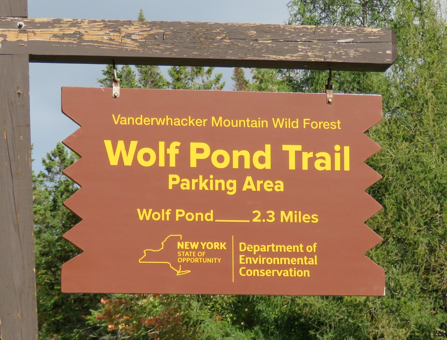
Vanderwhacker Mountain Wild Forest - New York Dept. of Environmental Conservation
DIRECTIONS:
GPS Coordinates 43.943569, -73.954438

TRAIL MAP:
Wolf Pond Trail Map - New York Dept. of Environmental Conservation
HIKE DISTANCE: 4.8 miles (2.4 miles each way)
THE HIKE:
 |
| The trail veers right from about the center of the parking lot. The trail veering left goes to a campsite. |
 |
| Crossing Wolf Pond Brook. |

 |
| The first mile of the trail is mostly soft pine needles through a gorgeous forest. |


 |
| Wolf Pond |
 |
| For a view of the high peaks you have to go out on the rocks. |

 |
| Heading back passing the lean-to at Wolf Pond. |


 |
| Snarfing down his dinner before the long ride home. |
Nice hike mates!!
ReplyDeleteNuk