ABOUT THE PARK:
Pequannock Watershed
- City of Newark
Highlands Trail Guide
- NYNJ Trail Conference
PERMIT REQUIRED FOR HIKING IN THE PEQUANNOCK WATERSHED.
See
THIS
hike for permit details.
DIRECTIONS:
GPS Coordinates 41.075300, -74.445260

|
P1 Parking at Clinton and Van Orden Roads. Only one spot at
the gate but there are other spots across Van Orden Road and a
little farther up on Van Orden.
|
HIKE DISTANCE: 9.8 miles
THE HIKE:

|
The white trail starts at the gate from P1 parking.
|

|
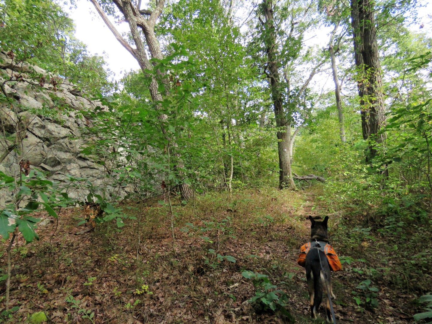
I had meant to take this blue trail, even took a picture of it, but blew
right past it staying on the woods road which from this point is not
blazed. That's OK, I'd capture that blue trail at the end of the
hike.
|

|
But for now ....
|

|
... an early morning view of Hanks Pond.
|

|
The unmarked woods road runs into blue/white although it is hard to tell
since there are no trail markers. We took the left fork and would
be returning from the right.
|

|
When blue/white ends, right on red/white for a very short distance then
...
|

|
... left on blue.
|

|
There has been a TON of trail maintenance along today's route for which
we are immensely thankful.
|

|
When blue ends, left on yellow to ...
|

|
... P2 parking where we turned right for a .8 mile road walk on Clinton
Road. I wanted to get that out of the way early while traffic was
light. Later in the day this is a busy road with cars zooming by
well over the 35 mph speed limit.
|

|
Fall color is arriving in the watershed.
|

|
Clinton Reservoir comes into view on the left.
|

|
I saw a beaver swimming in the reservoir and was able to get in one shot
before ...
|

|
... he went under and did not surface again.
|

|
Coming up on the boat launch which is always busy.
|

|
Clinton Reservoir from the boat launch.
|

 |
Just the other side of the bridge, left through ...
|
 |
... P3 parking to right on red.
|
 |
At the intersection with white, left on white.
|
 |
Clinton Reservoir Overlook
|
 |
White descends from the ridge and follows along Clinton Reservoir.
|
 |
White ends at Buckabear Pond where the trail used to cross over (the old route of the Highlands Trail) before it flooded out.
|
 |
A few steps back to the red trail.
|
 |
Where white crosses over, left on white.
|
 |
This section of the white trail had about 6 blow downs that we were able to get over/through. I was able to move two off the trail.
|
 |
Another overlook of Clinton Reservoir.
|
 |
There are still some old Highland Trail blazes visible from before it was rerouted.
|
 |
Things got a little confusing after this particularly difficult blow down. We went around to the left and lost the trail.
|
 |
Turns out the trail continues up the rocks just the other side of that blow down. At the time I saw no blazes but now looking at the picture I see a white paint blaze on the boulder on the left.
|
 |
At the top of the climb, more obvious blazes.
|
 |
At the T-intersection with this huge cairn we meet up with the Highlands Trail which goes both left and right. We turned right on the combined white/Highlands Trail.
|
 |
Through P4 parking then left on Clinton Road for a short distance.
|
 |
Right at the other P4 parking area continuing on white/Highlands Trail.
|
 |
Back on maintained trails, yay!
|
 |
When we hiked through here in July none of those big trees were down. Isaias would be responsible for that.
|
 |
Brodie in a perfect stand/stay (yay Brodie!) to show just how big those roots are.
|
 |
When white ends yellow joins the Highlands Trail. We turned left.
|
 |
Then right on blue.
|
 |
Blue joins red/white for a bit.
|
 |
I was allowed one blurry shot then she was off to resume her migration. I am thinking maybe female/immature Magnolia Warbler.
|
 |
Keeping left on blue when it leaves red/white in the jumble of rocks.
|
 |
Blue gets a little dicey in this area but we were able to figure it out an stay on track.
|
 |
Right on blue/white staying with blue/white when blue departed to the left.
|
 |
For the few blow downs we encountered on lesser used trails there were many more cleared on the rest of the trails.
|
 |
Hanks Pond
|
 |
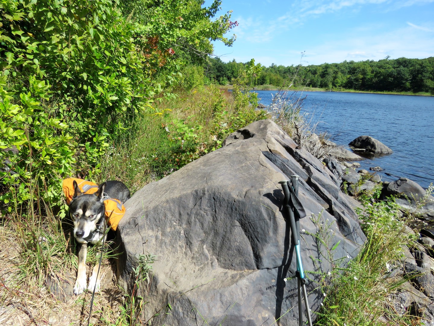
That boulder made a great resting spot and I could have sat there all day but...
|
 |
.... there had been sporadic gunfire in the distance and now it was very close so Brodie went into hiding because, you know, we were ALL GOING TO DIE!!!!!!!!!!!!
|
 |
When I finally untangled him he tried to crawl under the boulder. Sigh. Best we be on our way.
|
 |
Brodie took the lead after a while of cowering behind my bullet-stopping body but it was only to pull to get us to the car faster. He only pulls when there is gunfire. We had followed blue/white to the right when the unmarked woods road continued straight then turned left on red/white at the end of blue/white.
|
 |
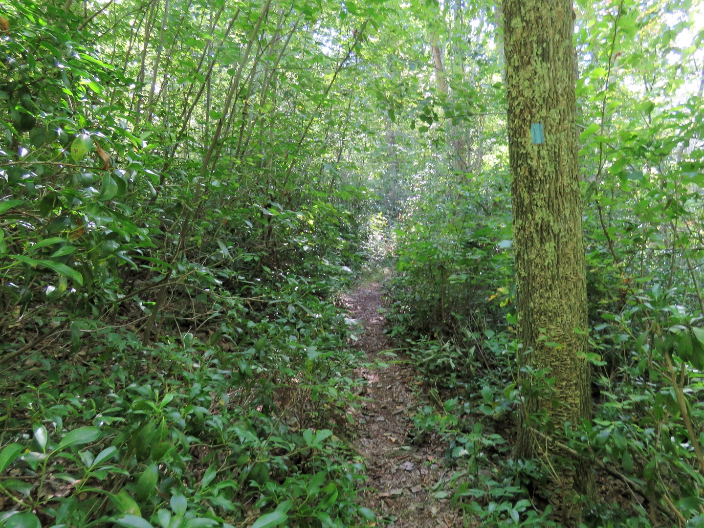
Then left on that elusive blue trail I had wanted to take at the beginning of the hike.
|
 |
It passes many ruins.
|
 |
At this huge blow down we went to the right to get around it ...
|
 |
... and encountered more ruins.
|
 |
Working our way around the ruins we met up with blue again just beyond the blow down.
|
 |
At the end of blue, right on white.
|
 |
Back to the safety of his car and wouldn't you know as soon as we got there the gunfire stopped.
|


No comments:
Post a Comment