Trexler Nature Preserve - Lehigh County
DIRECTIONS:
GPS Coordinates 40.65542, -75.61457
 |
| Parking lot at the Environmental Center entrance. |
TRAIL MAP:
Trexler Nature Preserve Map - Lehigh County
HIKE DISTANCE: 9.4 miles
THE HIKE:
It was a bitter cold day with temps in the 20's and 15-20 mph wind making for feel like temps in the teens. Plus there is a shooting range (Brodie is terrified of gunfire) just a mile away from the trail so best Brodie sit this one out.
 |
| The grandkids stopped by to let him out while I was gone and he loved that! |
 |
| There is a short access trail that leads to the Trexler Border Trail just to the right of the kiosk. |
 |
| At the intersection I went left to go around clockwise. |
 |
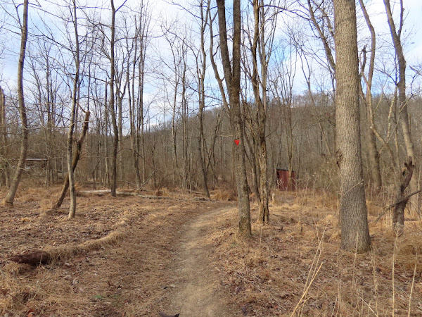
| This hike encompasses the true meaning of "the rolling hills of Pennsylvania." It is almost constant uphill and downhill. |
 |
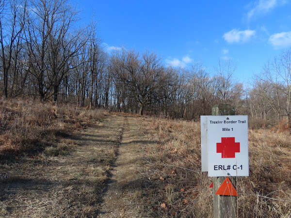
| There are mile markers every half mile. Where I started was between mile 8.5 and 8 and the count goes backwards so this is how many miles are left. The ERL# is an emergency locator number. |
 |
| It's almost constant views throughout. |
 |
| There are benches every so often but not sitting on metal in this cold weather! |
 |
| There are also shelters ... |
 |
| ... which are great for getting out of the wind while taking a break. |
 |
| A bit of a road walk ... |
 |
| ... to use the road bridge ... |
 |
| ... to cross over Jordan Creek. |
 |
| The trail resumes the other side of the bridge. |
 |
| It's a Sunday so there is no hunting. I did not know what those orange cannisters were for - there were a lot of them throughout the hike - but I found out later. |
 |
| Yes, it was THAT cold. But you warm up fast when you keep moving. |
 |
| An old corn crib just off of the yellow trail that comes in from the right is used as a bird blind but I used it for a break out of the wind. |
 |
| When I hiked here in 2011 there was no bridge so I had to turn back because the water was too deep to ford. Now there is a bridge so the border trail can be completed in its entirety. |
 |
| Jordan Creek |
 |
| The squiggly trails off to the side are mountain bike trails. They would not be good for hiking. |
 |
| Access to the mountain bike trails. |
 |
| The northern end of the trail runs along homes on a woods road. |
 |
| Going through this gate it's a short road walk ... |
 |
| ... to where the trail leaves to the left at a bend in the road. |
 |
| Lehigh Carbon Community College on the left. |
 |
| Zooming in to the bison herd in the distance. |
 |
| At the end the parking lot is on the left ... |
 |
| ... and the green LEED certified Environmental Center building is on the right. |
 |
| You can walk right up on the roof ... |
 |
| ... for views. |
 |
| There is a vegetative roof with solar panels. The building is made from recycled cinder blocks, the toilets use rainwater to flush and the windows are tilted so birds don't fly into them. |
 |
| Instead of heading to the parking lot on the drive, why not finish that tiny bit of the Trexler Border Trail back to where I started? |
 |
| Hanging at right at mile 0 ... |
 |
| ... then left on the access trail ... |
 |
| ... back to the parking lot. |


No comments:
Post a Comment