Holmdel Park - Monmouth County Park System
Bell Laboratories Holmdel - National Park Service (what it was)
Bell Works New Jersey - Bell Works (what it is now)
DIRECTIONS:
GPS Coordinates 40.365418, -74.183774
 |
| Ramanessin Section Parking |
TRAIL MAP:
Holmdel Park Brochure and Map - Monmouth County Park System
HIKE DISTANCE: 7.1 miles
THE HIKE:
 |
| Taking the Ramanessin Trail to the left. |


 |
| Ramanessin Brook |


 |
| Entering Bayonet Farm |


 |
| Turning left on a trail to Bell Works. This trail did not exist when I hiked here 10 years ago. Bell Laboratories was Lucent at the time but has since become Bell Works, a complex of offices, retail and dining open to the public. There is a path around Zen Lake that I wanted to check out. |


 |
| Heading back to Bayonet Farm. |


 |
| Following the edge of a field to Holmdel Middletown Road then following the field parallel to the road to ... |
 |
| ... an opening to the road. |
 |
| Turning right where there is an old cemetery a few steps ahead then a very short road walk around the bend up ahead to a break in guardrail. First the cemetery. |

 |
| Very old graves from the 1800's. |

 |
| Two Revolutionary War soldiers. |
 |
| After following around the bend in the road, right at the break in the guardrail. |
 |
| This leads to the Ramanessin Brook Greenway Nature Trail where we turned left. |


 |
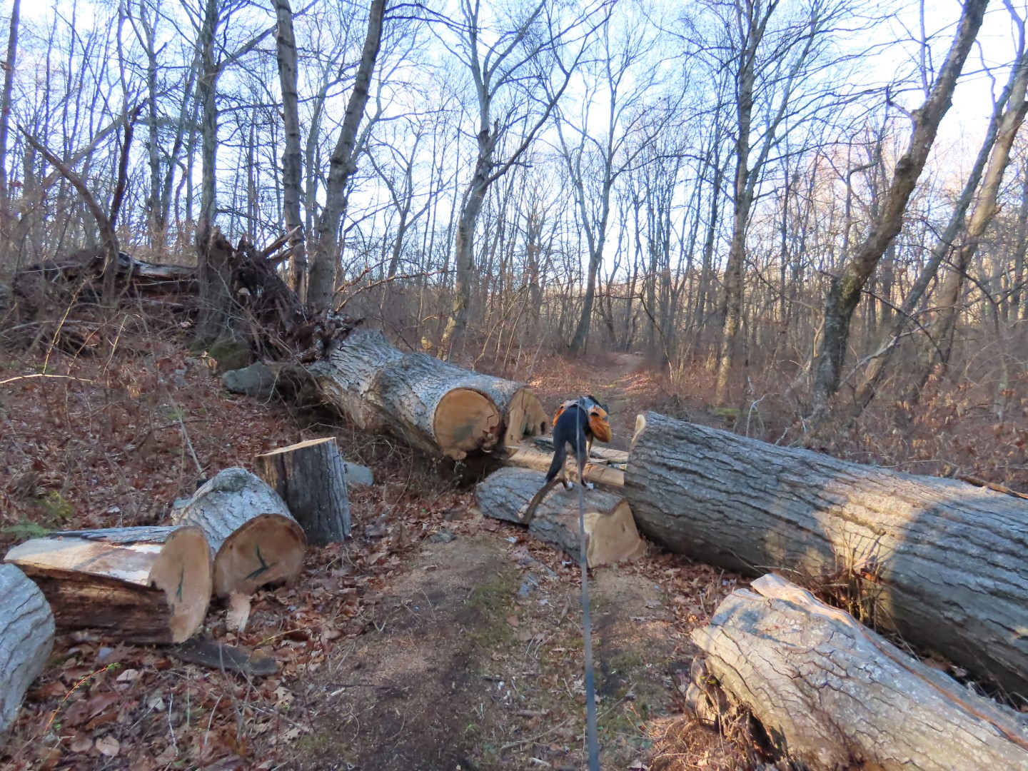
| Unfortunately a huge blow down blocked the path so we could not make it all the way to the end. |
 |
| Heading back. |


 |
| Taking the Steeplechase Trail. |


 |
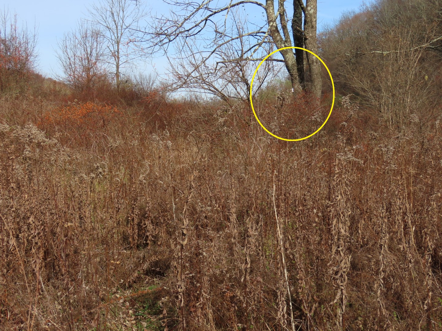
| Balloon #7 of the year. Remember when it used to be around #100 this time of year? Hopefully that means people have wised up and aren't releasing as many balloons. |

 |
| Nearing the parking lot there are some unmarked footpaths that are much nicer than the woods road back to the parking lot. |