ABOUT THE PARK:
Wawayanda State Park - NJDEP
PERMIT REQUIRED FOR HIKING IN THE PEQUANNOCK WATERSHED.
This hike is mostly in Wawayanda State Park where a permit is not required but the parking lot is a Pequannock Watershed lot so a permit is required to park there for this hike.
See THIS hike for permit details.
Loop Trails Coming to Terrace Pond - Trail Walker Summer 2020 (page 8)
Trail Improvements in Progress at Terrace Pond in Wawayanda State Park - NYNJ Trail Conference
Some maps I saw along the way explaining the article above.
DIRECTIONS:
GPS Coordinates 41.105758, -74.406189
 |
| Room for about 5-6 cars at the P8 parking lot. |
TRAIL MAP:
North Jersey Trails Map 116 - NYNJ Trail Conference
HIKE DISTANCE: 8.3 miles
THE HIKE:
 |
| From the parking area continue on Stephens Road beyond the gate with the No Trespassing sign. As long as you have your watershed permit you are good. |
 |
| Continuing uphill on Stephens Road with Pequannock Watershed property on the left and Wawayanda State Park on the right. |
 |
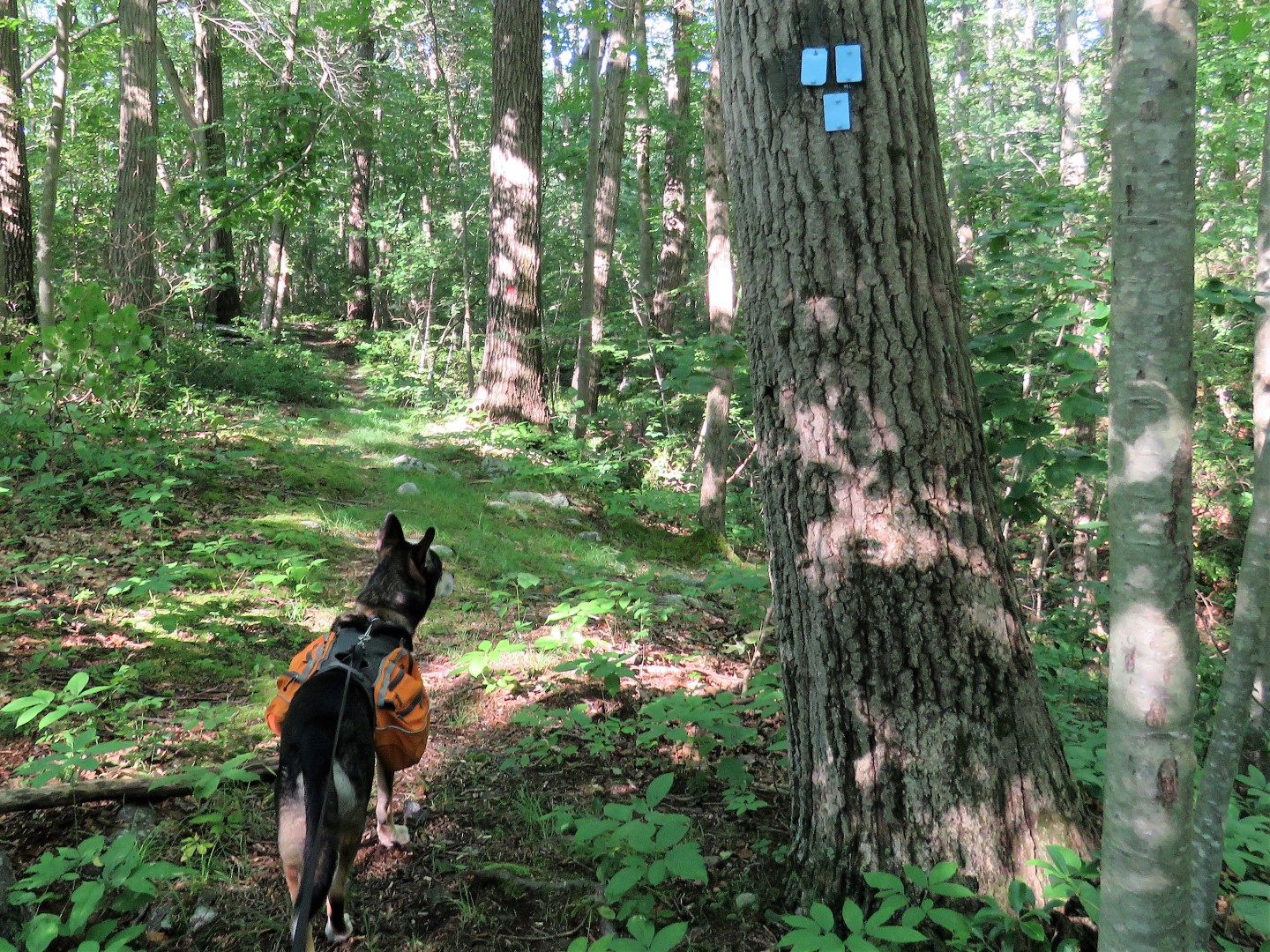
| Right on the blue Spring North Trail into Wawayanda State Park. (Note: This trail may not exist much longer. More on that at the other end of the trail.) |
 |
| I had recalled a short side trail to an overlook (not on the map) from years ago when I hiked here with Shawnee and the trail was still there. |
 |
| But the overlook is not. Maybe when the leaves are down. |
 |
| Back on the blue trail. |
 |
| At the bend in the blue trail, the maps showing the relocation. A new trail has been started straight ahead. |
 |
| We had just come in on the blue trail circled in red on the left. This trail is not shown on the reconfiguration map. Would be a shame to do away with it, it's a pretty trail. |
 |
| Continuing on blue. |
 |
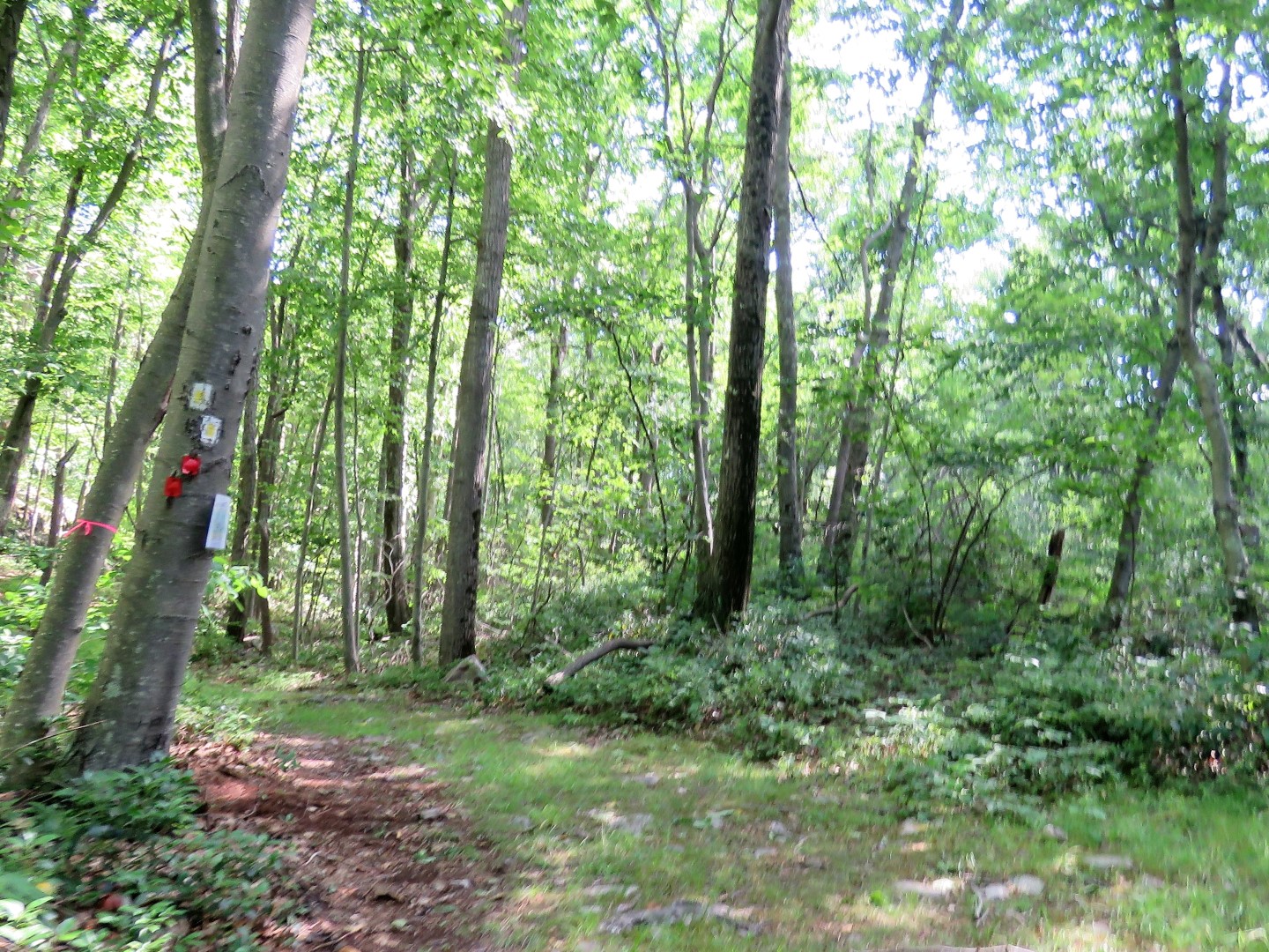
| Blue ends at red. I went straight on red without checking my map. A while later I wondered if I hadn't been on red an awfully long time, longer than I though I should be. So I checked my GPS and by golly, should have turned right on red instead. But I was half way to Stephens Road already so I quickly came up with a different plan (which turned out to be way better than my original plan) and continued on. |
 |
| Rhododendron! It was only this one bush that was blooming. |
 |
| I could tell there was a swamp over to the right but couldn't see much of it at all. |
 |
| Red ends at Stephens Road... |
 |
| ... but that gate on the right blocks the continuation along Stephens road, shown as a woods road on the map. This was the new plan. So right we turned. |
 |
| Continuing right on Stephens Road. It's all private property on the left, Wawayanda State Park on the right. |
 |
| Oh yes! Coming up on that swamp I could barely see from the red trail. |
 |
| It was a gorgeous swamp, called Bunker Hill Lake on GoogleMaps. |
 |
| Part of the swamp spilled across the dirt road but we didn't care, we slogged on through ankle deep water. |
 |
| The dirt road becomes grassy and forms a cul-de-sac-like loop just beyond the swamp so I thought we would have to turn back but wait, what is on the other side of this gate that is not posted no trespassing? |
 |
| After a little bit of an overgrown section the woods road is still there and it opens back up so on we went. |
 |
| We turned right at a second intersection. The first one we turned right on fizzled out and could not be followed (it's on the map) so we continued on until we hit this second intersection. |
 |
| It's a short distance before ... |
 |
| ... running into the yellow Terrace Pond South Trail where we turned right. |
 |
| The yellow trail follows a woods road to another swamp. |
 |
| Beacon Hill Lake |
 |
| Just past the swamp was another trail relocation map. |
 |
| We turned right on the yellow dot trail, soon to become part of the blue loop farther ahead. |
 |
| Red comes in from the left for a short distance ... |
 |
| ... then leaves to the right; we stayed right on red. (This is where yellow dot will become blue in the relocation.) |
 |
| At this point where blue starts on the left, we turned right on red. This is where I had come off of blue from the left earlier and kept straight on red instead of turning but had I not messed that up, I would have missed those two gorgeous swamps. |
 |
| Largest fungi I think I have ever seen. |
 |
| I really do lug water for him but he turns his nose up at it. Creek water tastes so much better than tap water, apparently. |
 |
| Passing by that one blooming rhododendron bush again. |
 |
| This time I got a shot of the back of that swamp. This is all that can be seen from the red trail |
 |
| A bear was here. |
 |
| Back at Stephens Road we turned left. |
 |
| Here we encountered one hiker coming uphill towards us and saw two people who did not look like hikers a short distance in on the blue trail where we had started. Those were the only others encountered this entire hike. |
 |
| I was surprised to see this many cars parked in the P8 lot. Only one car other than mine had a watershed permit decal. There was something going on at the horse farm straight ahead so I think most of the cars were from that. |