

South Mountain Preserve - Wildlands Conservancy
DIRECTIONS:
GPS Coordinates 40.55518, -75.47686
 |
| Roadside parking on Ithica Street at the playground. |
TRAIL MAP:
South Mountain Preserve Map - Wildlands Conservancy
HIKE DISTANCE: 10 miles
THE HIKE:
This hike is a counterclockwise perimeter loop.
 |
| The green Wilderness Trail starts at the kiosk on the far side of the playground. |


 |
| Right on the orange Alpine Street Trail to start the loop. |


 |
| At the Alpine Street access, left towards the kiosk... |
 |
| ... then right just after the kiosk. |
 |
| Crossing a street ... |
 |
| ... to the Robert Rodale South Mountain Greenway Trail. This will be an out and back with a loop at the far end. |


 |
| Klines Lane Parking |

 |
| Turning back to loop around the other side and retrace. |


 |
| Back across the road ... |
 |
| ... towards the Alpine Street access where we turned right ... |
 |
| ... to continue on the orange Alpine Street Trail. |


 |
| Brodie obviously cannot read. |
 |
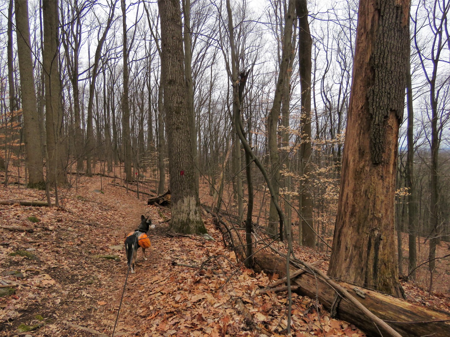
| The trail ascends South Mountain and becomes rockier. |


 |
| At the map ... |
 |
| ... right on the blue Uplands Trail. |


 |
| Keeping right when the Uplands Trail forks. |
 |
| Right on the yellow Mountain Top Trail. |


 |
| Crossing a power cut ... |
 |
| ... with a view. |
 |
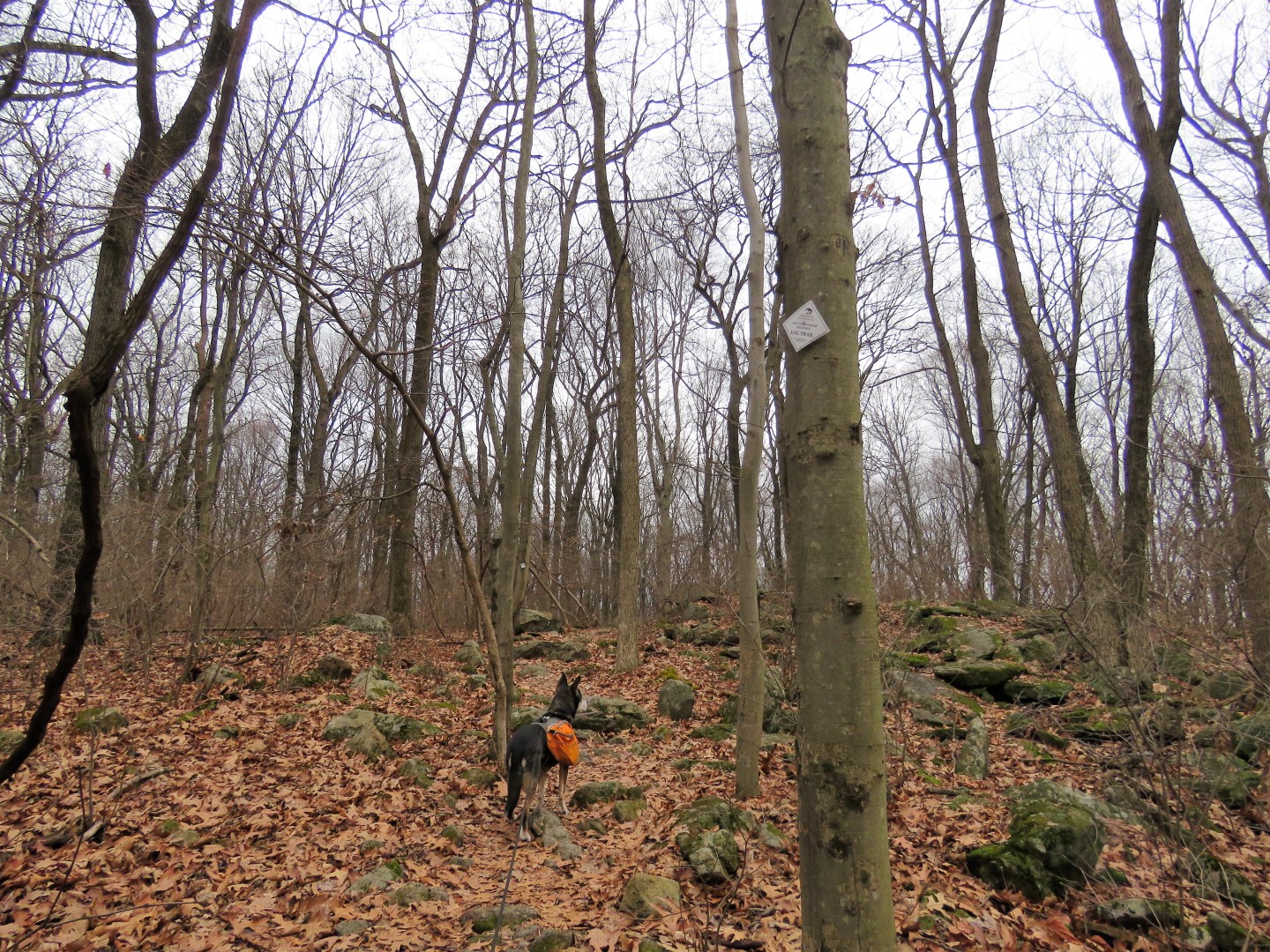
| Right on the Log Trail. |


 |
| Right on the Double R Trail. |


 |
| Right on the Log Trail. |

 |
| After crossing back over the power cut ... |
 |
| ... right on the Uplands Trail. |

 |
| Right on red Trout Run Trail. |


 |
| We packed out balloon #1 of the year. |
 |
| The Trout Run Trail will turn left heading towards the power cut. We'd meet back up with it later on coming up the power cut. For now ... |
 |
| ... straight on a purple trail that is not on the map. |


 |
| At it's end, the purple trail turns left to the power cut ... |
 |
| ... where we turned left then right at the fork. |
 |
| Unfortunately this part of the power cut had that loose chunky rock gravel that was incredibly hard to walk on. |
 |
| The red Trout Run Trail comes in to the left and joins the power cut. Just up ahead at the top of the rise ... |
 |
| ... the icky gravel power cut turns to the right and the Trout Run Trail continues as a footpath straight ahead. |


 |
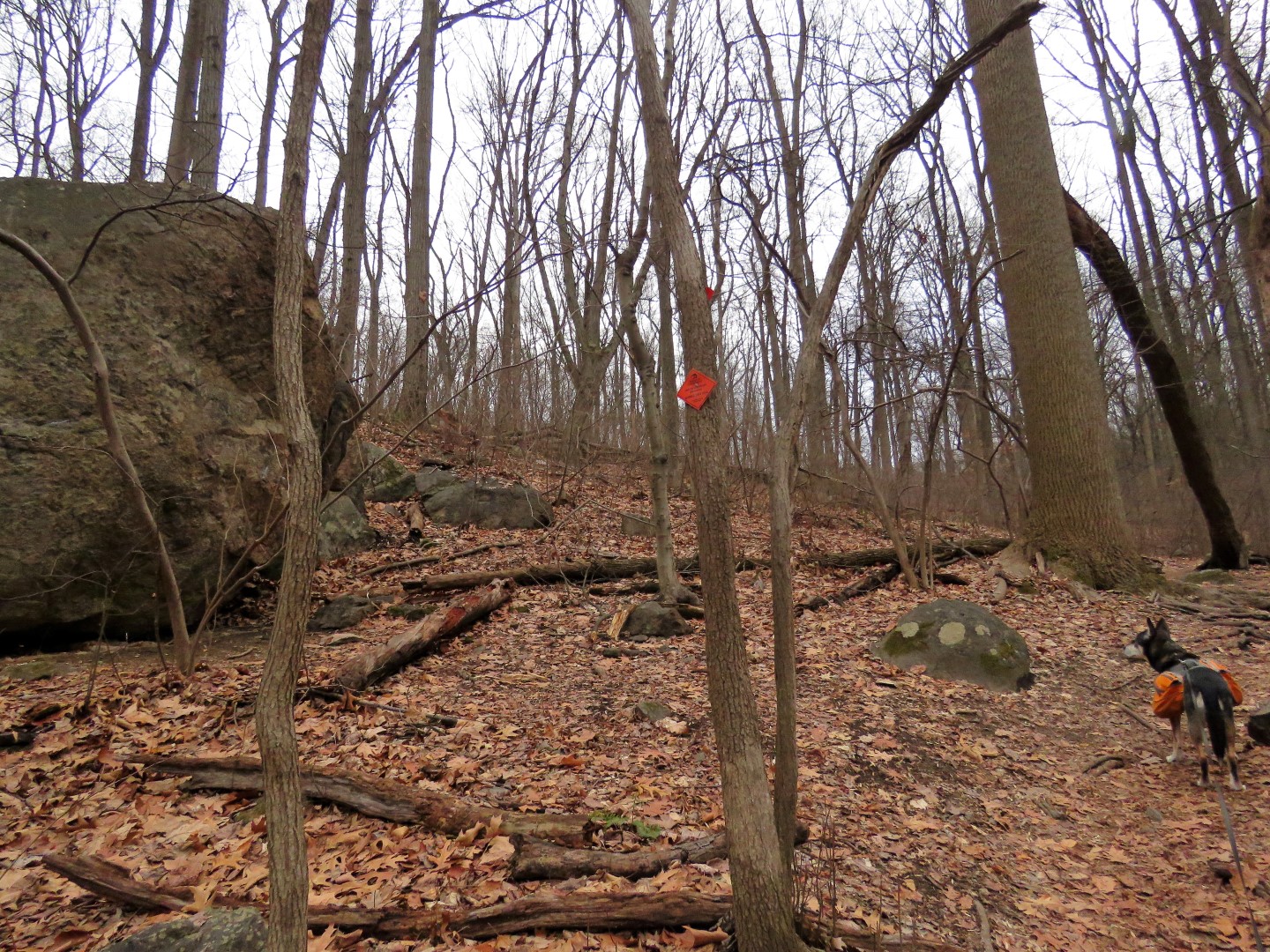
| Right on the Alpine Street Trail towards the boulder outcropping. |

 |
| Boulder Outcropping |

 |
| Right on the green Wilderness Trail ... |
 |
| ... to retrace back to where we parked. |


I may do this one this weekend. Did you have to ford any streams? Looks like a lot of different trails, hope I don't get confused!
ReplyDeleteThere are just a couple of really small creeks that can easily be rock hopped. Nothing more challenging than in the pictures. Just print out a map and you can download my track from Gaia by clicking on the lower right corner of the embedded map that shows the track. It's a pretty busy place on the western side, more remote with only a mountain biker or two on the eastern side so someone should come along that can guide you if you get confused but it's well marked and pretty straightforward. The trails are marked in loops so if you stay with one color it will bring you back to where you started. For me it was a lot of different trails since I hiked the perimeter and did not stay with any particular color of trail.
Delete