 ABOUT THE PARK:
DIRECTIONS:
GPS Coordinates 40.97237,-75.125159
.JPG) |
| Dunnfield Creek Parking Lot at 7 AM on a Monday. There is a shuttle service for weekends because it fills up fast. |
TRAIL MAP:
HIKE DISTANCE: 11.4 miles
THE HIKE: I hiked a similar counterclockwise route back in November, 2009. This time I went clockwise which offers a more scenic hike facing upstream along Dunnfield Creek and allows clouds and fog to burn off before getting to the Mount Tammany overlook, which is often fogged in early in the morning. This is not a hike I would ever do on a weekend again because of crowds so I took a day off work and went on a Monday.
 |
| Starting on the Appalachian Trail from the Dunnfield Creek parking lot. |
 |
| Leaving the Appalachian Trail to the right on the Dunnfield Creek Trail. |
 |
| The last time I was at this spot some picnickers had left a huge garbage bag full of picnic waste that I packed out since it was near the end of my hike. Not near as much trash here this day but I packed that out, or rather Brodie did in his backpack. There would be more odds and ends joining that before we got to the lesser used trails. |
 |
| We would be returning from the right, keeping left now. Most people return from Mount Tammany via the blue trail so from this point on there would be far fewer people, although on this morning we did not encounter anyone at all for the entire first half of the hike. |
 |
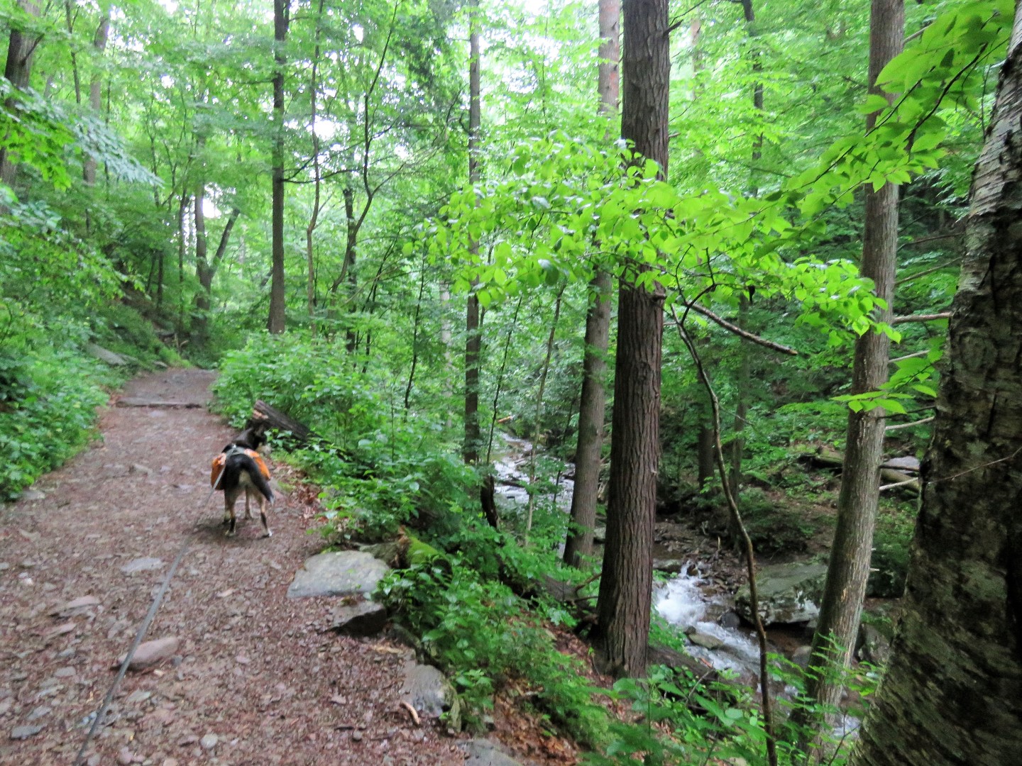
| The Dunnfield Creek Trail crosses the creek five times. After a night of rain, the crossings were all doable but it took some careful stepping. |
 |
| Creek crossing #2. |
 |
| Creek crossings 3 and 4 have a high water bypass but I wanted to see if we could cross first. |
 |
| We were able to get across both times. |
 |
| After the fifth crossing, the trail starts to veer away from Dunnfield Creek. |
 |
| Here the mountain laurel was in full bloom and was beginning to encroach on the trail. You can't get through this without getting soaking wet if it has rained the night before. I would know this because it rained the night before. Other than what was depositing water on me from both sides, I was using my trekking pole to knock down spider webs and would inevitably hit a low overhanging branch with it that would dump what felt like a bucket of water on my head. |
 |
| Mountain Laurel |
 |
| Crossing a swampy section. |
 |
| The ridge over to the right were we would be later. |
 |
| Nearing the end the trail becomes very rocky. |
 |
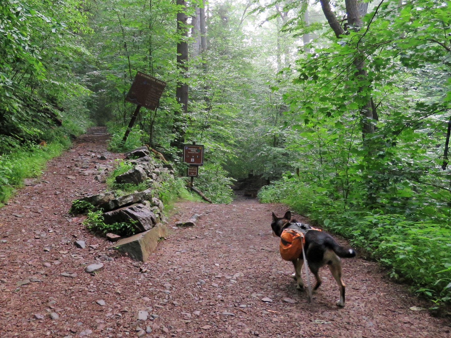
| At the end of the Dunnfield Creek Trail ... |
 |
| ... right on the Sunfish Fire Road. |
 |
| There isn't much of a view of Sunfish Pond along the fire road but we would get to that in a bit. |
 |
| Turning left on the Turquoise Trail. |
 |
| This comes out at a nice viewpoint on Sunfish Pond. |
 |
| Catbird |
 |
| Sunfish Pond |
 |
| After retracing back to the Sunfish Fire Road, we turned left where the blue blazes continued. This is now the Buckwood Trail but the sign would be at the other end. |
 |
| Leaving the fire road to the left on a footpath. |
 |
| This trail was very recently reblazed. |
 |
| The trail goes downhill and crosses a tiny creek/wet area that is Dunnfield Creek but does not resemble the first part at all. |
 |
| Heading back uphill, we ran into one other hiker coming our way, the first encounter of this hike. Thankfully that meant I no longer had to knock down spiderwebs. |
 |
| At the end, right on the Mount Tammany Fire Road. |
 |
| Turning around there is the sign with the trail name. |
 |
| The Mount Tammany Fire Road is not blazed and is mostly grassy woods road although pointy rocks lurk beneath and can't be seen until you step on them. |
 |
| Sometimes the road becomes a bit overgrown but it is always passable. |
 |
| Little snippets of views to the left but it was a humid, hazy day. |
 |
| About half way along the fire road, a cairn marks a trail to the left that is not on the map so we checked it out. |
 |
| It leads to a little bit of a view then continues to descend steeply so we turned back. With the Lakota Wolf Preserve down below, we could hear many, many wolves howling. Brodie's ears certainly perked up at the sound - the language of his people. |
 |
| This clearing ... |
 |
| ... is a helipad that is very overgrown. |
 |
| We encountered three more hikers along the way. These would be actual hikers because the casual visitor would most likely not venture out here unless lost. |
 |
| At the intersection where we would be taking the Pahaquarry Trail (renamed Blue Dot Trail?) we only had .3 miles to the Mount Tammany overlook so that is where we headed first, entering the land of the casual visitors where you might find loud music playing, litter, flip flops, oh, we have seen it all here. |
 |
| That is after taking an unmarked trail on the left to ... |
 |
| ... a really nice overlook. |
 |
| At the overlook there were a few others but I can't even imagine what this looks like on a weekend. I once packed out a loaded baby diaper from this spot. Today it was two rotten bananas which could have turned us into bear bait (certainly bug bait) so I declined to pack that out. |
 |
| Mount Minsi from Mount Tammany. |
 |
| Heading back ... |
 |
| ... and turning left where we had come off of the fire road from straight ahead. |
 |
| This trail is very rocky almost all the way down and descends steeply at times. |
 |
| At the bottom of the trail, left on the Dunnfield Creek Trail ... |
 |
| ... keeping left on the Applachian Trail. |
 |
| Returning to a much busier parking lot. |
Other than the profusion of blooming mountain laurel, spring wildflowers were almost all gone except for some dog roses on Mount Tammany.

 ABOUT THE PARK:
 .JPG)


I am familiar with those trails, that was quite a hike! Thanks for sharing.
ReplyDeleteThanks for your vivid pictures and interesting narrative. I can't hike many miles nowadays but your pictures always let me enjoy the hike vicariously and put me in the mood to get out and do whatever I can handle in the next day or two. Seeing Brodie in the photos always adds more interest.
ReplyDeleteThe Lakota Wolf Preserve is next to Camp Taylor, which is a fun campground if you wish to hike in the area. There is an unmarked trail from Camp Taylor that passes the preserve and heads up the mountain to connect with the Sunfish fire road.
ReplyDeleteThat must be the trail I took off the fire road that went down steeply. I figured that is where it went.
Delete