ABOUT THE PARK:
DIRECTIONS:
GPS Coordinates: 41.50250, -74.54907
.JPG) |
| There are several parking lots to choose from. This is a lesser used lot since there is no boating access. Lots with boating access get busier. |
TRAIL MAPS:
HIKE DISTANCE: 17.7 miles
THE HIKE:
The plan was to hike north along the eastern side then return on the western side for a 15-mile loop hike. Contrary to what the maps show, the trail heading south on the western side becomes overgrown and impassable with no way to get to the other side of Route 17. The eastern side, however, is very scenic and doing it twice is just double nice.
 |
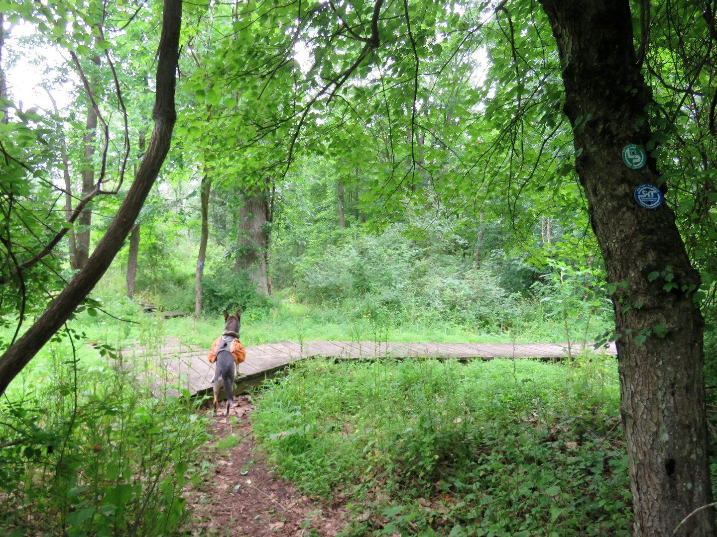
| From the parking lot, right on the trail which has blue DEC markers, SRT markers and Long Path markers. This is the abandoned O&W rail bed. |
 |
| It was foggy over Basha Kill early in the morning. |
 |
| Some short sections become a bit overgrown but still passable. |
 |
| The trail leaves the old rail bed to the left through a more scenic area but it's not so noticeable since the rail bed becomes overgrown and impassable where the trail turns. |
 |
| There is a viewing platform along the way. |
 |
| Views from the platform along with ... |
 |
| Eastern Kingbird |
 |
| and a Bald Eagle in the mist. |
 |
| The trail rejoins the rail bed. |
 |
| There are always bridges over channels. |
 |
| Crossing the boating access parking lot. |
 |
| Sometimes there are railroad ties in the trail. |
 |
| There were tons of teenage wood ducks around that would scream and swim into the vegetation as soon as they heard us coming. |
 |
| Just before Haven Road, the Diamond Trail starts to the right. |
 |
| We took advantage of the picnic table to have breakfast. |
 |
| The trail continues on to the Mamakating Environmental Center where it loops around. |
|
 |
| Back on the rail bed crossing a bridge to ... |
 |
| ... Haven Road where we turned left to see the views from the bridge. |
 |
| Back on the trail which is a gravel access road to ... |
 |
| ... another parking lot. |
 |
| After the parking lot, it is back to dirt and grass path. |
 |
| A side trail on the left ... |
 |
| ... leads to another viewing platform. |
 |
| The path continues around rejoining the rail bed. |
 |
| There is a short section where the trail is very rutted and muddy ... |
 |
| ... but there is a bypass around that to the left. |
 |
| A culvert under Route 17. |
 |
| The rail bed ends at South Road where the Long Path turns left. |
 |
| It's a little bit of a road walk from this point to head into Wurtsboro, which was my desination. |
 |
| Just after a school on the left, the Mamakating Rail Trail which is where we would be coming back to after lunch. |
 |
| For lunch we continued on a short distance, crossed over Sullivan Street then turned left a few steps to ... |
 |
| There is covered outdoor dining where there was a heavenly breeze ... |
 |
| ... and where dogs are allowed! |
 |
| The food was excellent. I had the Vegan BLAT Sandwich: flavorful vegan chicken with ripe avocado, tomatoes, romaine lettuce & crispy maple-glazed vegan bacon, dressed with a delicious tomato aioli on our home-style rustic sourdough toast. served with field greens side salad (copied from the online menu). |
 |
| Brodie loved the vegan bacon. I had to share my meal with him (he LOVES veggies) because it was just too much for me to finish alone. The staff also brought treats out for Brodie as well as his most favorite thing ever - a banana! |
 |
| Done with lunch (and stuffed) and heading back to the Mamakating Rail Trail where we turned right. |
 |
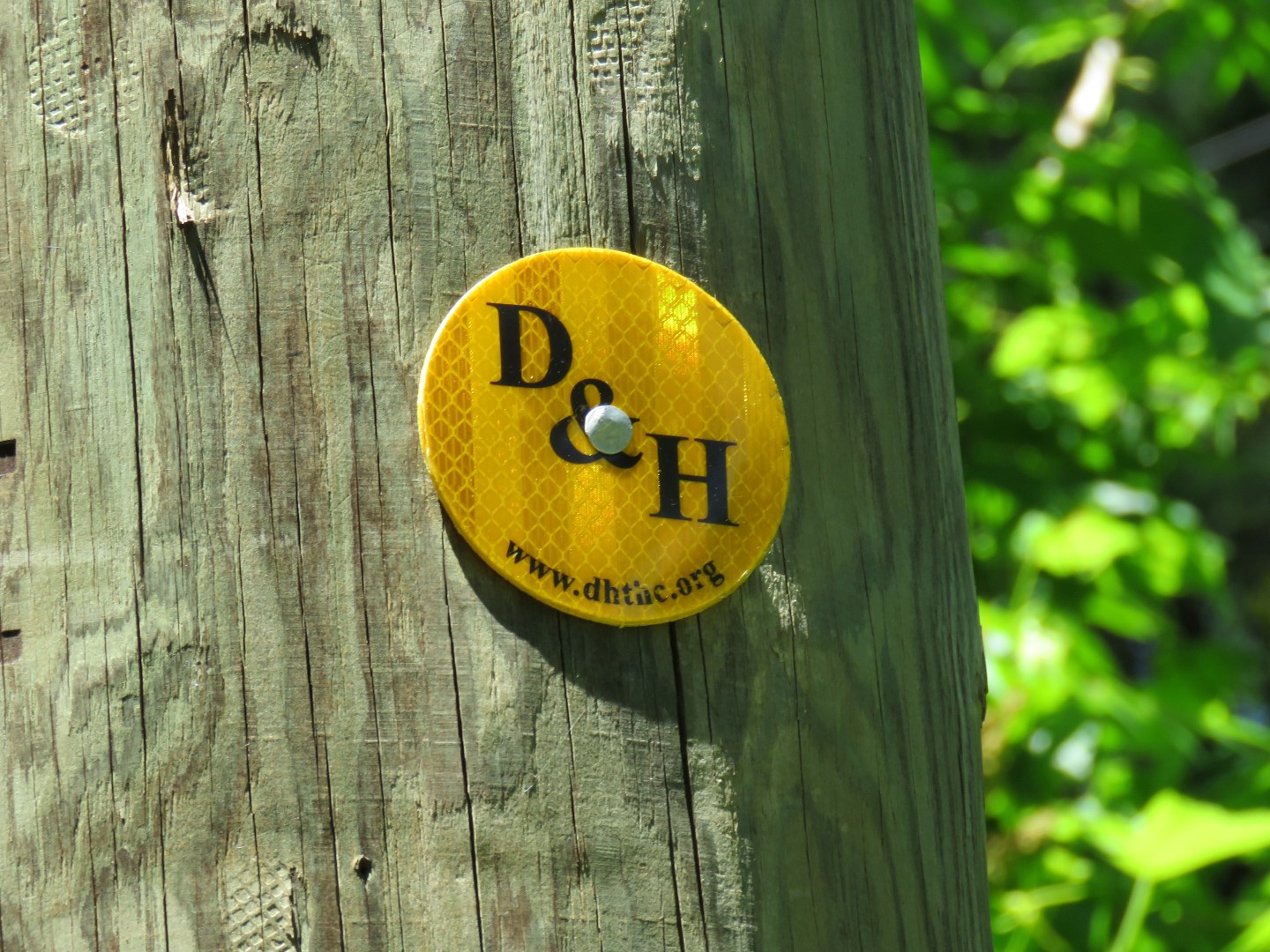
| This follows the Delaware and Hudson Canal. |
 |
| The trail splits with a more manicured trail to the right which leads to a town park. We would go that way later but staying with the D&H Canal, we continued straight. |
 |
| It goes through a construction site (?) ... |
 |
| ... then continues as a towpath. |
 |
| Balloon #15 of the year. |
 |
| While there is a distinct footpath, it becomes overgrown. |
 |
| We hacked through to find a section of the canal that is still there. But soon after the trail became impassable at Route 17 so we headed back. |
 |
| Turning left at the manicured trail to check that out. |
 |
| Heading back. |
 |
| We took a very long break at this bench because we still had a good 6 miles left to go and it was very hot in the sun. |
 |
| Fortunately South Road was mostly shaded for the road walk portion. I had seen a turtle crossing up head and was walking faster to help him cross before a car came but fortunately he made it over before I got there. |
 |
| Really glad this little snapper did not need any help. |
 |
| Back on the rail bed. |
 |
| Heading this way, where the trail turns right to that first observation platform, I decided to go straight to cut off a few steps for the return route - we were hot and tired! |
 |
| Apparently this was the old route of the Long Path. At this sign is where the rail bed became impassable but there was a trail back over to where the Long Path is now so it ended up working. |
 |
| We really happy to reach my car and turn on the A/C! |
Wildflowers seen on the hike:


.JPG)


Great descriptions as always. The Basha Kill is one of my favorite sections of The Long Path. One question: do you have any idea if the D&H Canal Path is passable south of Haven Road? If so, that might be the best way to make a loop out of this hike, though you'd be omitting the northern section into Wurtsboro.
ReplyDeleteThanks! I was considering that as an option but after what I ran into on the north side I was kind of glad I did not try. Some maps show trails there (as they do north where I tried) and in other places I have seen the D&H shown as "under development". There was one track in Gaia from someone who did it previously but it looked to me like they had done it on horseback. Figuring horses can go where I can't, that made me rethink going that way also. Besides, I had seen that restaurant and thought it would be really cool to hike there for lunch and it was!
DeleteThanks. I can totally understand and agree with your decision. It was the same reason I didn't try it myself. Would be a really miserable and potentially risky experience if you hiked several miles south only to learn that the last mile (or last few hundred yards!) were impassable and had to double back.
DeleteLovely Pictures, what a hike on a hot day! Thank you for the wildflower pictures with names, very nice.
ReplyDeleteThanks! It wasn't too bad in the shade but definitely hot in the sun.
Delete