

Onondaga Cave State Park - Missouri Department of Natural Resources
DIRECTIONS:
GPS Coordinates 38.06107, -91.22609
 |
| Visitor Center/Cave Tour Parking - Cave tours are from April through October so this time of year the parking lot is empty. |
 |
| Vilander Unit Parking a 10-mile drive away: 38.09788, -91.13083 |
TRAIL MAP:
Missouri State Parks only has maps by trail online, not a full map showing all trails. These are usually available at the park although I did not notice any while I was there. This hike covers all of the trails.
HIKE DISTANCES:
Onondaga Cave State Park - 9.2 miles
Vilander Unit (10 mile drive) - 1.7 miles with bushwhack
THE HIKE:
 |
| The trees around the parking lot were loaded with vultures. We would be seeing them again later in the hike. |
 |
| Starting off on the paved Blue Heron Trail. |
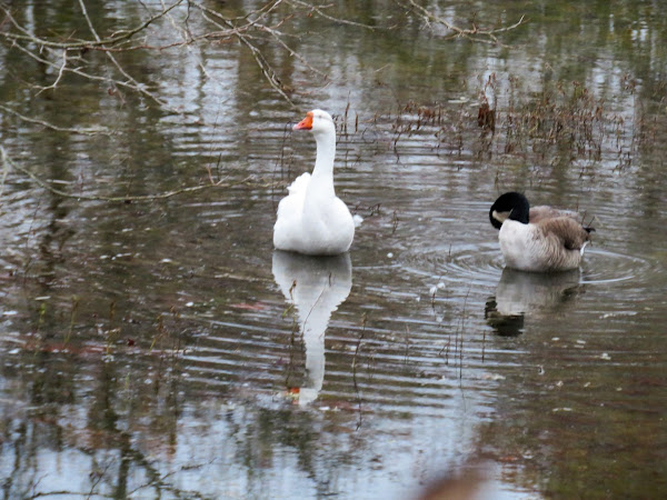 |
| A mismatched pair that would still be there at the end of the hike, apparently bonded and staying together. I am guessing the wild Canada goose did not migrate because the domestic white goose doesn't migrate so he stayed behind. |

 |
| Grebe |


 |
| At the end of the Blue Heron Trail, jog right, left then right again into the campground. |

 |
| The White Oak Trail starts on the right a short distance through the campground. |
 |
| We stayed right when the trail split to do the outer part first. |

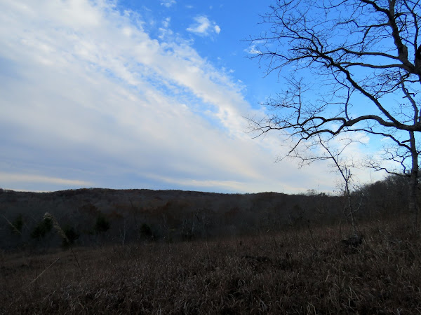 |
| It rained overnight and on the drive in but at the edge of those rain clouds, nice blue sky for the rest of the hike. |

 |
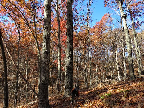
| Sometimes the trail was clear ... |
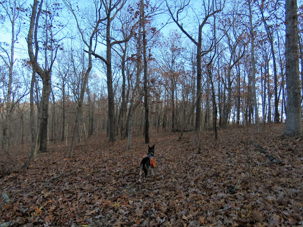 |
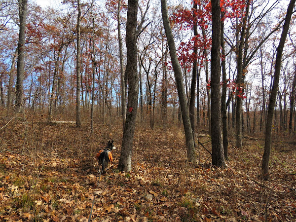
| ... other times invisible with thick leaf cover but Brodie knew where the trail was. |
 |
| A bench for a break. |

 |
| Here we turned right on the while connector trail over to the green trail. We would be retracing this back later to finish the red loop. |


 |
| At the green trail we turned right to continue the outer parts of the trails and would loop completely around back to this point. |


 |
| Coming up on views of the Meramec River. |


 |
| Here is where those vultures overnighting in the parking lot spend their days. |


 |
| Back at the campground, we stayed on the green trail to now hike the inner parts of the trail loops. |

 |
| This looked out of place and I never imagined ... |
 |
| ... this would be Cathedral Cave. I was expecting a big rock formation where the cave would be underground but instead it's a manmade structure. |
 |
| A right on white to retrace the connector trail. |

 |
| Right on red to finish the red loop. |

 |
| Packed out balloon #24 of the year. |
 |
| There had been very strong winds over the past few days that apparently blew this cute little nest down. |

 |
| Coming back to the campground having completed the loop. |
 |
| A left on the campground road ... |

 |
| ... back to the Blue Heron Trail where we stayed straight on the road. |


 |
| There is the goose pair. So sweet. |


 |
| Back at the parking lot then a 20 minute drive over to ... |


 |
| Shortly after this bench when the trail makes a sharp left ... |
 |
| ... I had heard you can bushwhack out to the bluffs. I really did not see anything so we just went back to the trail. |
 |
| A tiny bit of a countryside view. |

 |
| Back on the trail. |


Vultures....I always feel like they're watching me, waiting for me to drop.
ReplyDeleteYeah, right? Especially at the top of cliffs, just waiting for SPLAT!
Delete