

Friendship Hill National Historic Site - National Park Service
DIRECTIONS:
GPS Coordinates 39.77466, -79.92705
 |
| Trailhead Parking |
TRAIL MAP:
Friendship Hill National Historic Site Trail Map - National Park Service
HIKE DISTANCE: 7.3 miles
THE HIKE:
Hike two on day two of the drive back to New Jersey from Missouri.
 |
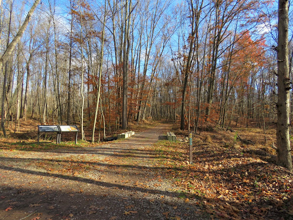
| From the trailhead parking lot, taking the green Main Loop. |


 |
| Right on the red Hidden Meadow Loop. |


 |
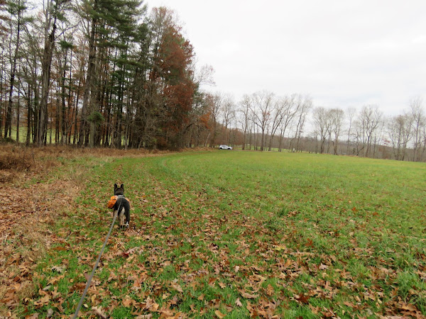
| Continuing on the green Main Loop behind a park vehicle. |
 |
| This information sign on the left and ... |
 |
| ... the cemetery on the right. |


 |
| Continuing on the green Main Loop. |


 |
| The trail starts to run parallel to train tracks ... |
 |
| ... where a trail loaded with coal (from West Virginia coal mines?) passed by. |
 |
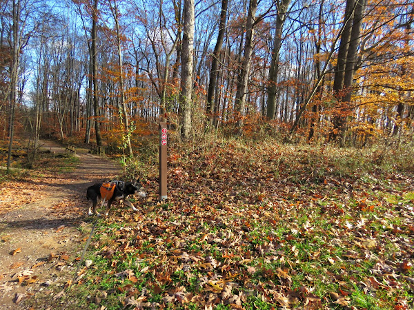
| A hard left on the yellow North Cutoff trail to the red Inner and North Meadow Loops before returning to this spot. |


 |
| A bench at the end of the loop up ahead for a break. |
 |
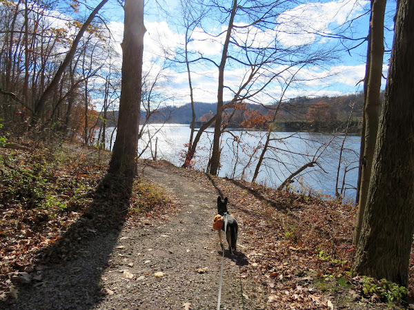
| Continuing on the green Main Loop, the trail comes up on the Monongahela River. |

 |
| Step to the left that go up ... |
 |
| .... and up ... |
 |
| ... and up. |
 |
| The red South Meadow Loop was the only trail we did not hike as I thought we might be running short on time. |


 |
| I knew this was Sophia's grave based on the map but did not know who Sophia was until the informational sign a distance ahead. |


 |
| Gallatin House |
 |
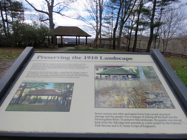
| Monongahela River overlook ... |
 |
| ... from the gazebo. |


 |
| Gallatin Sculpture |

 |
| Taking the red Ice Pond Run Loop ... |

 |
| ... to the Trailhead Loop back to the car. |
No comments:
Post a Comment