Cook Forest State Park - Pennsylvania DCNR
DIRECTIONS:
GPS Coordinates 41.346304, -79.218453
 |
| Longfellow Trailhead Parking |
TRAIL MAP:
Cook Forest State Park Map - Pennsylvania DCNR
Cook Forest - Clear Creek Map - Purple Lizard Maps
HIKE DISTANCE: 9.6 miles
THE HIKE:
Travel Day 1 hike on my semi-annual trip from New Jersey to Missouri.
 |
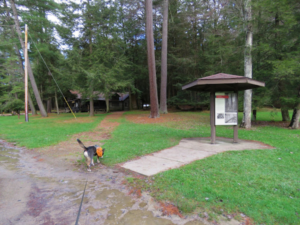
| From the parking lot, heading towards the Log Cabin Environmental Learning Center ... |
 |
| ... where the Longfellow Trail begins. |
 |
| Memorial Fountain |
 |
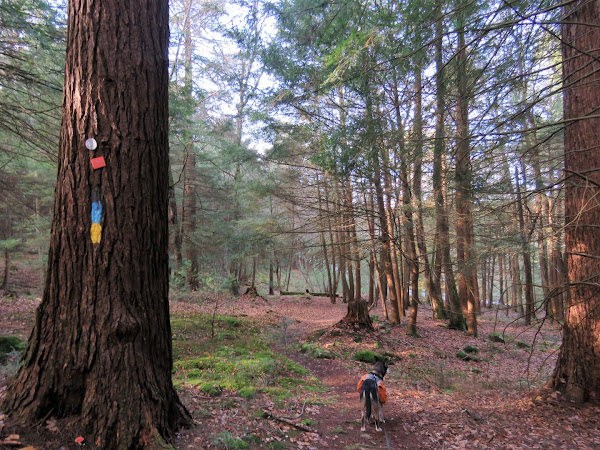
| All of the trails are blazed yellow. Yellow and blue means the North Country Trail follows the same path. |
 |
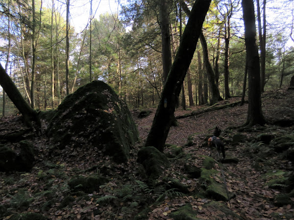
| Forest Cathedral Natural Area |
 |
| Ancient Forest Trail |
 |
| It looked like most of the ancient trees were no more. |
 |
| The Purple Lizard map denotes points of interest with a lizard so we headed left on the Joyce Kilmer Trail a short distance to check this one out. |
 |
| It's an American chestnut snag. |
 |
| Coming off of the Indian Trail at the cabins ... |
 |
| ... and continuing past the park office. |
 |
| A left on Route 36 a short distance then crossing over just before the guardrail ... |
 |
| ... to the Seneca Trail. |
 |
| Where we had just been in the Forest Cathedral is the most popular area of the park but this side of Route 36 tuned out to be my favorite part. |
 |
| The Clarion River on the left. |
 |
| Heading towards ... |
 |
| Seneca Point |
 |
| Next to the fire tower. |
 |
| I was hanging on for dear life and white knuckling all the way up. |
 |
| I kept going higher and higher, well past 3 flights. |
 |
| I didn't realize how close to the top I was but at above tree level I figured I had better not push my luck. |
 |
| Heading back down. |
 |
| On to the River Trail. |
 |
| This little guy had better get to hibernating. It was in the 40's. |
 |
| At the bottom, the River Trail follows along the Clarion River. |
 |
| The River Trail turns left uphill but we would be going that way later. First straight for a while to another point of interest. |
 |
| The river views were better along this section. |
 |
| Except for these gas lines but they were confined to a small area. |
 |
| Henry Run Sawmill Dam - our turn around point. |
 |
| Now taking the River Trail up. The topography on the map makes it look very steep but ... |
 |
| ... it's a wide woods road all the way up and only gets as steep as woods roads get. |
 |
| At the top, a jog on the Fire Tower Road ... |
 |
| ... to continue on the River Trail. |
 |
| Here there are orange markers on the trees. |
 |
| Working our way along the Tom's Run Trail on the final stretch, the trail crosses Tom's Run on bridges a few times. |
 |
| Uh oh. This was not expected and we were so close to finishing. |
 |
| On our way to retrace and find another way, I came across what appeared to be an old trail and tried that. |
 |
| Someone on the left was not expecting to see us here. |
 |
| It was indeed an old trail that still had a little footbridge. |
 |
| It led us right back to the Longfellow Trail where the entrance was blocked off by logs. Seems they should have reinstated the defunct trail with the bridge closure. |
 |
| Retracing from the beginning of the hike. |
 |
| It was around 5 PM and were were the only ones left. |
 |
| On to the motel in Youngstown, OH for some R&R. |


No comments:
Post a Comment