

Windham-Blackhead Range Wilderness - NY State DEC

DIRECTIONS:
GPS Coordinates 42.25274, -74.05336
 |
| Parking on the left at the end of Stork Nest Road; room for about 4 cars. |
Northeastern Catskills Trails Map #141 - NYNJ Trail Conference
HIKE DISTANCE: 11.4 miles (5.7 miles each way)
THE HIKE:
I last hiked this area way back in August 2010 approaching North Point from North South Lake. That is the more crowded way to North Point. Today's hike was the approach very few take as evidenced by the dates in the trail register.
 |
| Only 28 people signed the register since 8/1/21. I was the only one on 10/21/21. |
 |
| The trail starts at the end of Stork Nest Road ... |
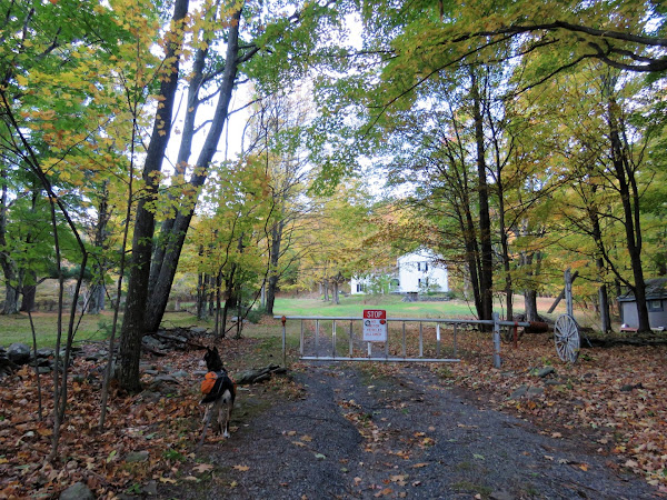 |
| ... beyond the gate and right through the yard of this property on an easement. |
 |
| Be sure to stay on the faint road into the woods... |
 |
| ... then continue on the easement for quite a while with private property on either side. |

 |
| A short distance in, the trail register just before a bridge over a creek. |

 |
| The old road starts to become more and more eroded. |
 |
| There will be a trail just to the side of the road when it becomes totally washed out and full of blowdowns. |

 |
| It's uphill all the way for 2 miles. |
 |
| Entering state land, no more private property from this point on. |
 |
| The road will turn to the right about half way up. |
 |
| Nearing the top the road becomes smoother again and the trail is on the road the whole time. |


 |
| At the top at the intersection with the Escarpment Trail/Long Path. |

 |
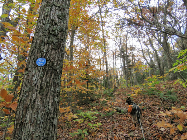
| We turned left heading south. Here is the only place there will be a Long Path marker but it is all Long Path the rest of the way. And the uphill climb is nowhere near over. From this point on the ascents become steeper but much shorter with breaks of flat trail in between. |


 |
| There are many rewards of views along the way. |
 |
| Taking a break at Milt's Lookout. |

 |
| Passing by the airplane wreck of May 26, 1983. |
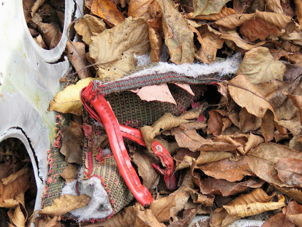 |
| There is some fabric left from the seats. |
 |
| The pilot was killed so it makes it all the more vile that some people deemed it appropriate to carve graffiti on the wreckage. |
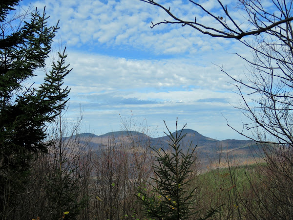 |
| Views of the Blackhead Range: Thomas Cole Mountain, Black Dome Mountain, Blackhead Mountain. |
 |
| Most people turn back here for an 8-mile hike but for us it was on to North Point. |
 |
| More views along the way. |

 |
| Passing through a gorgeous conifer forest. |


 |
| A view of North Sough Lake with the Hudson River in the distance but this is not North Point yet. |
 |
| Its a little farther along to ... |

 |
| View from North Point. |
 |
| Heading back. |


 |
| Passing back by the plan wreck that is literally right on the trail. |
 |
| Some foliage down below ... |
 |
| ... with a red-tailed hawk passing by. |


 |
| Arizona Mountain up ahead. |
 |
| Back at the intersection ... |
 |
| ... where we turn right to retrace down the Dutcher Notch Trail. |


 |
| Coming back out at the white house ... |
 |
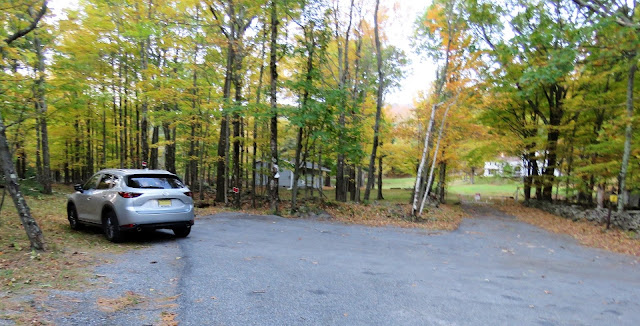
| ... and back to the parking area. |
Beautiful hike. Love the fall colours!
ReplyDeleteI'm a little sad that we won't be able to finish hiking all of the trails in the Catskills. So many hikes, so little time.
ReplyDelete