

DIRECTIONS:
GPS Coordinates 40.979776, -75.141934
GPS Coordinates 40.979776, -75.141934
 |
| Lenape Lake Parking - Note that parking has changed from years past. There is now a one-way entrance and one-way exit and there is no longer ANY parking allowed along the road (thank goodness - that was a hot mess the last time I was here). So if you don't get here early enough to get a place to park in this lot or the smaller second lot, you don't hike. |
TRAIL MAP:
NY/NJ Trail Conference - Kittatinny Trails Map #120
HIKE DISTANCE: 8.1 miles
THE HIKE:
I had hiked the traditional Mt. Minsi loop going up the Appalachian Trail and down the fire road and I had hiked Mountain Road separately so I knew the two could be linked to form a loop so this hike combines those into a quieter loop that avoids the crowds that Mt. Minsi draws. But you still have to get there early enough to nab a parking space.
 |
| Starting on the Appalachian Trail from the parking lot. |

 |
| Lake Lenape - The drive in was clear blue skies but the Delaware Water Gap was under a cloud so it was very foggy early on. |
 |
| The AT goes left, right is the fire road where people usually return but we won't be doing that. |
 |
| Rhododendron just starting to bloom. |


 |
| This is an overlook. You'll just have to trust me on that. |


 |
| This little guy was in the middle of the trail ... |
 |
| ... so I moved him off to the side. |

 |
| The sun! Looks like we are coming up out of that cloud. |
 |
| Brodie, the bigger person, packing out litter. |
 |
| And yes, up out of that cloud just in time to see ... |
 |
| ... the view of Mt. Tammany. |


 |
| Delaware River from the next overlook. |
 |
| Continuing on the Appalachian Trail as a smooth woods road. |
 |
| A short trail to the left leads to more views. |

 |
| I didn't know it at the time since it was a last minute decision at the end of this hike, but we would be walking across that first pedestrian bridge later on. The second bridge is Route 611. |


 |
| The AT leaves the woods road as a foot path to the left. |

 |
| Gas pipeline views. |
 |
| Back into the woods on the AT ... |
 |
| ... the right on a gravel road when the AT crosses over. |
 |
| This gravel road leads all the way down ... |

 |
| ... past the small Tott's Gap Road parking lot. |
 |
| We continued on Tott's Gap Road past two gated woods roads on the right. A little while after this boundary marker ... |
 |
| ... right on Mountain Road. |

 |
| There are lots of puddles full of tadpoles to navigate around. |
 |
| Honeysuckle |

 |
| This pond was our break spot. |
 |
| I sat taking pictures of this Eastern Phoebe ... |
 |
| ... then this dragonfly skimming the surface of the pond for lunch when all of a sudden that Eastern Phoebe swooped down and that dragonfly became lunch :( |


 |
| Wood Thrush |


 |
| After the gate we turned right at a yellow gate ... |
 |
| ... then left and crossed over on the dam. |

 |
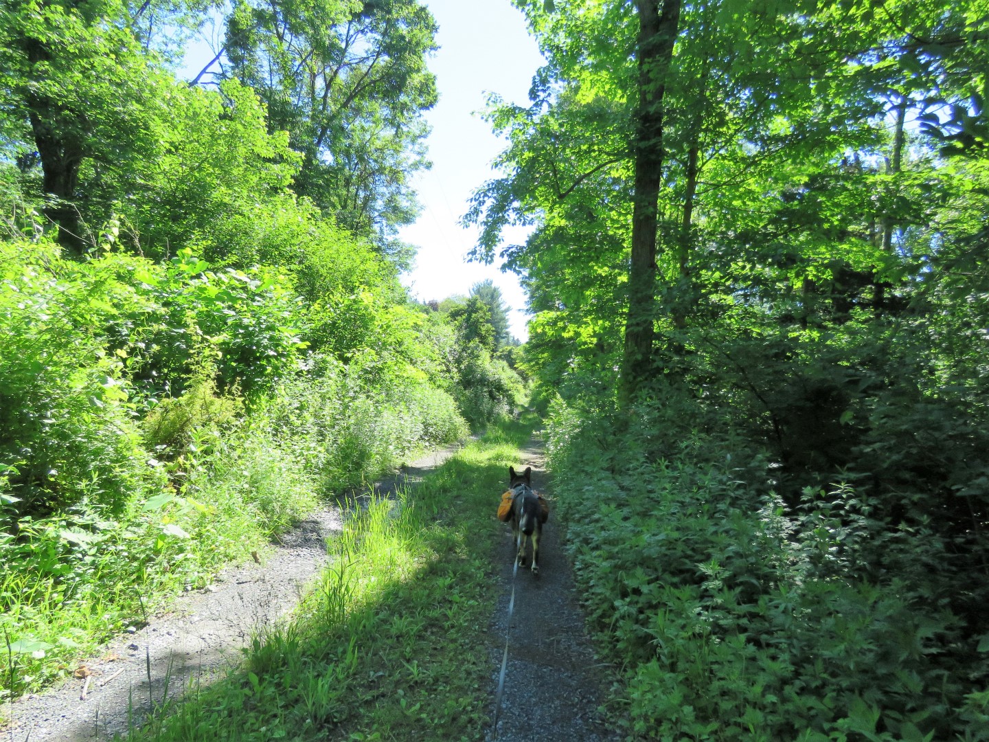
| Working our way back to the parking lot. |

 |
| This is the second, smaller lot. |
 |
| The larger lot where we parked was packed and many cars were circling looking for a spot. This was at noon on a weekday. |
No comments:
Post a Comment