ABOUT THE PARK:
Although not required for this hike, the trail register asks if you have a
watershed permit. It takes a minute to fill out the form and print out the free permit
online so why not? I always have a valid permit in my backpack just
in case I do need it.
DIRECTIONS:
GPS Coordinates 41.935190, -74.228813
TRAIL MAP:
HIKE DISTANCE: 2 miles
THE HIKE:

|
|
A trail register just beyond the gate.
|

|
|
The trail starts out as a gravel path.
|

|
|
Shortly after these ruins ...
|

|
|
... a left at the yellow sign to start the loop portion of the trail.
|

|
|
The trail passes by several overlooks.
|

|
|
Switchback down to ...
|

|
|
... a left on the yellow trail for a short out and back to ...
|

|
|
... the stone loading platform ruins.
|

|
|
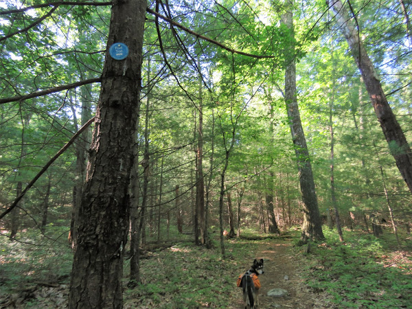
Back on the blue trail to continue the loop.
|

|
| Yale Quarry |

|
|
Mountains of tailings all along the way.
|

|
|
Back on the gravel trail ...
|

|
|
... to the parking lot.
|


No comments:
Post a Comment