Pennsylvania State Game Lands - Pennsylvania Game Commission
DIRECTIONS:
GPS Coordinates 40.941668, -75.672552
 |
| Buzzard's Point Parking on Behrens Road |
TRAIL MAP:
State Game Lands 141 Map - Pennsylvania Game Commission
HIKE DISTANCE: 11.5 miles
To the often crowded and hugely popular Tank Hollow Overlook the hike is 3.6 miles round trip.
THE HIKE:
On a nice day expect the parking lot to be packed but on this cool, cloudy day I started at 7:30 AM and was the only one there.
 |
| The hike starts at the gate from the parking lot. |
 |
| There is another parking lot at the top of the hill that can be accessed if the first gate is open but why? It's not much of a hike to Tank Hollow when parking here. |
 |
| Through another set of gates ... |
 |
| ... and downhill on an eroded section. |
 |
| There are several overgrown trails to the right with the no horses/no bikes sign. These are not the correct trails to Tank Hollow. |
 |
| This is the correct trail - there is a wide entrance ... |
 |
| ... and a rectangular orange sign about wearing orange during hunting season. |
 |
| This trail is wide and not overgrown. |
 |
| It's a pretty trail lined with blooming mountain laurel in June ... |
 |
| ... then turning to rhododendron which will bloom in July just before ... |
 |
| ... arriving at Tank Hollow Overlook. |
 |
| Lehigh River at Tank Hollow |
 |
| Heading back from the overlook. |
 |
| Coming back out on the gravel road. This is where most people turn left to head back to the parking lot but we had more to see so we turned right. |
 |
| The road becomes that awful chunky gravel that is miserable to walk on. |
 |
| But fortunately there is always a clear path on either side for comfortable walking. |
 |
| Left at this fork. |
 |
| After passing this open area ... |
 |
| ... a trail on the right that starts out wide open ... |
 |
| ... then narrows but always stays a clear, wide path through gorgeous walls of mountain laurel. |
 |
| The mountain laurel transitions to rhododendron. |
 |
| Some of these rhododendron tunnels are quite dark These will be loaded with rhododendron blooms in July. |
 |
| Watch carefully for a sharp left turn. |
 |
| Now heading uphill back in the direction of the gravel road. |
 |
| This path is narrower and a bit overgrown but still clear enough to pass through. |
 |
| Nearing the top back to mountain laurel ... |
 |
| ... back to the gravel road. |
 |
| Continuing on to the right. |
 |
| When that chunky gravel ends, the woods road continues to the left. |
 |
| Downhill all the way. |
 |
| I only found the trail on the right to Buzzard's Point because I had the coordinates marked in my GPS. (40.932633, -75.738083) |
 |
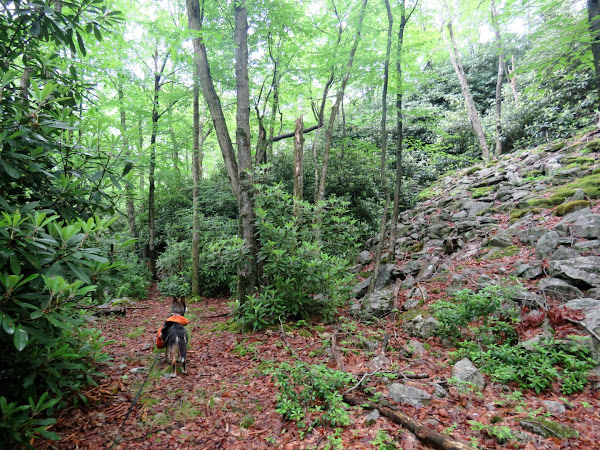
| It's a trail but it's pretty overgrown and hard to see but Brodie was on it. |
 |
| Brodie is in there somewhere. |
 |
| It's a short trail that comes out at the Buzzard's Point. |
 |
| A view of Penn Haven Junction with people on the D&L Trail down below. |
 |
| A nice quiet spot for a break. |
 |
| Those rhododendron bushes along the edge ... |
 |
| ... already have a couple of flowers blooming. |
 |
| Heading back up. |
 |
| At this time, these two logs were across the entrance to this side trail. |
 |
| Continuing a short distance to the right on the woods road ... |
 |
| Now retracing all the way back up. |
 |
| Coming out on the chunky gravel road and turning right. |
 |
| The chunky gravel becomes crushed gravel. |
 |
| Field Sparrow |
 |
| Back at the parking lot. |


No comments:
Post a Comment