

ABOUT THE PARK:
Cuyahoga Valley National Park, The Ledges - National Park Service
DIRECTIONS:
GPS Coordinates 41.223102, -81.510507
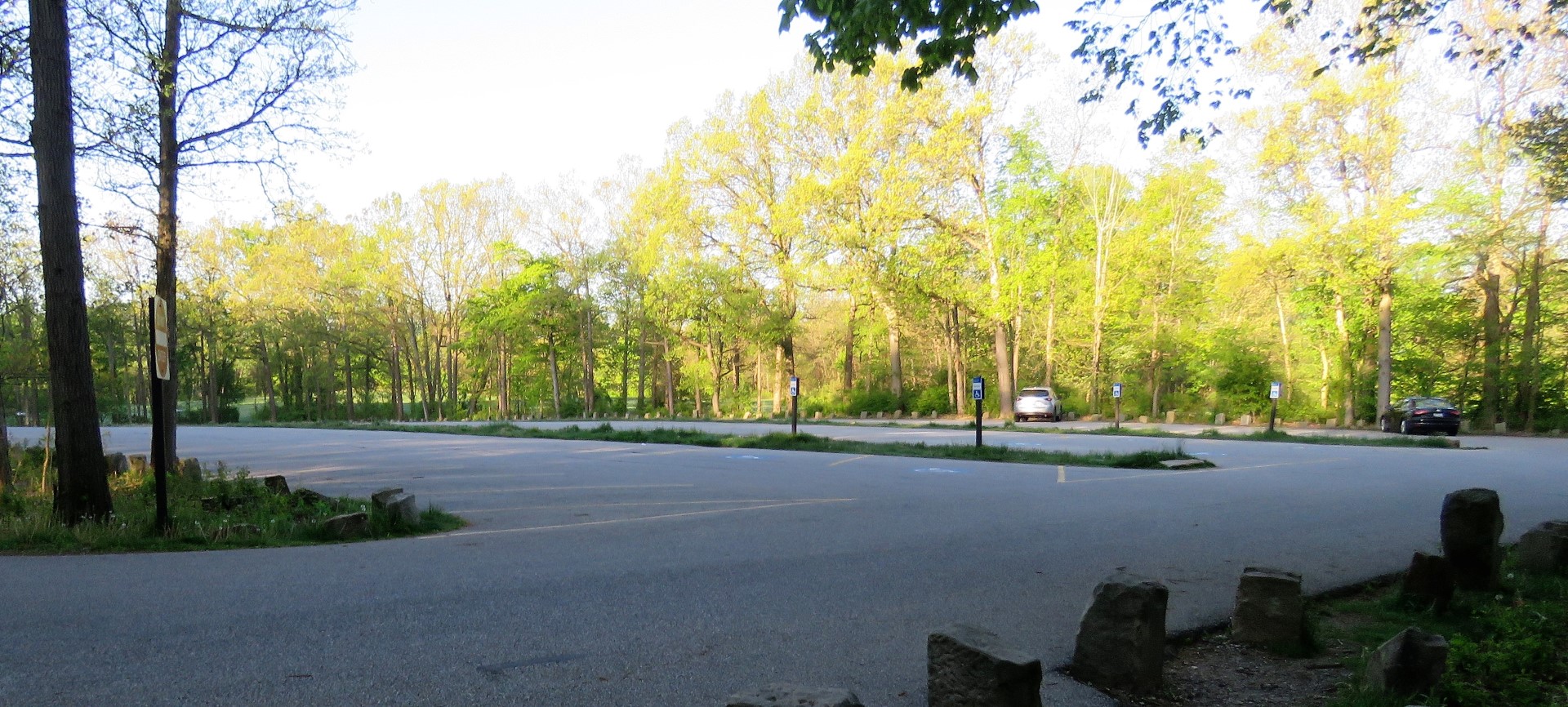 |
| Ledges Parking at 6:30 AM on a weekday. |
TRAIL MAP:
Ledges Area Trails - National Park Service
HIKE DISTANCE: 5 miles
THE HIKE:
Heading back to New Jersey from Missouri on travel day 2, hike 1 of 2.
 |
| From the parking lot, the trail starts on the paved portion of the parking lot entrance road turning left. |
 |
| There are signs directing the way. |


 |
| The the T-intersection of the Ledges loop, we turned right. I found out later that we would have missed a lot to the left but when I realized that at the end of the hike, we came back and did that part. |


 |
| The Overlook |

 |
| We were heading down to hop over to the Pine Grove Trail when something caught my eye to the left. |
 |
| A barred owl! I had not seen one since 2015 in Massachusetts. This owl was sitting with his back to us and had twisted his head completely around. Zoomed in pictures were blurry due to the darkness but little did I know I would get another chance later. |


 |
| Starting the Pine Grove Trail loop. |


 |
| Veery |
 |
| I had not seen a single pine on the Pine Grove Trail and was wondering if these dead trees were the pines that the trail was once named after. |

 |
| A dead pine. They must have all died. |
 |
| Finishing the loop and heading back. |

 |
| Continuing left on the Ledges Trail. |

 |
| Here I turned right towards the Ledges Shelter where we had parked thinking we were finishing up. |
 |
| All of a sudden something flew over to the right ... |
 |
| Another barred owl! |
 |
| It was at this map up ahead that I realized I had missed a huge chunk of ledges so we turned left ... |
 |
| ... back down the way we started then turned left at the T-intersection. |

 |
| The Ice Box Cave which is closed. |


 |
| Heading up these steps completes the part we missed. At the top we turned left heading back towards the parking lot, the same way where we had seen the owl. |
 |
| And there she was again! She flew over to the left this time. No doubt she has a nest there and was luring us away. |
 |
| Back to the parking lot. |
No comments:
Post a Comment