

ABOUT THE PARK:
Salamonie River State Forest - Indiana Department of Natural Resources
DIRCTIONS:
GPS Coordinates 40.809009, -85.682888
 |
| Hominy Ridge Lake Parking (parking is not shown on the trail map) |
TRAIL MAP:
Salamonie River State Forest Horse and Hiking Trails - Indiana Department of Natural Resources
HIKE DISTANCE: 4.5 miles
THE HIKE:
Heading back to New Jersey from Missouri on travel day 1, hike 2 of 2.
 |
| We started on a trail to the far right of the parking lot heading towards Salamonie River. It was a very muddy and chunked up trail from heavy horse traffic. |
 |
| Salamonie River at the Salamonie Dam |
 |
| Zooming in to a waterfall on the other side of the river. |
 |
| We arrived at the river just in time to see two crows chasing a bald eagle. |

 |
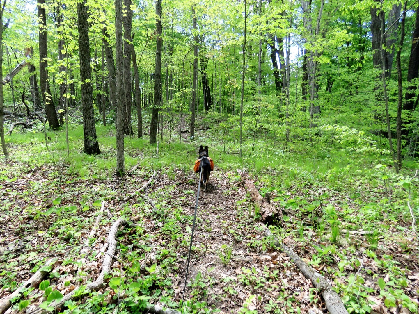
| At times there were trails where horses were not allowed ... |
 |
| ... and those trails were in great shape. |
 |
| A Greater Yellowlegs in the Salamonie River. |

 |
| A waterfall with a trickle of water coming down. |

 |
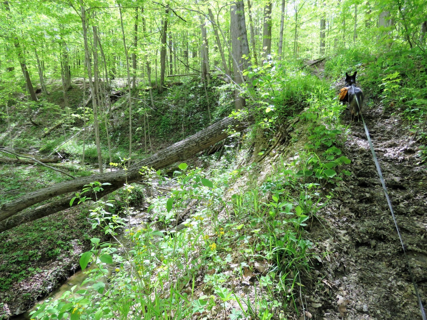
| Several trails branched off steeply uphill with no signs so we just went up ... |
 |
| ... and followed a very faint trail ... |
 |
| ... until we hit an actual trail but with no blazing and very few signs I had to rely heavily on the Gaia app to determine where we were. |
 u
u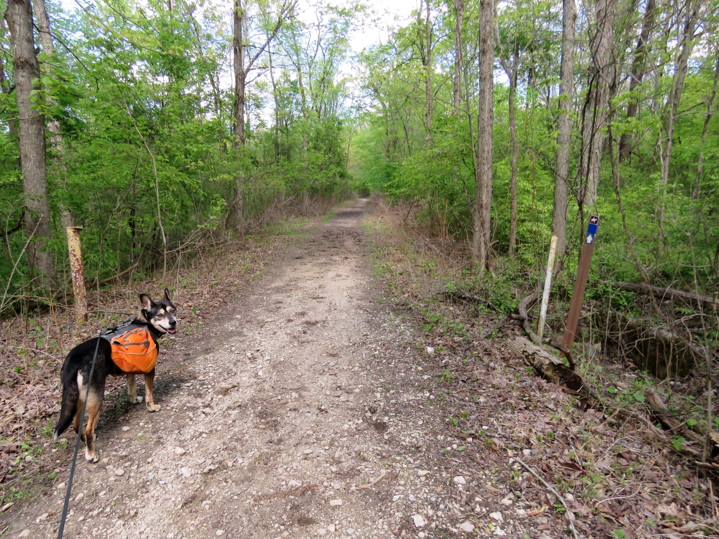 |
| A rare marker for the blue trail. |


 |
| There were supposed to be several waterfalls along the way but they must have dried up because I had no luck in finding them even though there had been rain recently. |


 |
| Ah ha! A waterfall. Seems I found two out of the five. |


 |
| Crossing the dam at ... |
 |
| ... Hominy Ridge Lake ... |
 |
| ... back to the parking lot. |
 |
| A tired dog out for the night in the motel. |
No comments:
Post a Comment