ABOUT THE PARK:
Ringwood State Park - NJ Department of Environmental Protection
DIRECTIONS:
GPS Coordinates 41.11915, -74.23845
 |
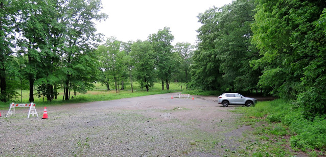
| Parking Lot C |
TRAIL MAP:
North Jersey Trails Map 115 - NYNJ Trail Conference
Five Ponds Loop Trail Map - NYNJ Trail Conference
PEAK BAGGING:
HIKE DISTANCE: 10.6 miles
The Five Ponds Loop only is 5 miles
THE HIKE:
 |
| Start at the kiosk in Parking Lot C to go in a clockwise direction. |
 |
| Swan Pond |
 |
| After two days of rain there were lots of puddles and streams on the trails. |
 |
| Side trail on the left leads to an overlook. |
 |
| After retracing from the overlook and continuing on pink for a short distance, we detoured left on red to summit Mount Defiance since we were so close. |
 |
| There is actually a faint trail that leads to the left to ... |
 |
| ... the summit of Mount Defiance. |
 |
| Having retraced on red, left on pink to continue the loop. |
 |
| The little red efts are out and about. |
 |
| Glasmere Pond |
 |
| Weyble Pond |
 |
| Pink joins the white trail for a bit. |
 |
| Couldn't get these - too high up in a tree. |
 |
| Pink continues to the right but we went left towards Bear Swamp Lake but would be returning to this point to continue the pink Five Ponds Loop later in the hike. |
 |
| On an unmarked woods road. |
 |
| The Gaia app showed a short trail which would cut off a significant amount of woods road walking so we gave it a shot. |
 |
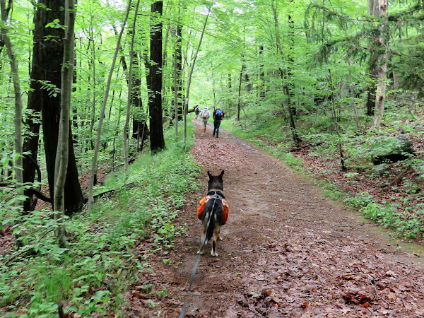
| Brodie's trusty nose actually kept us on the trail even though it no longer exists. |
 |
| Red ends at yellow where we turned right ... |
 |
| ... then left on blue to circle around the far side of Bear Swamp Lake. |
 |
| Blue starts out very rocky and rugged ... |
 |
| ... then becomes a gravel, sometimes paved, road. |
 |
| At the far end of Bear Swamp Lake, over the dam for ... |
 |
| ... basically the only view of the lake when leaves are on the trees. |
 |
| Left on the Cannonball Trail heading towards Ilgenstein Rock. |
 |
| Right on white. |
 |
| Coming up on the Ilgenstein Rock overlook. |
 |
| Views of the New York City skyline. |
 |
| Bear Swamp Lake down below where we had just been. |
 |
| Napping |
 |
| There is one thing that wakes him up immediately. |
 |
| Continuing on white/yellow ... |
 |
| ... with a short bushwhack to the left for the actual summit of Ilgenstein Rock. |
 |
| Staying on white to the intersection where we had come from the old trail before turning on blue. |
 |
| You would never know it was there if you didn't have a track to follow. |
 |
| And/or Brodie's nose. I actually found an old while metal marker on a tree along the way but it had almost been completely devoured by the tree. Just a little corner was sticking out. |
 |
| Coming back out on that unmarked woods road where we turned left ... |
 |
| ... then left back on to the pink Five Ponds Loop. |
 |
| The trail through the grass to Brushwood Pond was too overgrown to navigate through ... |
 |
| ... so we skirted around to the left where there was another opportunity to catch a view of the pond. |
 |
| The only few seconds of sunshine during the hike. Of course it was blue skies and sunny on the drive home. |
 |
| Gatun Pond |
 |
| Pink joins in with white again for a bit before leaving. |


Great post there are so many trails here and in Ramapo Reservation that give us entirely new routes every time we visit. On weekends - or when school is out of session - we park at Ryerson Middle School in Erskine Lakes. There are some unmarked, heavily-trafficked trails behind the school that lead up the mountain.
ReplyDeleteI have it in my notes somewhere to park at Ryerson. That would be a good place to start when I go back to summit Drag Hill and Rocky Mountain. I was right there on the far side of Bear Swamp Lake but I figured it would make the hike run too long so decided to make another hike out of it another time. Thanks for the reminder, I will make note of that.
Deletethis looks like a great hike with woods, fields, water, and vistas all packed together and 11 miles is just about my sweet spot, especially a loop or lollipop. what time yesterday did you start that you had it all to yourself?
ReplyDeleteHikers of a like mind, LOL. I started at about 6:30 AM. One mountain biker passed me at Weyble Pond then absolutely nobody until I got back on the trail after the Ilgenstein Rock summit when a group of 5 mountain bikers came from the opposite direction. That was it until those two hikers and the trail maintainer at the end. The parking lot at the botanical gardens was packed but there were only about 6 cars in lot C when I left.
Delete