

ABOUT THE PARK:
Roebling Bike Path - nothing online. I am not even sure that is what it is called but "bike path" signs all through town lead to it.
Delaware River Heritage Trail - Route 130 Bypass Section - The Circuit Trail
DIRECTIONS:
GPS Coordinates 40.11825, -74.78174
 |
| Very limited parking at the end of 10th Avenue but ... |
 |
| ... lots of parking one block away all down the middle of Main Street to the right ... |
 |
| ... and to the left. |
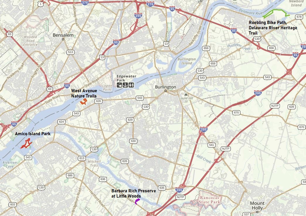
TRAIL MAP:
Delaware River Heritage Trail - Route 130 Bypass Trail - Burlington County
The Roebling bike trail is to the east of the Delaware River Heritage Trail (or it may all be one and the same).
HIKE DISTANCE:
This was the most I hiked in one day post-surgery. Breaking it up into smaller hikes with 10-20 minute drives in between made my first day of 7.5 miles easy to accomplish.
Roebling Bike Path/ Delaware River Heritage Trail - 3.3 miles
10 miles/20 minutes to
West Avenue Nature Trails - 1.4 miles
4 miles/11 minutes to
Amico Island Park - 1.9 miles
6 miles/13 minutes to
Little Woods on the Rancocas - .85 miles
West Avenue Nature Trails - 1.4 miles
4 miles/11 minutes to
Amico Island Park - 1.9 miles
6 miles/13 minutes to
Little Woods on the Rancocas - .85 miles
THE HIKE:
 |
| The paved path begins at the end of 10th Avenue. |
 |
| At the intersection we turned left and would be returning from the right. |

 |
| This would be where those goats would be but they are apparently still on winter break as none were to be seen. |

 |
| The path curves to the right following along the Delaware River. |
 |
| Yay for lots of trash cans. Once we start doing longer hikes and Brodie can carry it in his backpack and trash cans won't matter. |


 |
| A bufflehead couple. |
 |
| At first I thought this was a hawk but when I zoom in the head and beak look like that of an eagle so it might be a juvenile bald eagle. |
 |
| To the right returns to where we started, straight ahead dead ends at a fence, left is where the Delaware River Heritage Trail section begins according to the map. |

 |
| Some mallards and common mergansers. |
 |
| Ducks dining. |
 |
| The path passes along the abandoned Roebling steel mill site on the right. |
 |
| Lots of female buffleheads. |
 |
| If the boy buffleheads are looking for the girl buffleheads, they are straight ahead. |
 |
| Ugh, a balloon I can't reach on the other side of the fence. |

 |
| The path follows along live railroad tracks. |
 |
| Apparently a railroad crossing dispute did not allow for the trail to go through but a resolution has been reached and ... |
 |
| ... according to this article, once this 1.3 million dollar crossing is complete the fence will go down and crossing will be allowed to continue on the trail. |
 |
| But today this had to be our turn around point since crossing is still prohibited. |


 |
| Coming back up on that intersection at the Roebling bike trails, we turned left. |

 |
| Looks like a dog park on the left. Nobody was there ... |
 |
| ... so in we went. |
 |
| How nice, a dog park with a view of the Delaware River, although Brodie could have cared less about the views. |

 |
| To the left leads to Riverside Avenue - there are two such forks. |
 |
| A left at the third fork leads back to 10th Avenue where we parked. |
 |
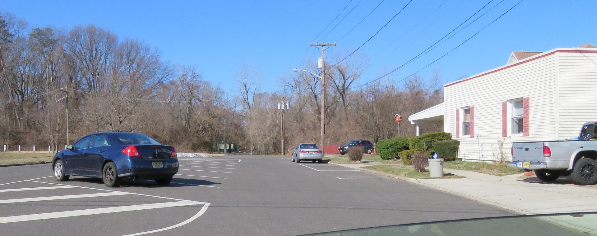
| Note that there is no parking across the white line in the circle part of the road. |
No comments:
Post a Comment