

Rockleigh Woods Sanctuary - NYNJ Trail Conference
Alpine Mountain Biking Trails - Trailforks
DIRECTIONS:
GPS Coordinates 41.003960, -73.925370
 |
| Trailhead parking behind Rockleigh Borough Hall |
TRAIL MAPS:
Rockleigh Woods Sanctuary/Lamont Reserve Map - NYNJ Trail Conference
Alpine Mountain Biking Trails - Trailforks
I had downloaded the track for Alpine/Rockleigh Grand Tour to use as a guide to navigate the many unmarked mountain bike trails but I believe Trailforks subscription is needed in order to do that.
HIKE DISTANCE: 10.6 miles
THE HIKE:
 |
| Access to the trail at the kiosk from the Rockland Borough Hall parking lot. |

 |
| At the first intersection we turned right on yellow to start a counterclockwise loop combining Rockleigh Woods, Alpine mountain bike trails and Lamont Reserve. |


 |
| Looking back, we had come from yellow and made a sharp right turn on white. |


 |
| Lamont Rock |
 |
| A short distance from Lamont Rock are some very partial and seasonal views of the Hudson River. |
 |
| Heading back to Lamont Rock and keeping left on pink paint/red discs, known as the Red Dot Trail. |


 |
| There will be lots of camp ruins along the way. |
 |
| The campmaster seems to have the swankiest ruin. |

 |
| Leaving red and taking some unmarked trails. |


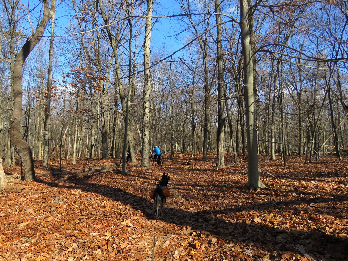 |
| We encountered a few mountain bikers along the way. |


 |
| At this boardwalk we should have continued left on the boardwalk but ... |
 |
| ... I could see where that Red Dot Trail was to the right so I went that way to make the hike more of a loop instead of heading back to where I had been before. |
 |
| It wasn't long before the Red Dot Trail fizzled out. The markers where still in place but the trail was completely gone so we I bushwhacked over to the road ... |
 |
| ... and road walked a bit to get back to the trails. This turned out to be an active part of the camp where I probably should not have been but I ran into some people manning a finish line for a race that I never got caught up in and asked permission to hike through to get back to the trails and they said that was fine so I continued on ... |
 |
| ... and found the Red Dot Trail now on a road. |
 |
| The Red Dot Trail continued on the road but in the wrong direction to I bushwhacked a short distance to where I needed to be ... |
 |
| ... which also turned out to the the Red Dot Trail. Most confusing! Had I turned left on that boardwalk I would have eventually ended up here bypassing the active scout camp area. |

 |
| The red trail runs into the white-dot-on-purple trail which heads north back to Rockleigh. |


 |
| Close to the Palisades Interstate Parkway. |

 |
| The purple trail ends at yellow but I was only at 9 miles so to add on another mile I turned left uphill ... |
 |
| ... then right on red downhill along scenic Roaring Brook. |


 |
| Now retracing on yellow from the beginning of the hike ... |
 |
| ... back to the parking lot. |
 |
| Balloons #20 - #24 of the year packed out plus 3 in trees that could not be reached. |