ABOUT THE PARK:
Evans Family Forest Preserve - Chester Township (The trail descriptions refer to a green trail but there is no green trail. The trail is marked in blue as shown on the map.)
Highlands Ridge Park - Chester Township
DIRECTIONS:
GPS Coordinates for Willow Drive Parking - 40.79152, -74.66128
 |
| Parking for two cars off of the cul de sac at the end of Willow Drive. |
TRAIL MAP:
Parkland Trails Map - Chester Township

HIKE DISTANCE: 5.2 miles
THE HIKE:
 |
| Trail Head at Willow Drive |
 |
| The trail description on the Chester Township site refers to this as a green trail but it is blue. There are aqua markers along with almost all other colors of trails. |
 |
| I wanted to go right on blue but did not see the turn so I turned right on yellow instead to connect back to blue. |
 |
| Yellow ascends ... |
 |
| ... and ends at blue on the ridge. |

 |
| On the millrace. |
 |
| Leaving the millrace at Ayers Brook. |

 |
| All stream crossings had bridges. (No log bridges as referred to in the trail description.) |

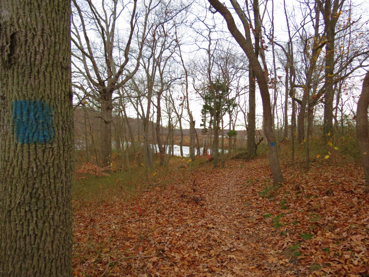
 |
| The end of blue (which is shown as unmarked on the map) ... |
 |
| ... at white, which also has those aqua markers. |

 |
| White ends ... |
 |
| ... at red. |

 |
| Red gets close to back yards ... |
 |
| ... and crosses a colorful bridge ... |
 |
| ... before ending at the South Road parking lot. |
 |
| To form a loop, turn left on South Road the left just past the guardrail... |
 |
| ... and look (very hard) for blue. |
 |
| It's unused and overgrown so you just have to find your way parallel to Ayers Brook. |

 |
| At yellow, which is very well-defined, turn right. |


 |
| A field to the right. |
 |
| An unmarked trail (per the map) which is actually blazed with those aqua markers, leads to a woods road on the right. |
 |
| Turn right on the woods road... |
 |
| To access a lovely mowed path through the field. |


 |
| This comes out on to a mowed field which is the Black River Fields. |
 |
| You can walk along the perimeter of the field to form a loop. (not shown on map) |
 |
| Black River Fields |
 |
| At the far end of the fields at a break in the fence, turn left on the paved road. |

 |
| This leads to the community garden. |

 |
| A loop around the community garden then right on the mowed path where I found ... |
 |
| ... the red-tailed hawk who had been calling out for some time. |
 |
| While I was photographing, he was joined by two blue jays! |
 |
| Back at the bridge on the woods road where you turn left just before the bridge to connect back to Evans Family Preserve. |
 |
| Heading straight on yellow. |
 |
| At the fork, take the bridge on the left to extend the hike. The bridge on the right will short cut it back to the parking lot. |
 |
| After another bridge turn right on red which follows Ayers Creek and ends ... |
 |
| ... at white at a stone wall. Turn right on white but again, an unused and overgrown section of trail. |

 |
| It's a shame the white trail in this area has not been maintained because it is actually on of the more interesting sections of trail following along the top of a massive stone wall along Ayers Creek. |
 |
| Shawnee opted not to hike on the wall, which was fine, she followed along below. |
 |
| We met back up at the end of the wall. |

 |
| While I was busy trying to get a picture of a white-breasted nuthatch (and they are not easy to get)... |
 |
| ... Shawnee climbed the millrace and stood patiently waiting for me. |

 |
| This time I continued on the section of blue I could not find at the beginning of the hike. |

 |
| It actually has a name. |
 |
| The parking lot in sight up ahead. |