

Black Run Preserve - Friends of the Black Run Preserve
DIRECTIONS:
GPS Coordinates 39.84599, -74.89919
 |
| Parking at Kettle Run Road Trailhead |
If the Kettle Run parking area is full there is another parking lot farther south 39.82987, -74.88867
 |
| Bortons Road Trailhead Parking |
TRAIL MAP:
Black Run Preserve North Section and AeroHaven Trails - Friends of Black Run Preserve
HIKE DISTANCE: 9 miles
THE HIKE:
Getting a hike in before an incoming winter snow storm that ended up not being near what was forecast.
 |
| Walking back out of the Kettle Run Road parking lot to start on the trails on the other side... |
 |
| ... at the kiosk up ahead on the left. |
 |
| The blue trail that goes through the parking lot continues to the left as a wide woods road. But given the option, we chose the yellow footpath straight ahead. |


 |
| Meeting backup with blue, there are some dead end spur trails that end in the bog. The trails actually continue on but you can't get to the other side since there are no bridges. |


 |
| I could see LOTS of ducks in that part where there is a gap in the trail so I zoomed in for one blurry shot of 26 ducks (there were way more) ... |
 |
| ... before they took off. This is one group of 66 - there were two other groups. |
 |
| So we continued on to the end. |
 |
| Wait - what? Do these ring-necked ducks have no "Leave No Duck Behind" policy? I sure hope they come back for him. |


 |
| Black ends at Kettle Run Road ... |
 |
| ... for a short road walk to the right before the trail crosses over. |

 |
| I have never seen so much fresh beaver carpentry in one spot. There was way more than this. |


 |
| This dead end spur ends at Black Run. |


 |
| At this area many trails converge. |
 |
| This is where we picked up green going into the AeroHaven section (hence the A). |
 |
| Squiggly mountain bike trails cross over frequently. |
 |
| Crossing Borton's Road that leads to the other parking area to the left. |


 |
| This confused me because the grouping of markers denoting the end of the trail did not mean it was the end of the green trail. The trail actually splits left and right. So I would assume that the intention of those markers is to mean that the trail goes left and right. We went right to the Overlook Loop. |
 |
| Another split at the loop. |

 |
| There isn't much of an overlook, just a huge sand pit that is sometimes visible. |
 |
| After finishing the loop and continuing on green, the trail goes right through that sand pit. |


 |
| Even Brodie noticed this was out of place. |
 |
| The AeroHaven trails are not on my app so I had to refer to the map often to navigate. I had it in a plastic bag in anticipation of the incoming snow storm. |


 |
| Ending up back on blue which extends almost the entire length of the preserve. |

 |
| Passing through the Bortons Road parking area. |

 |
| There were several of these closed sections along the way. |
 |
| The REI blazed mountain bike trail crosses over several times. I am actually a little miffed at REI. I had booked one of their adventure hiking trips to Maine for this summer only to get an email a week later stating they are cancelling all of their trips and not doing them any more. But in the end all worked out because I found one with the Sierra Club that is two days longer and will cost me about $2,000 less. |


 |
| We struck out on an unmarked trail just in time for sleet to arrive. |

 |
| Balloon #1 of the year. |


 |
| With blue being a wide woods road ... |
 |
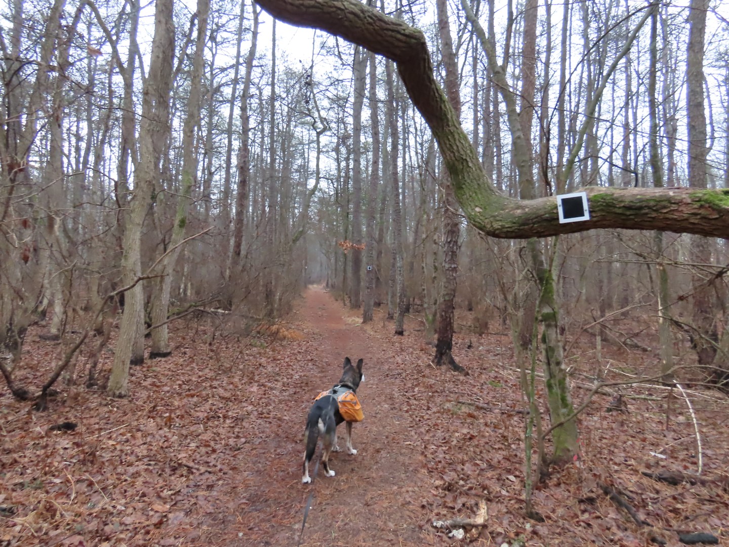
| ... I opted to take other trails heading in the same direction. |


 |
| Back on blue to the parking lot. |


Enjoyed beaver carpentry. Happy New Year!
ReplyDeleteThose were some busy beavers! Happy New Year!
DeleteHi Daniela -- excellent...another South Jersey hike! (Yes, I'm a little late commenting on this one! :) I visit Black Run Preserve every so often...was just there last year, where I did the full Red Trail (plus a bit of blue to get back to the Kettle Run Road parking area.) Not sure if I've ever been to the AeroHaven section though; I think it's relatively new, but I don't recall seeing the trail markers with the "A" on them. Also, not sure if I remember the sand pit area (from any of my previous hikes there.) Sure wish they would construct a bridge in that one area (West side of Kettle Run Road, I believe?) where one can see the continuation of the trail...but I'm not planning on wading/swimming across the pond to get to it!! Like you, I also took that Yellow Trail (I think it's supposed to connect to nearby Cold Spring Preserve...if one could again cross the swamp/pond.) Unfortunately, Cold Spring Preserve itself seems to have fallen badly into "disrepair", as the field that led to the trail (off Braddock Mill Road) was reclaimed by _very_ tall grass and small trees.
ReplyDeleteAnyway, always great to have you down in South Jersey...hope you return again soon!
Jim
I think the AeroHaven section is fairly new. I hadn't been there in 10 years but I know it wasn't there then. I agree, would be nice to be able to make use of the trails on the western side of the western section. One little bridge would be sufficient.
Delete