

Gateway National Recreation Area - National Park Service
Twin Lights Historic Site - New Jersey State Park Service
DIRECTIONS:
GPS Coordinates 40.39694, -73.98367
 |
| Street parking along Highland Avenue. |
TRAIL MAP:
Sandy Hook Map - National Park Service
HIKE DISTANCE: 9.8 miles
THE HIKE:
I always wanted to walk across the Highlands - Sea Bright Bridge to Sandy Hook and with less snow there than anywhere else, this was the day to do it.
 |
| Walk back out Highland Avenue, cross Portland Road then right on to the bridge. |


 |
| To the left you can take steps down but we went right ... |
 |
| ... to take the ramp. |


 |
| Just past the fee plaza up ahead ... |
 |
| ... we turned right towards the beach. |


 |
| The New York City skyline is always visible straight ahead. |
 |
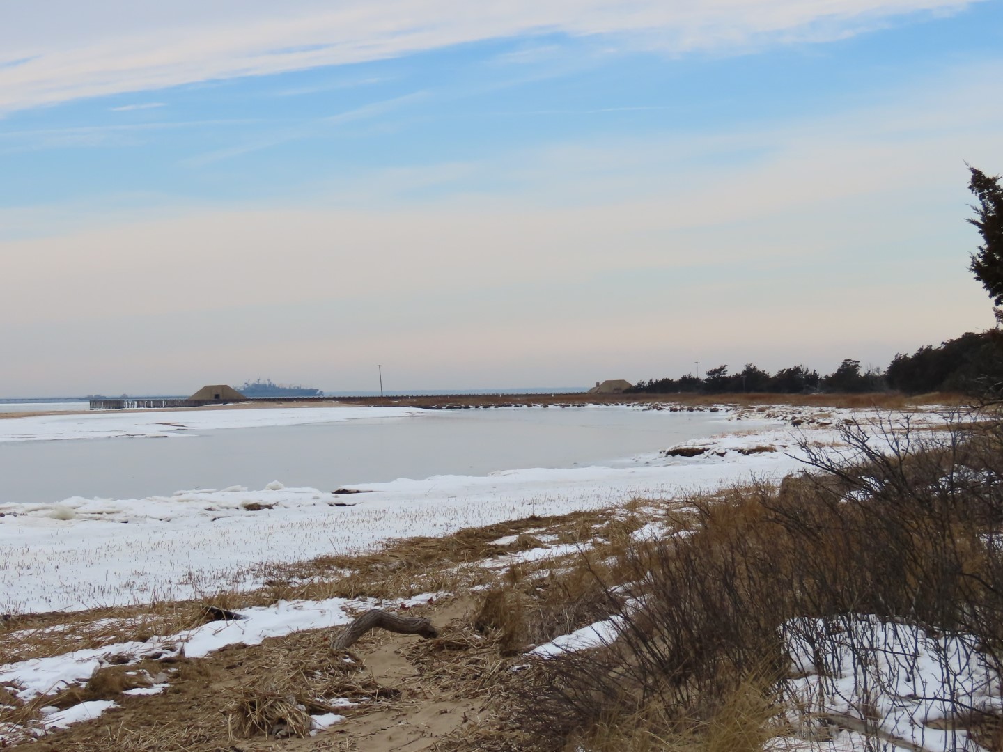
| Tons of shorebirds to be seen along this stretch starting with a Red-necked Grebe. |
 |
| Long-tailed Ducks |
 |
| Brodie was told he is never coming to Sandy Hook again. He thought it was an all-you-can-eat seafood smorgasbord. I was stopping to take pictures often. He was snarfing down every time I had my back turned. Hard telling what all he ingested. I did manage to get him to drop a huge shell. Sigh. |
 |
| Having a hard time identifying this guy. He is bigger and darker than the one below so I am inclined to go with Semipalmated Sandpiper. |
 |
| This smaller, lighter one is a Sanderling. They are so fast they skitter around to where I had to aim the camera to where I thought he would be in a nanosecond then shoot the minute he entered the frame. Success! |
 |
| And of course, seagulls everywhere. |
 |
| These are female and male Black Scoters. |
 |
| A forward facing male Black Scoter. |
 |
| Buffleheads |
 |
| Brants |

 |
| Common Goldeneye - and that was the last of the shore birds spotted. |
 |
| Coming up on Fishing Beach ... |
 |
| Where we turned left on Fishing Beach Road. |

 |
| Right on South Beach Dune Trail. |


 |
| Left on Atlantic Drive ... |
 |
| ... then left on the bike path. |
 |
| Mileage markers show how many miles back to the bridge. |


 |
| We took a side trip over to ... |
 |
| ... the Spermaceti Cove Boardwalk. |
 |
| The Canada Geese were hanging out over here. |
 |
| Every time I have come here I have hoped to see a seal but no luck today either. |

 |
| Back on the bike trail. |
 |
| We stopped to wait while a Northern Mockingbird was taking a long drink out of a puddle on the bike trail. We might still be standing there waiting had a jogger not come by and scared the bird off. |

 |
| Coming up on the bridge where we were taking the ramp up ahead putting us on the opposite side of the bridge. |

 |
| Twin Lights Historic Site up ahead. We would be there shortly. |
 |
| Red-breasted Merganser |

 |
| You miss the fine details when zooming by in a car. |

 |
| So here we ended up on the opposite side of the bridge. I am sure the correct way to get to the other side is to keep right where the path leads under the bridge to the other side. However, I could see it descended pretty steeply and was ice covered in the shade so since there happened to be a break in traffic, we crossed on over here. Not saying anyone should do that. You actually should not. There generally is a lot of traffic here. Either keep right and go under the bridge or return via the second ramp from the bike path which leads to the other side of the bridge. |
 |
| See - no cars. Shhhhh. |
 |
| Passing by my car for less than a half mile round trip to Twin Lights. You can't leave a car parked there to hike so this street parking is the only option I could find but it worked out well. |
 |
| From Highland Avenue, left on Light House Road. |

 |
| It was open but I could not go in with Brodie so we did the loop path around the building. |


 |
| Heading back down. |

 |
| Back on Highland Avenue with my car up ahead on the left. |

Nice hike! I did almost the same route except I drove up to the Twin Lights rather than walk that steep entry road with the blind curves. My hike was Thursday October 24, 2012. Yes, 2 days before Superstorm Sandy made the Sandy Hook area inaccessible for months. I didn't plan the hike with that in mind. It just worked out that way, I had no idea the storm impact would be so great.
ReplyDeleteWow, what timing! In hindsight, had I driven up to Twin Lights, I could have left Brodie in the car and gone inside. Oh well, next time. Except since I banned Brodie from Sandy Hook it won't be an issue :)
Delete